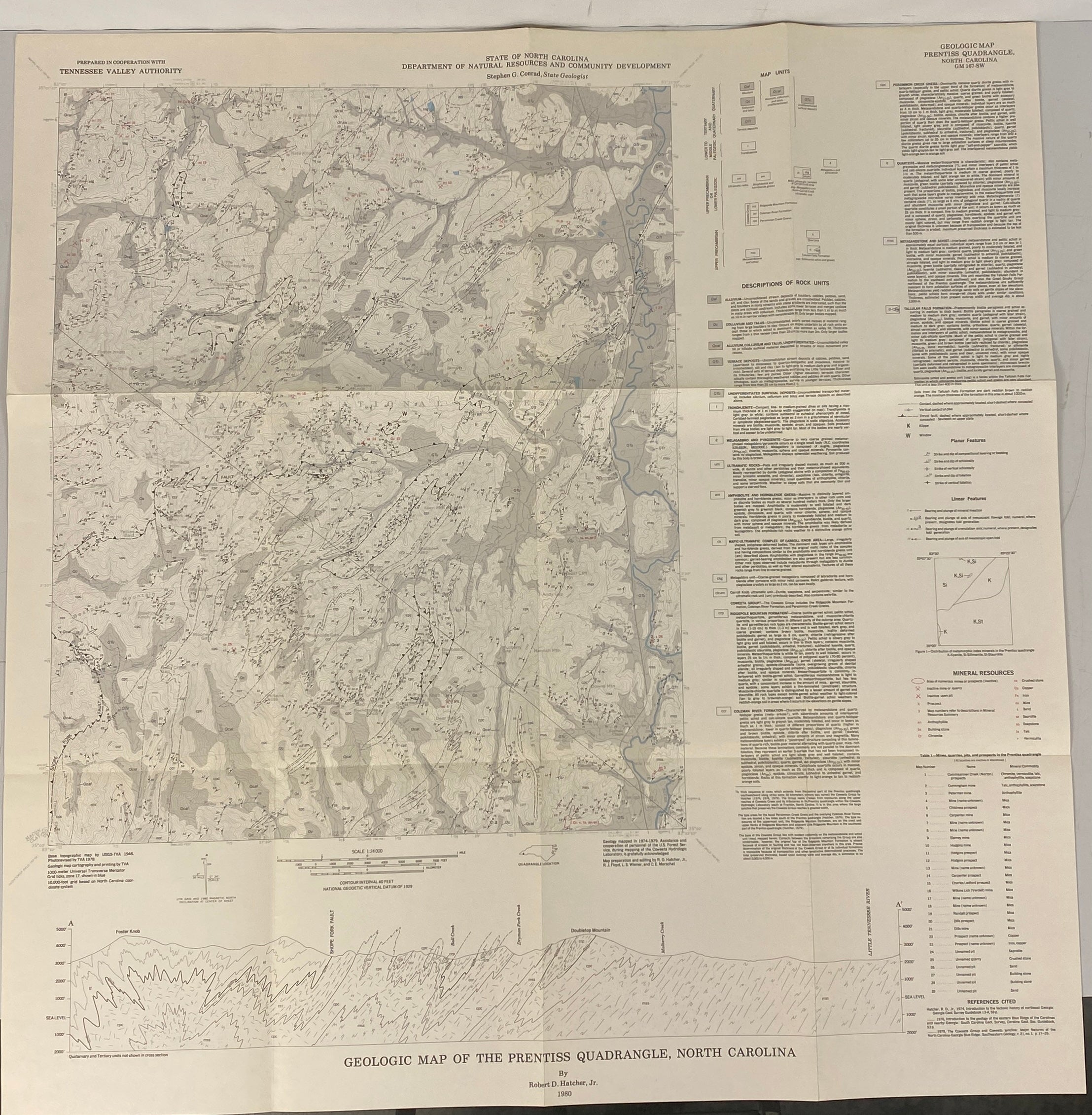
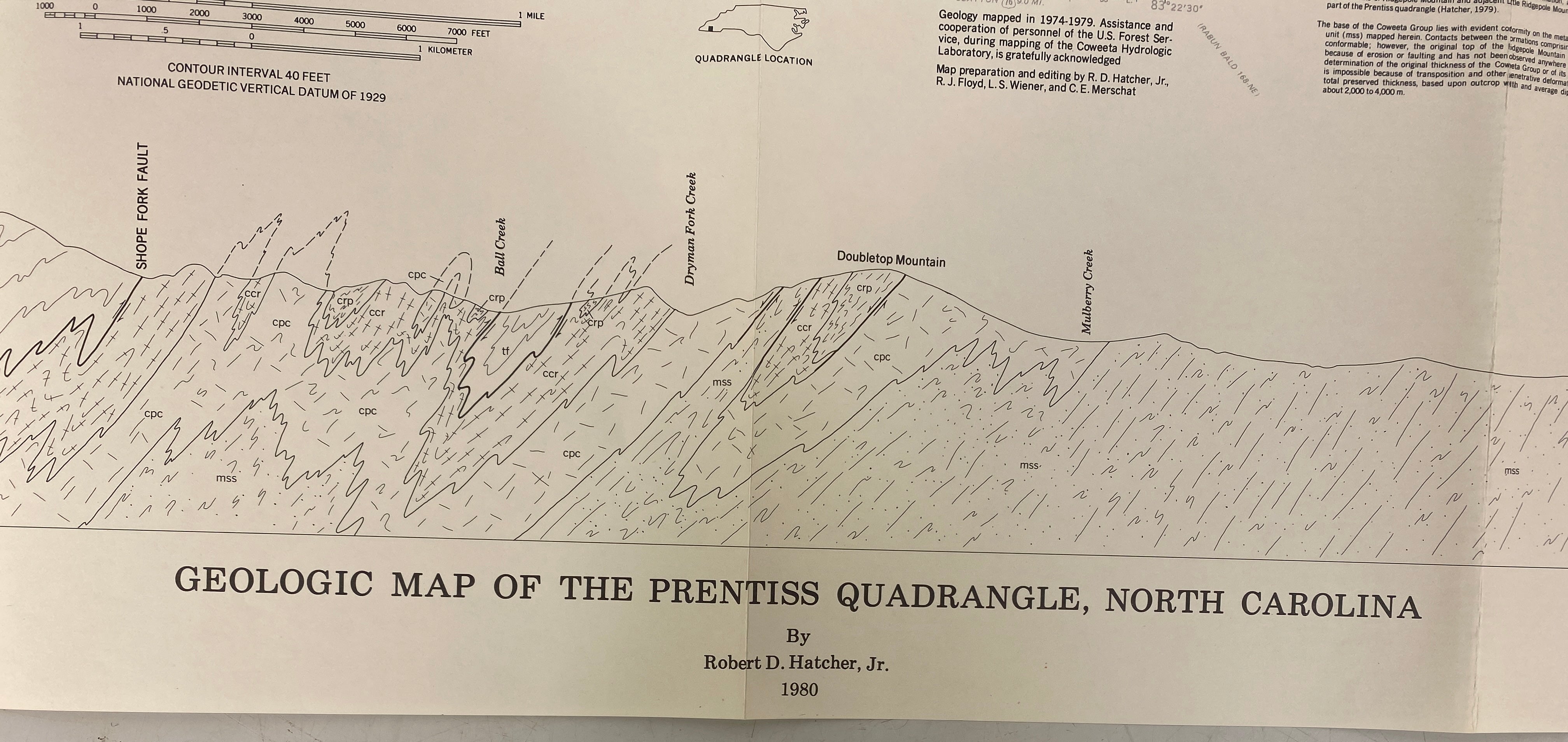
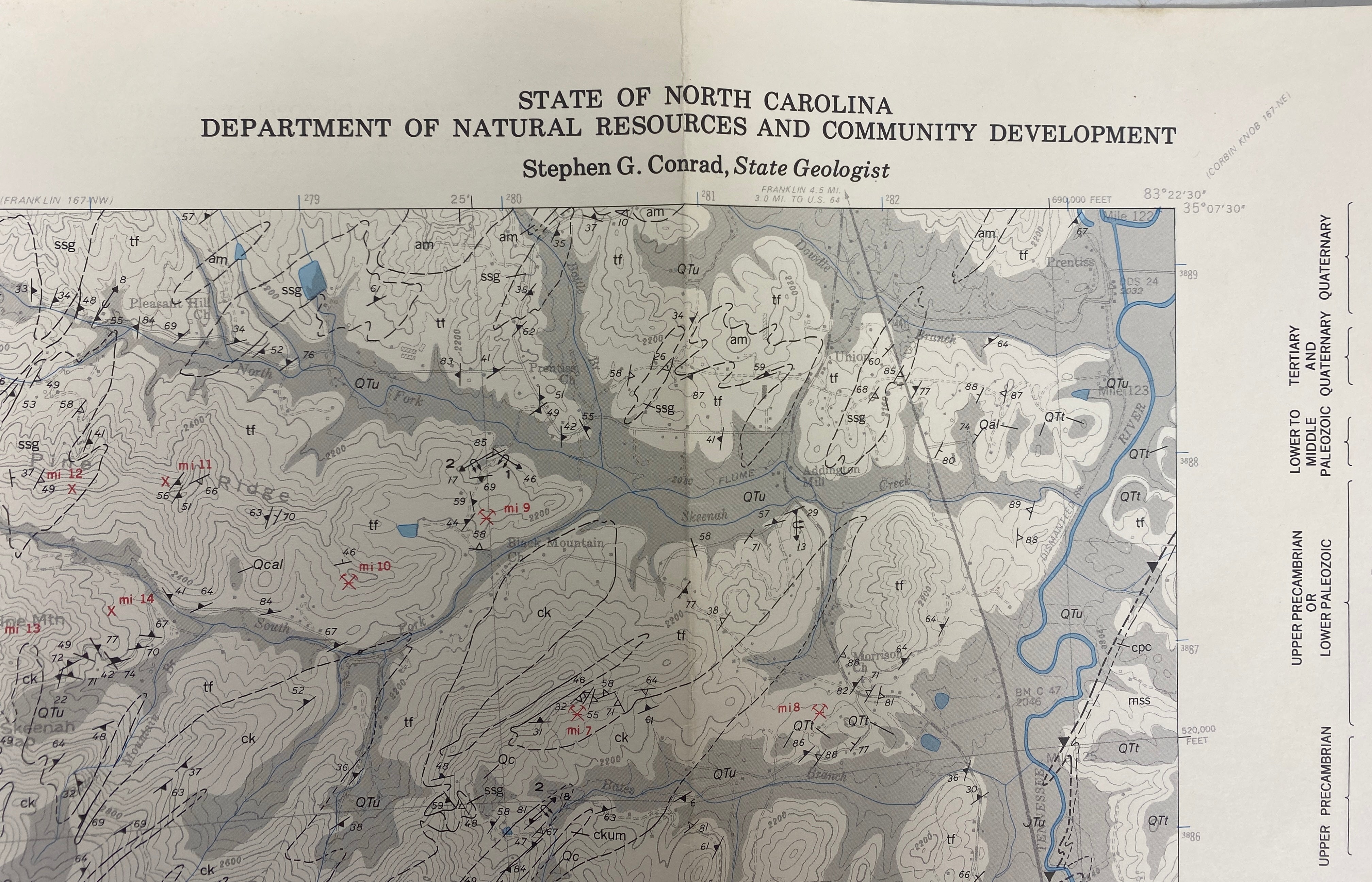
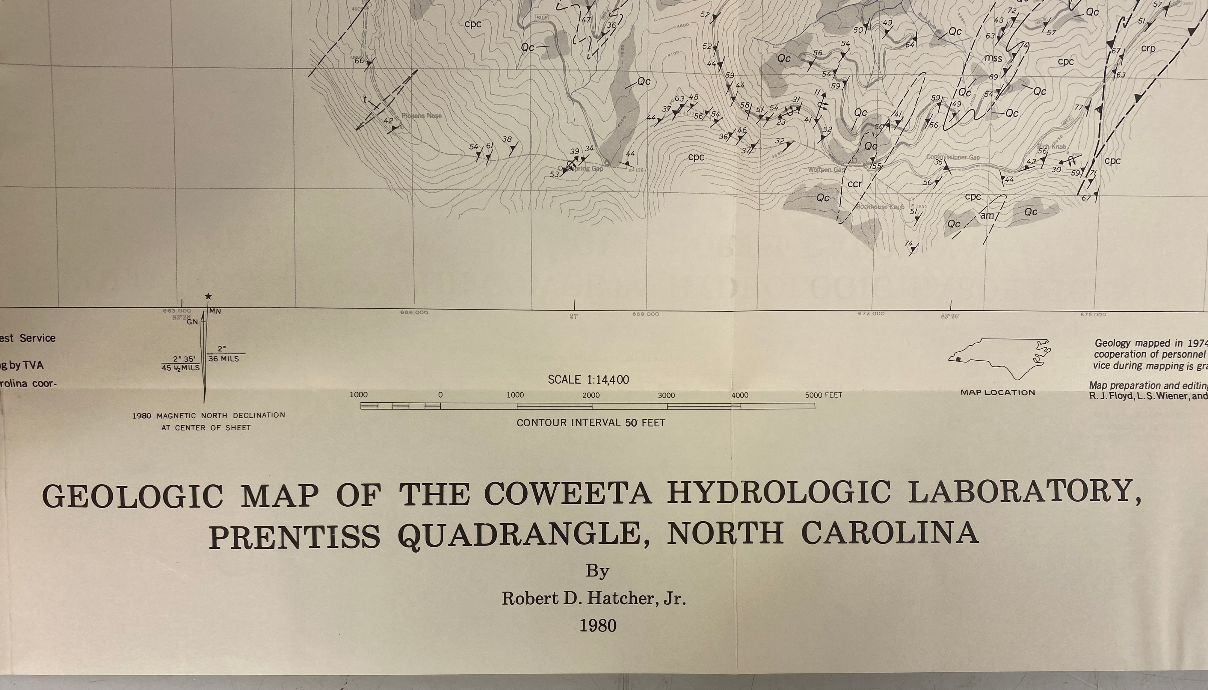
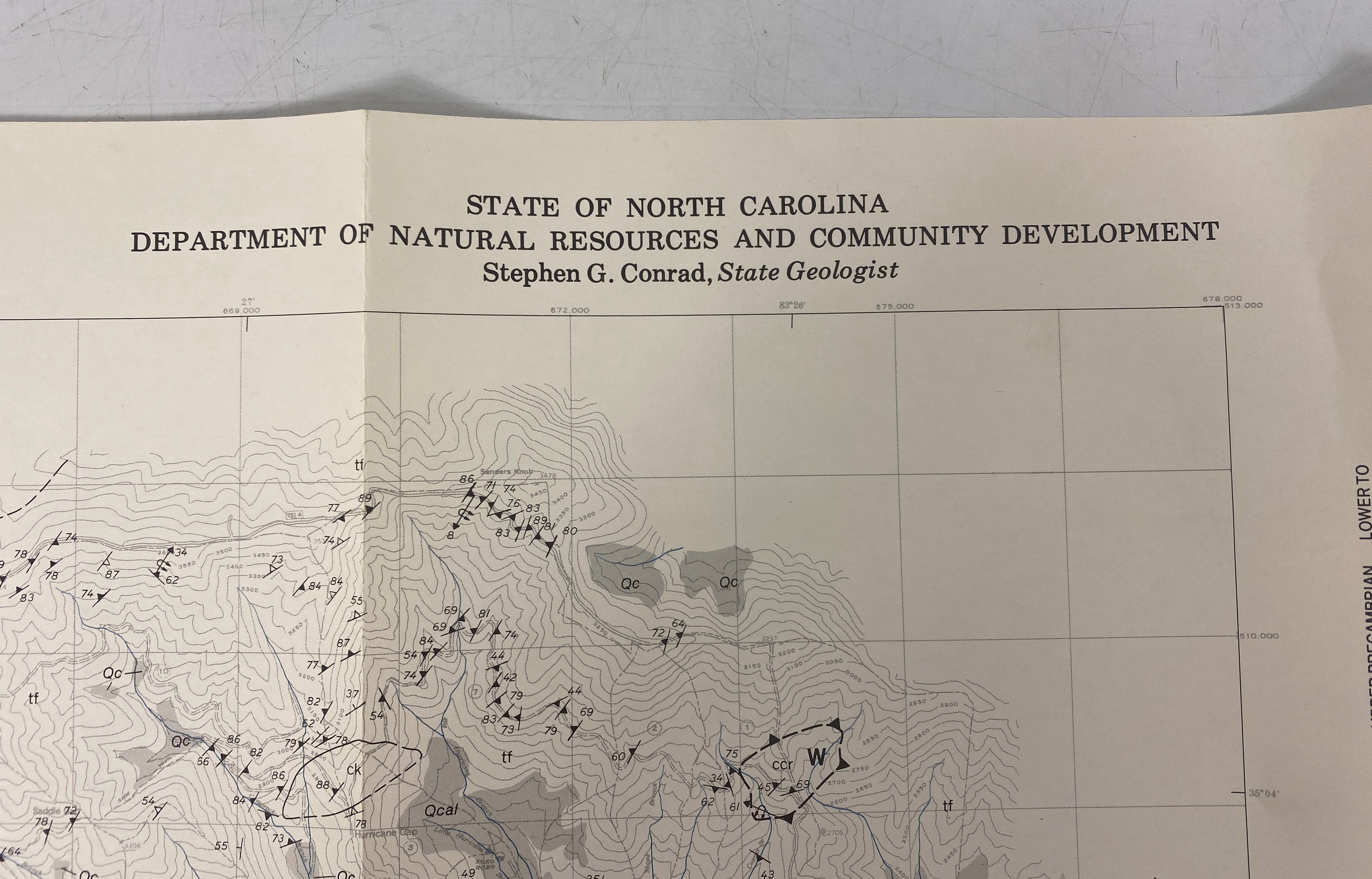
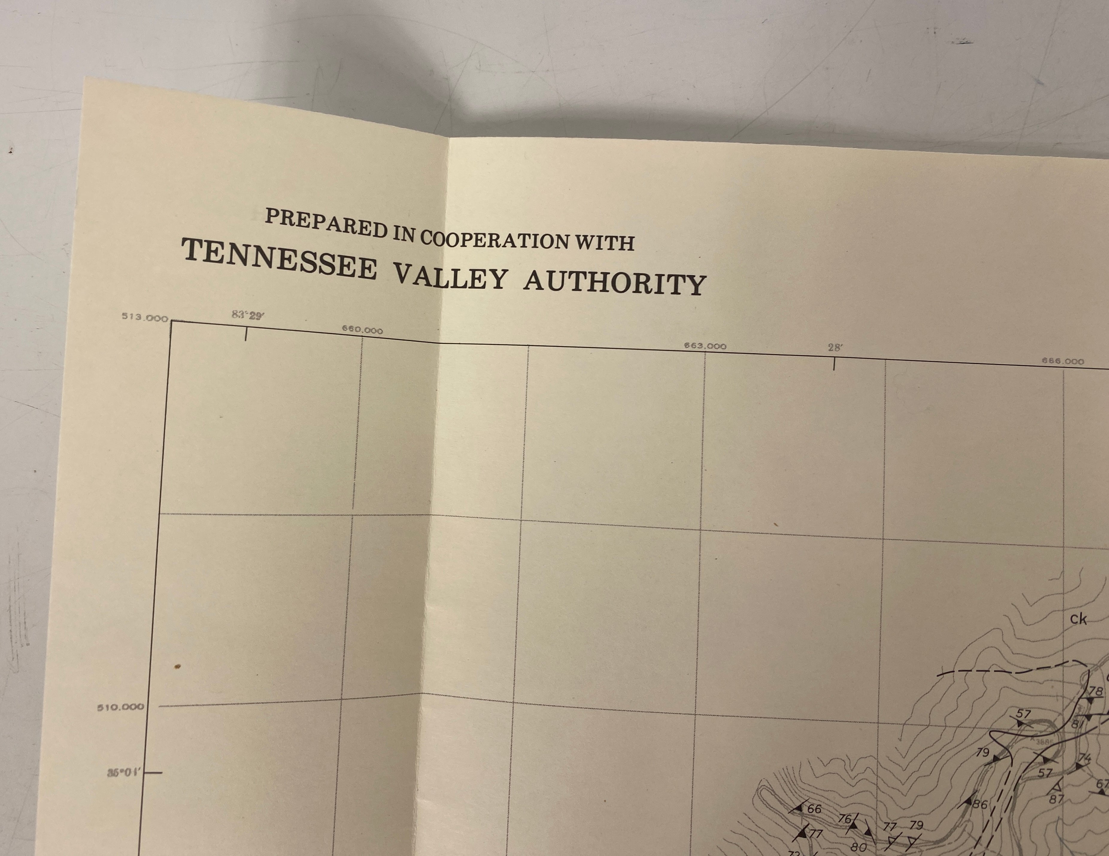
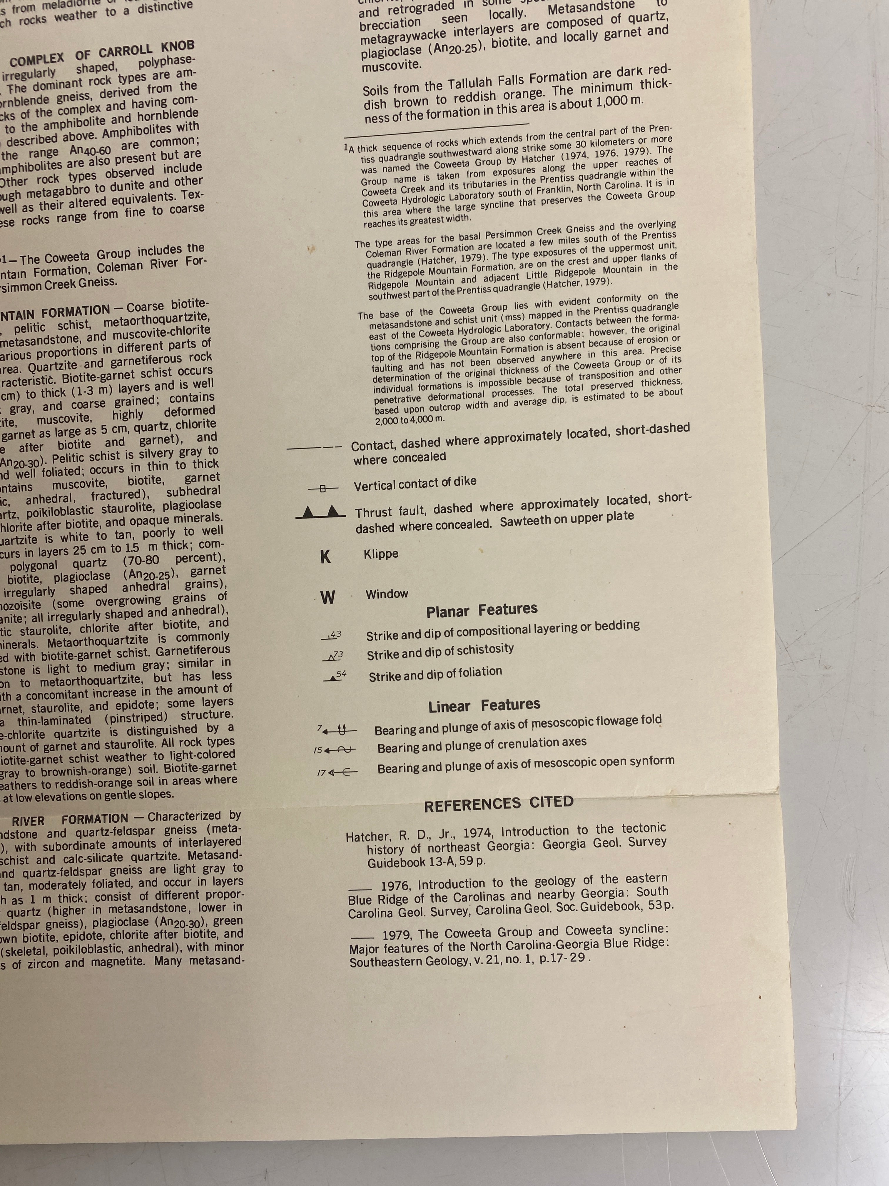
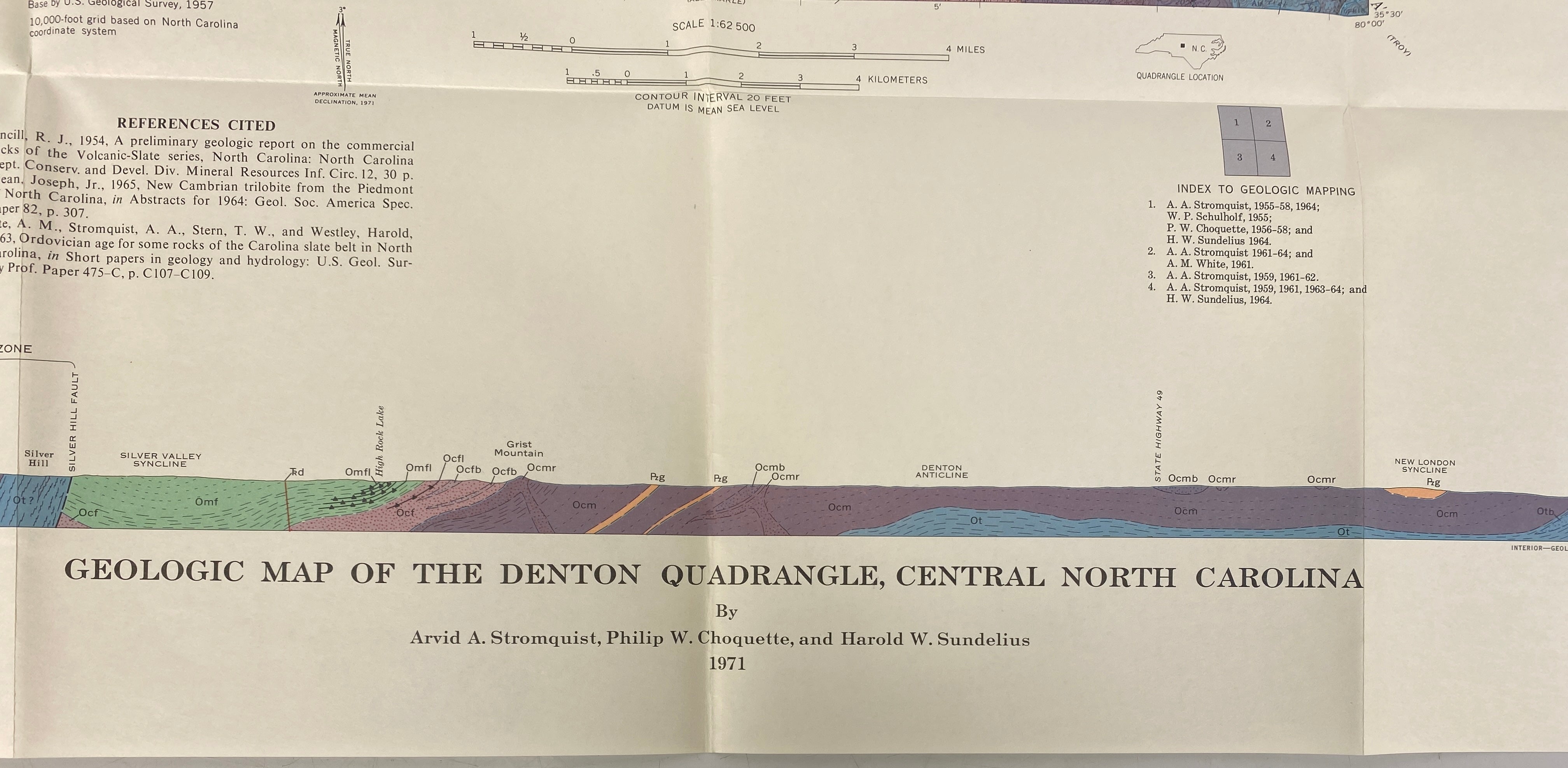
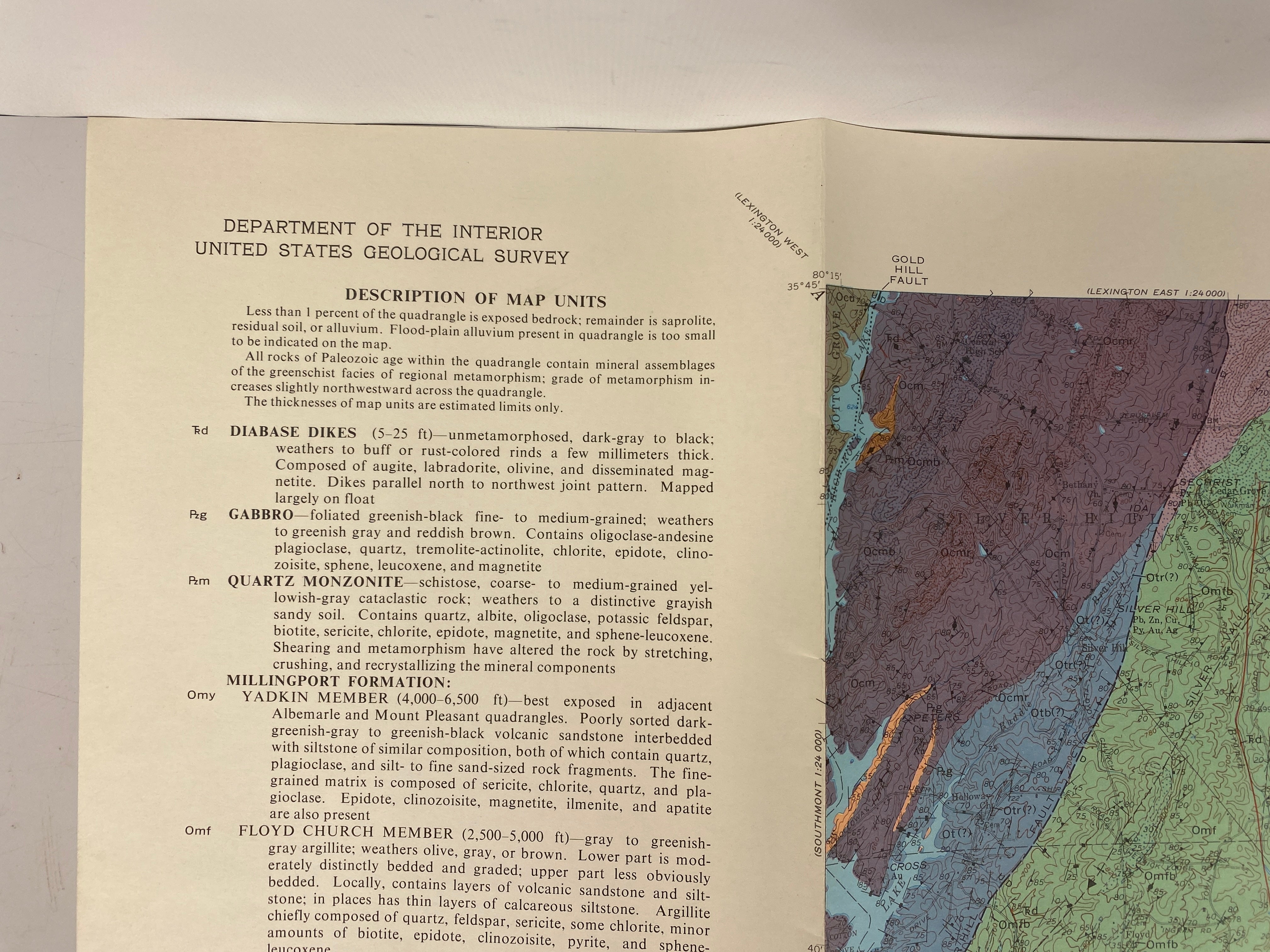
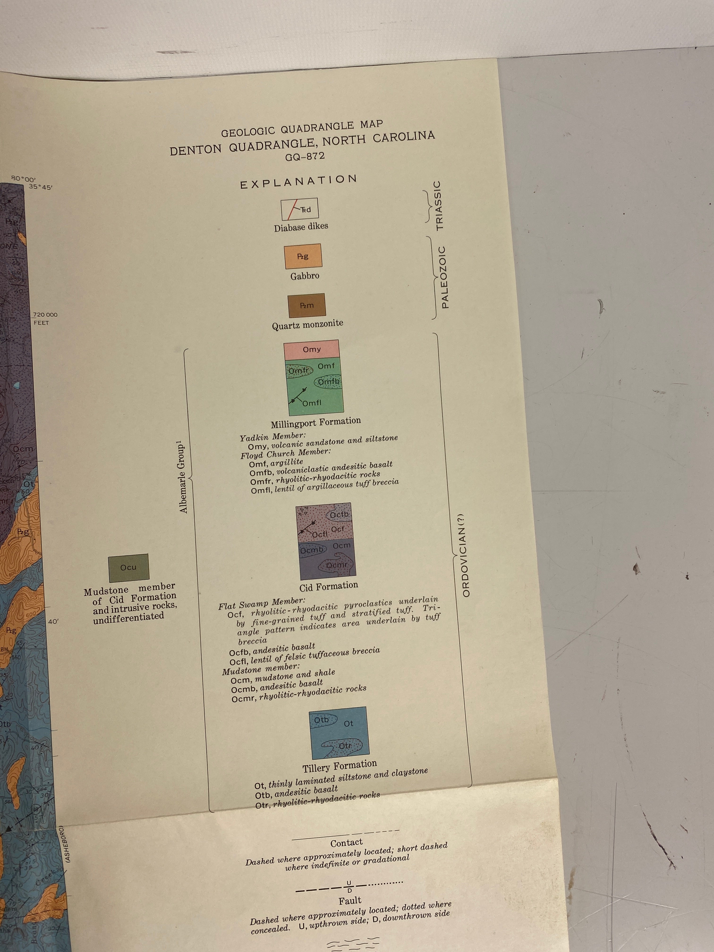
This amazing set includes five vintage North Carolina geological survey wall maps from 1971 to 1992. Titles are diverse, like the Geological Map of Prentiss Quadrangle, Denton Quadrangle, and Southwestern North Carolina. Authors include Robert D. Hatcher, Arvid A. Stromquist, and Leonard S. Wiener. Publishers are well - known institutions such as the Department of Natural Resources and Community Development and the United States Geological Survey. Copyrights range from 1971 to 1992. Sizes vary: 32″x31″, 26″x24″, 27″x26.5″, 33″x28″, and 35″x23.5″. Maps are in great condition, with bright colors, no tearing, minor soiling that doesn't affect readability, easy folding, and no writing on them.
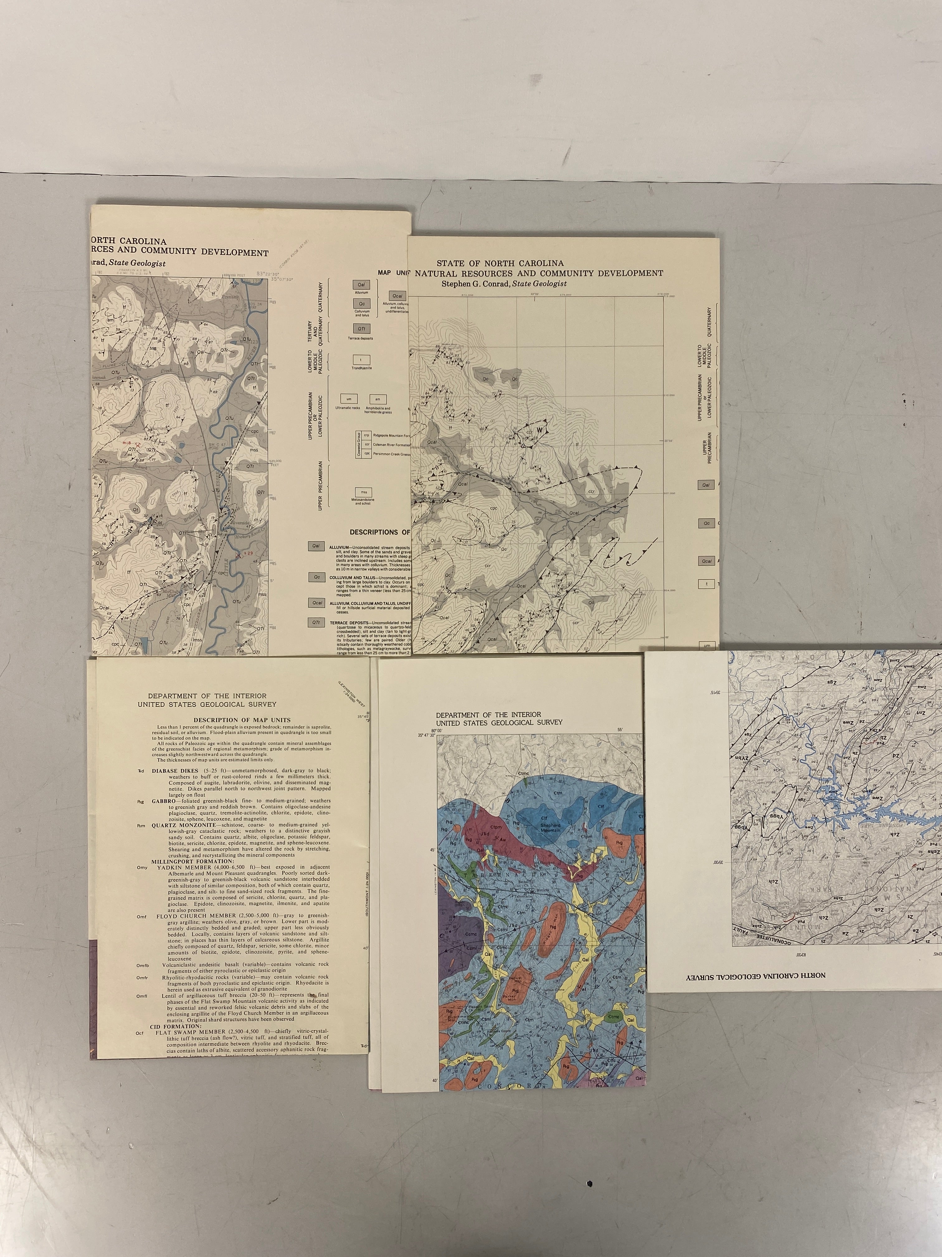
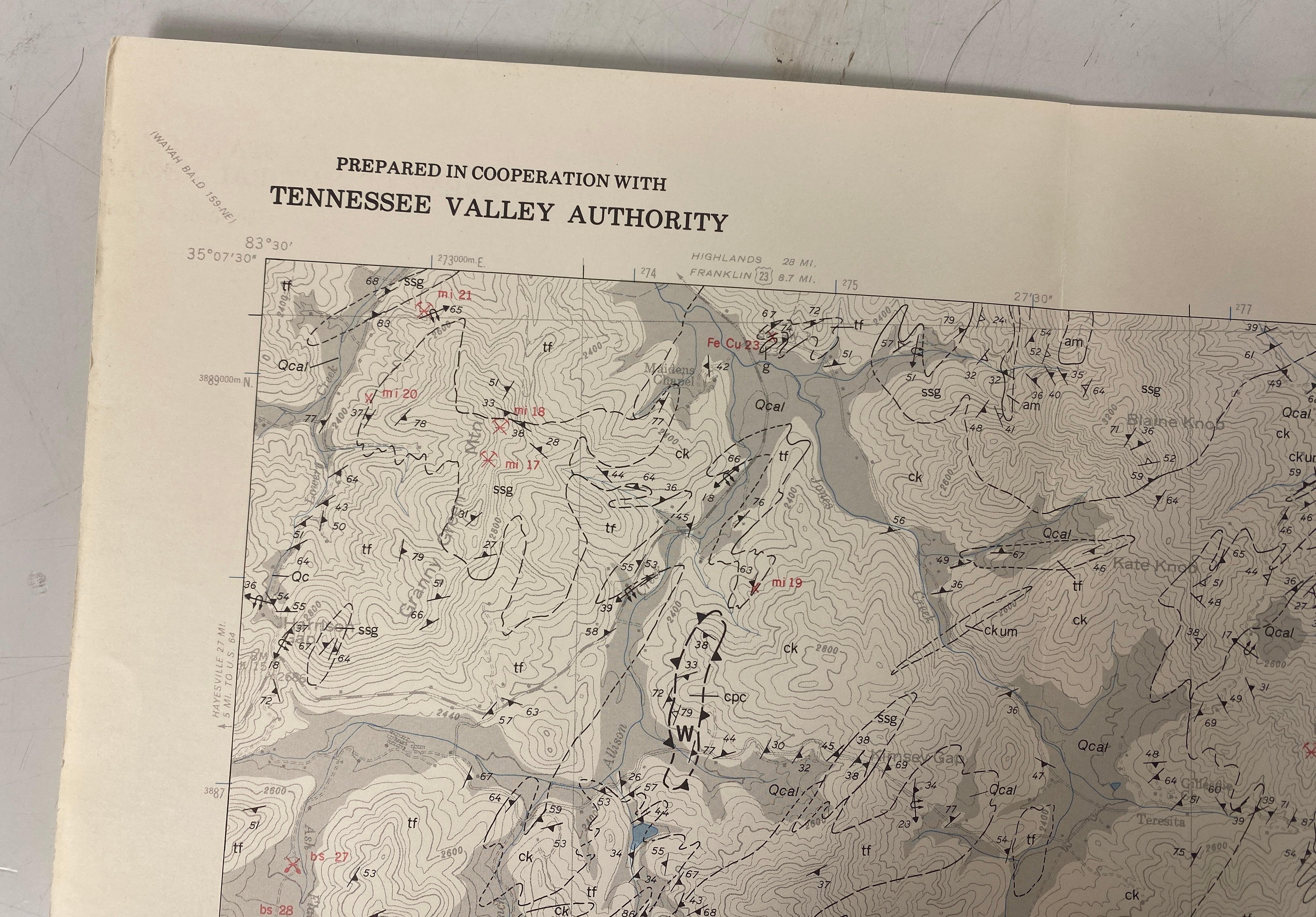
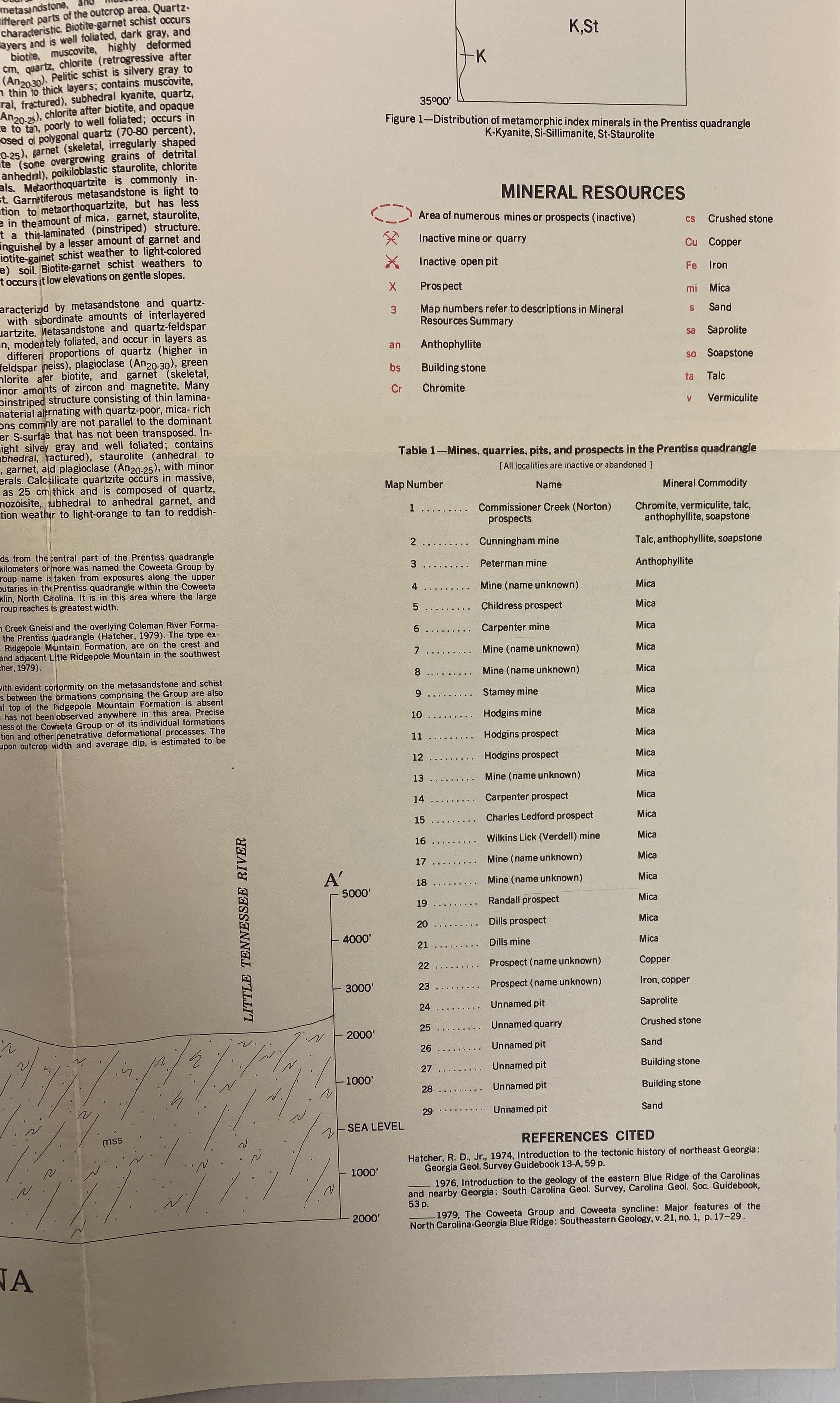
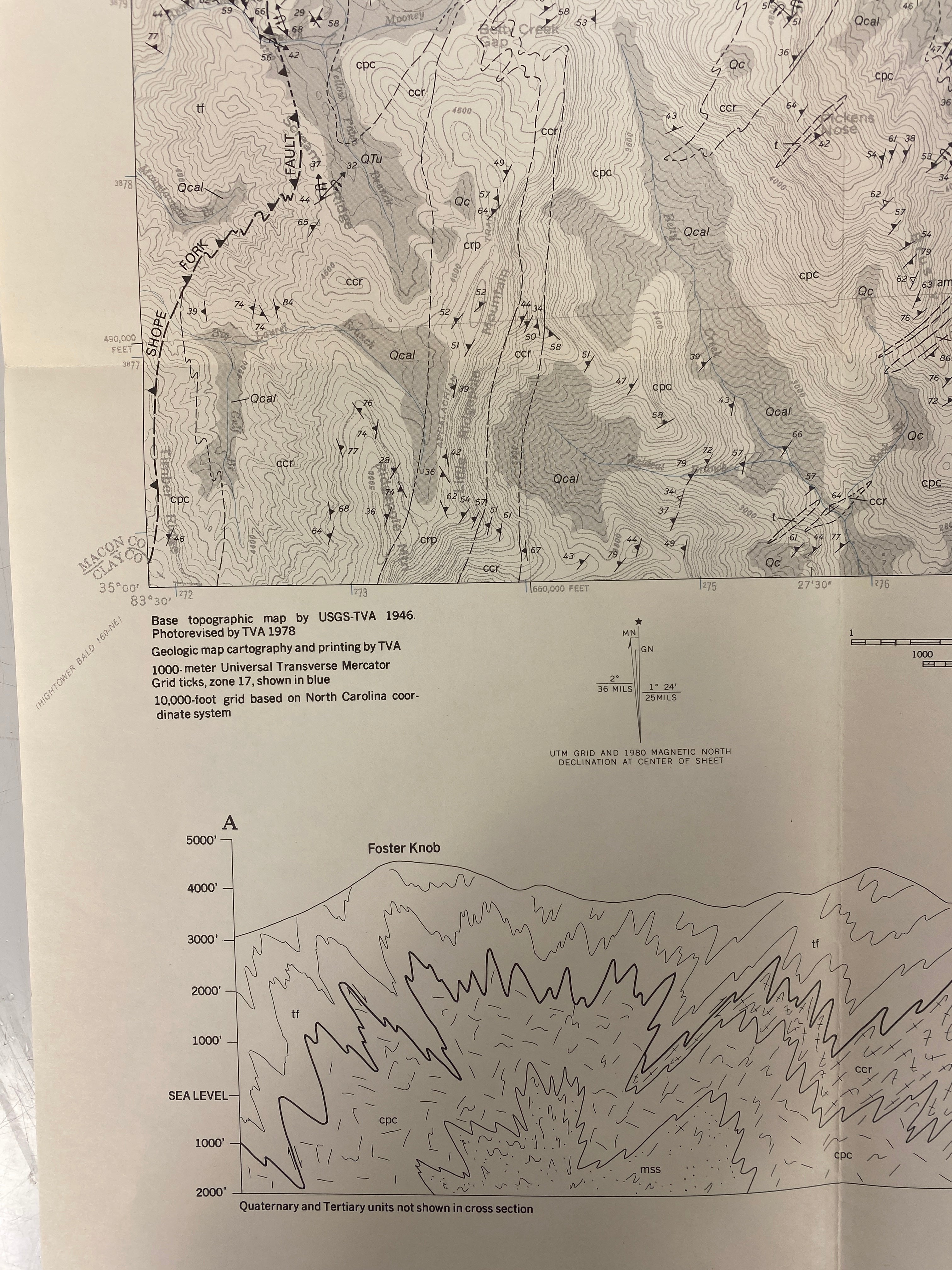
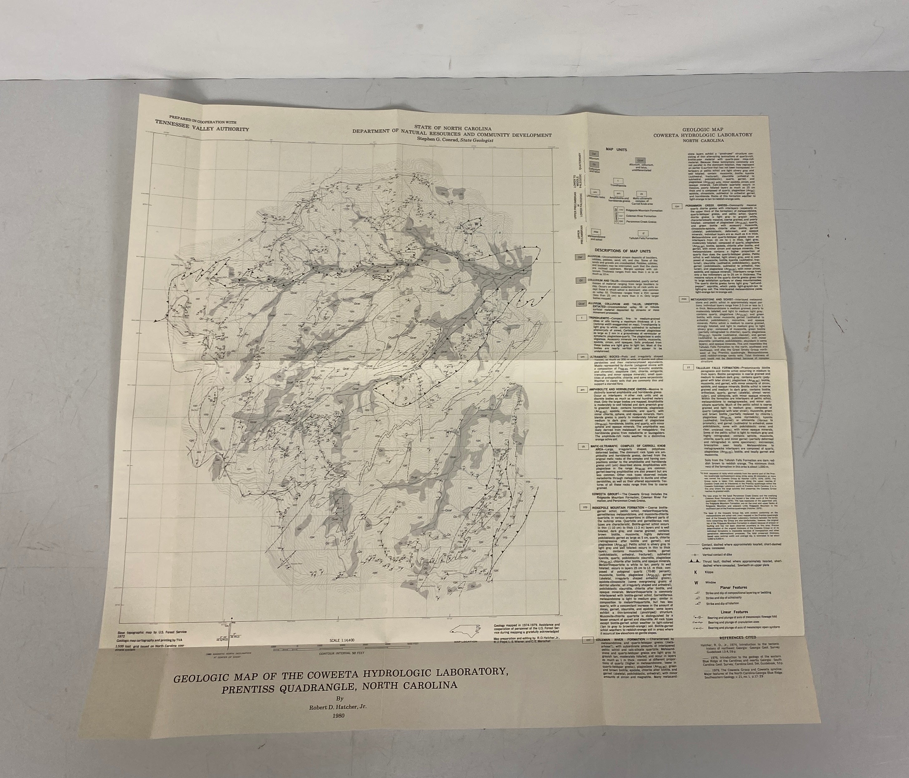
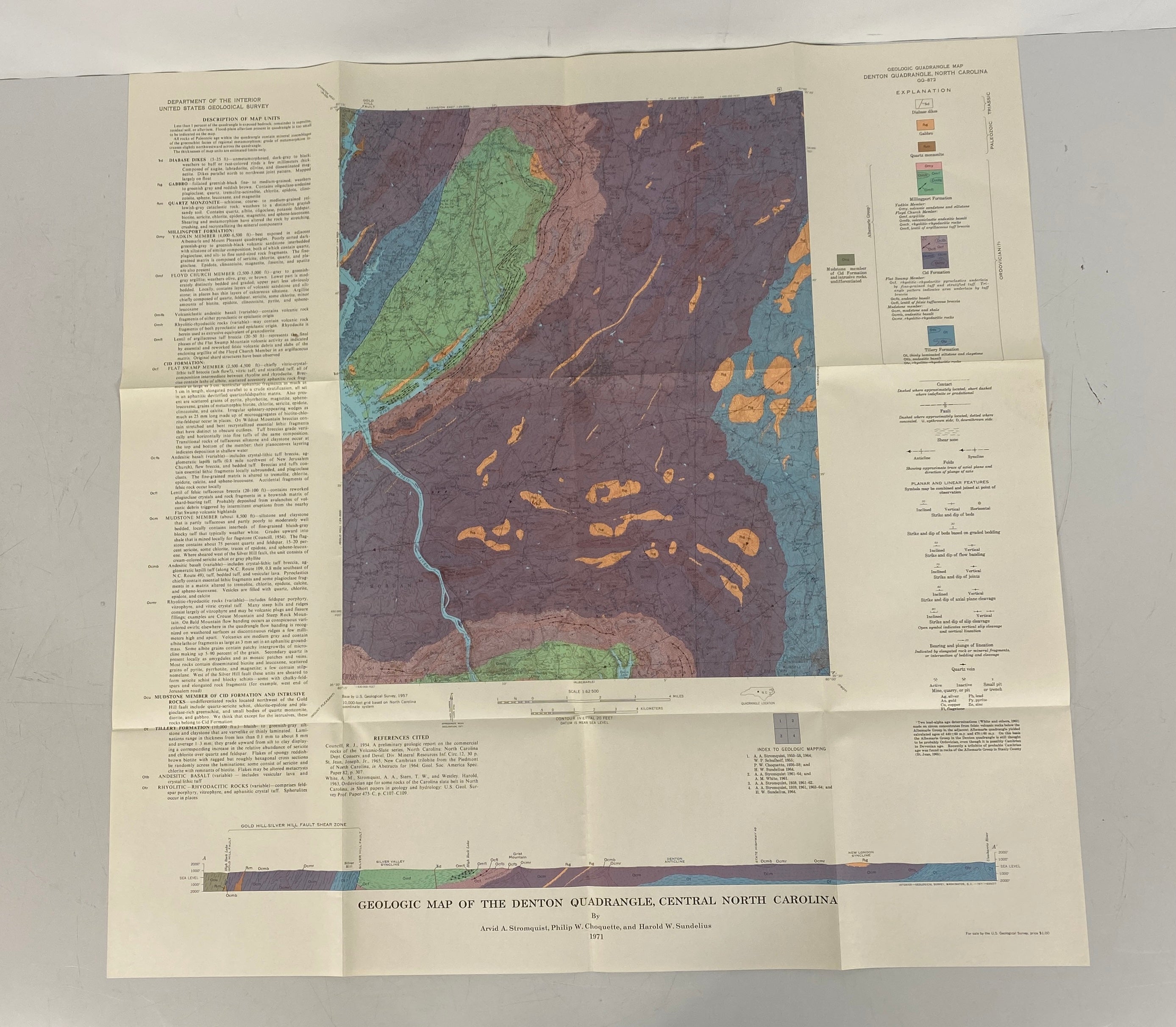
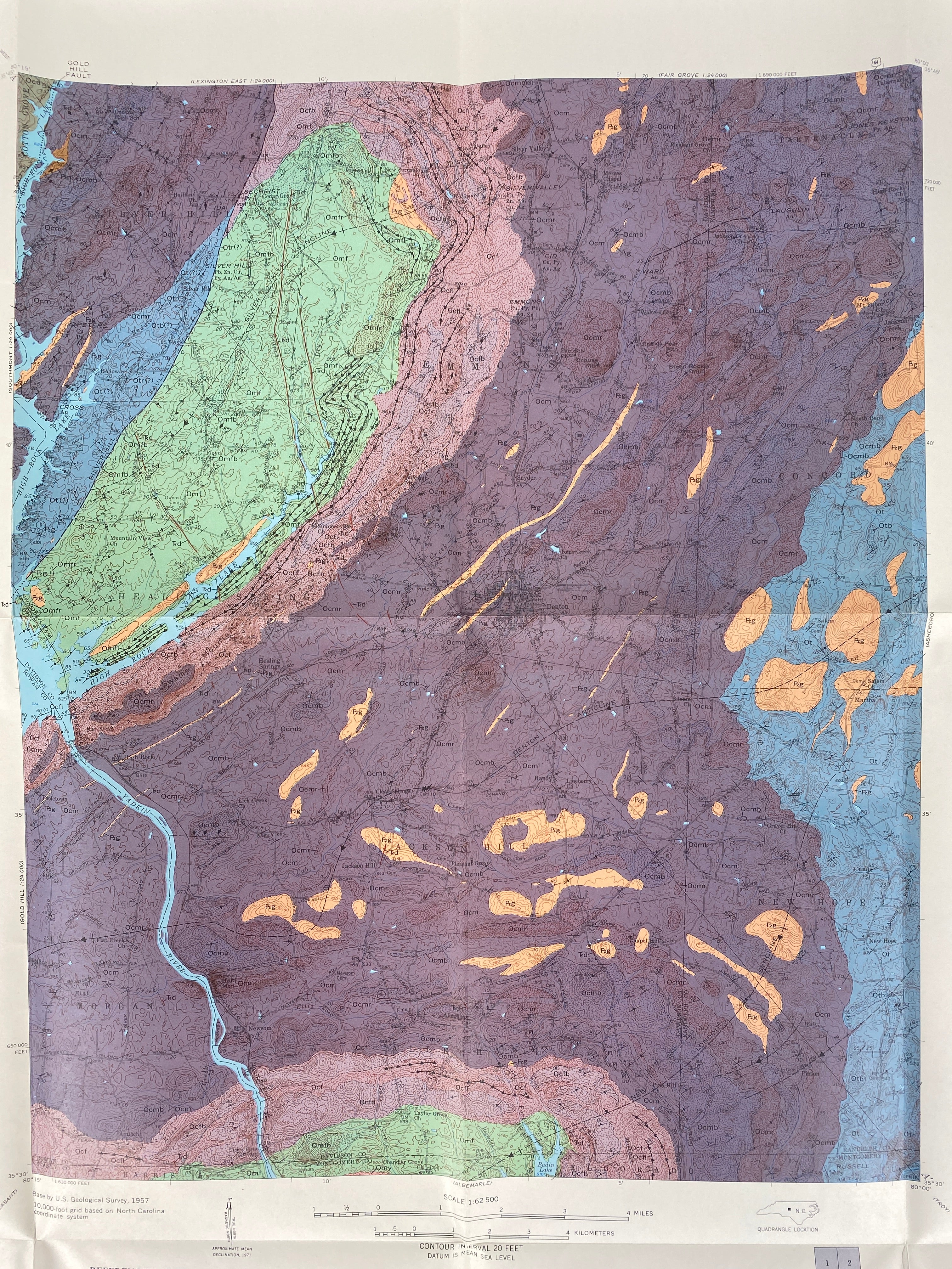
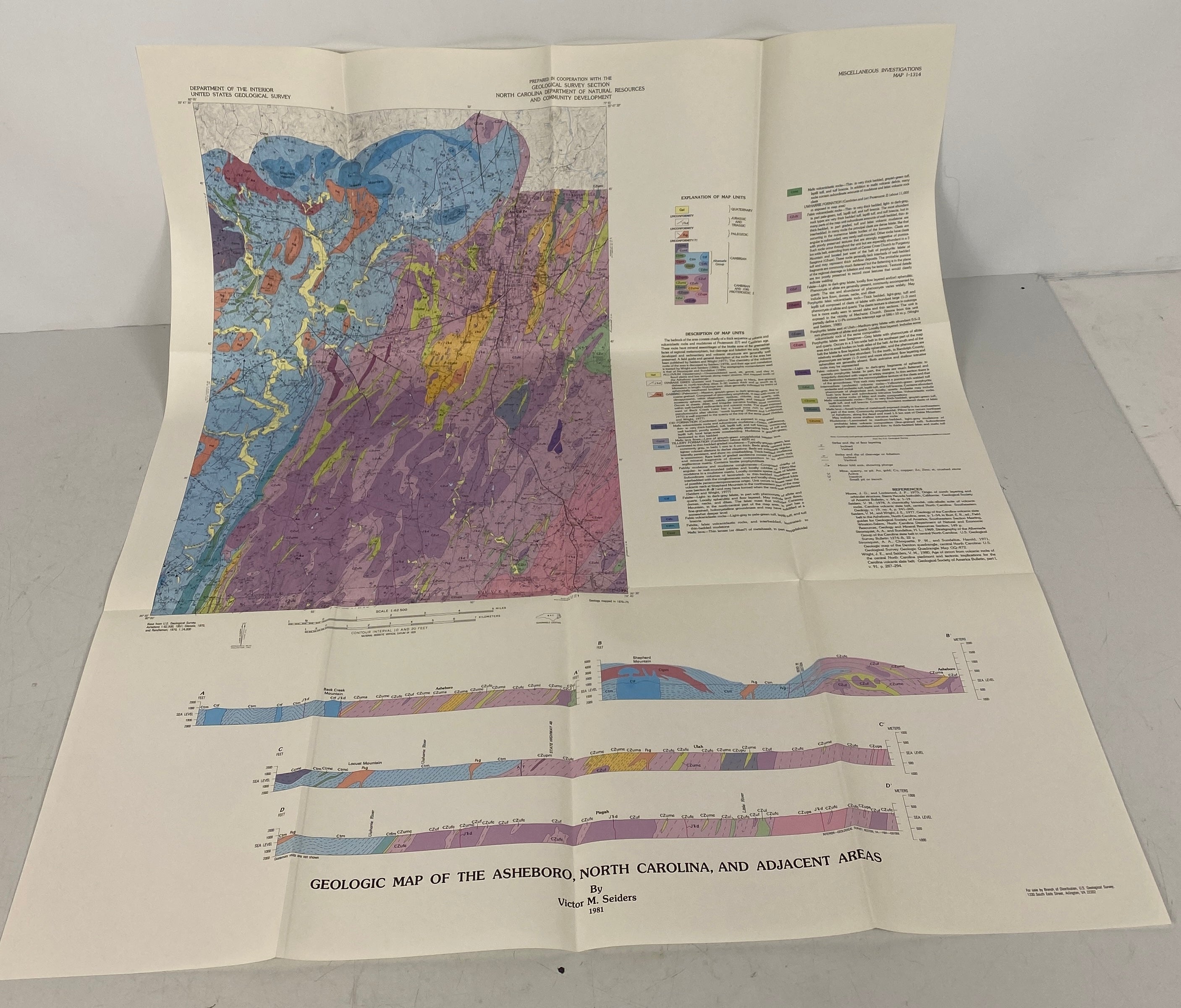
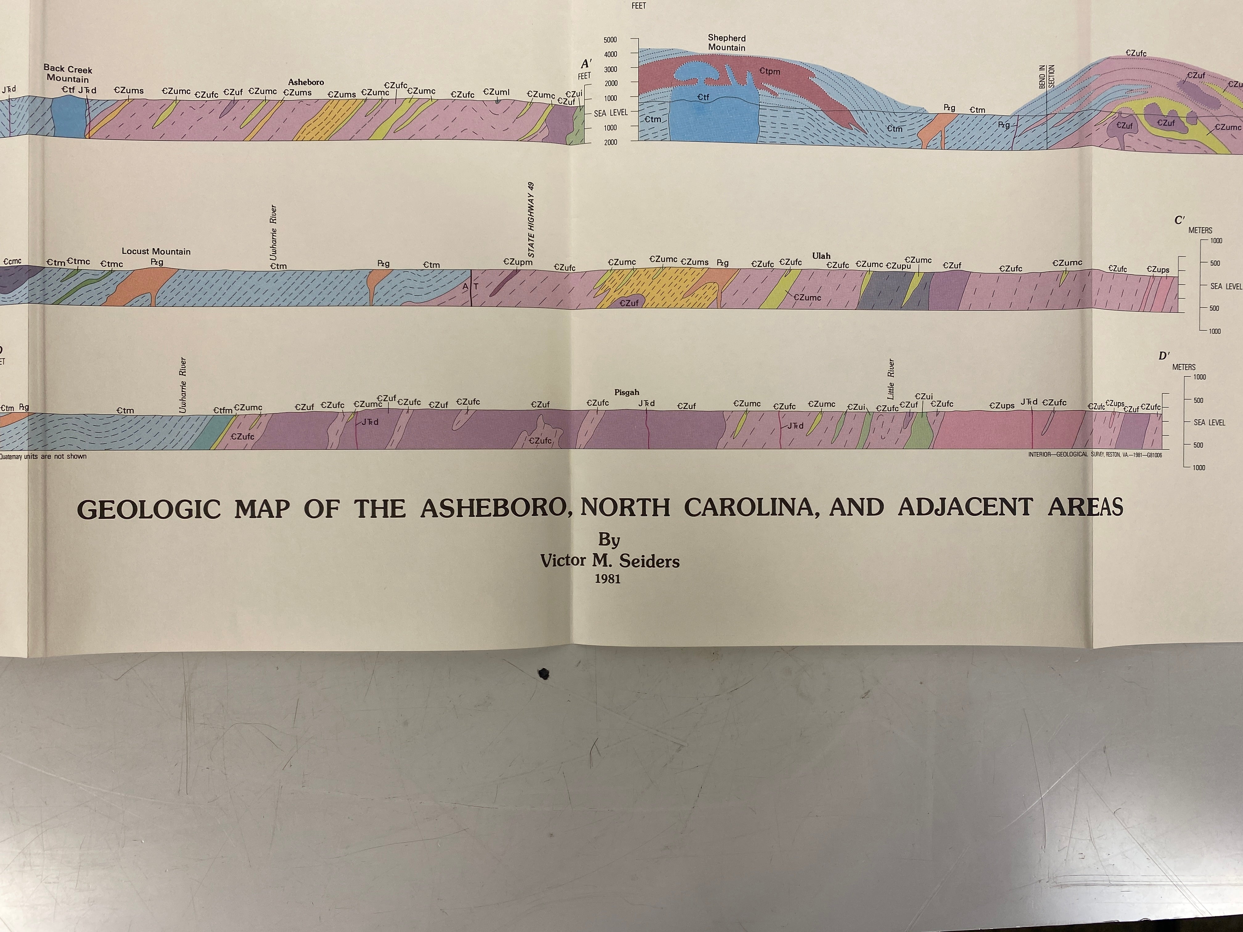
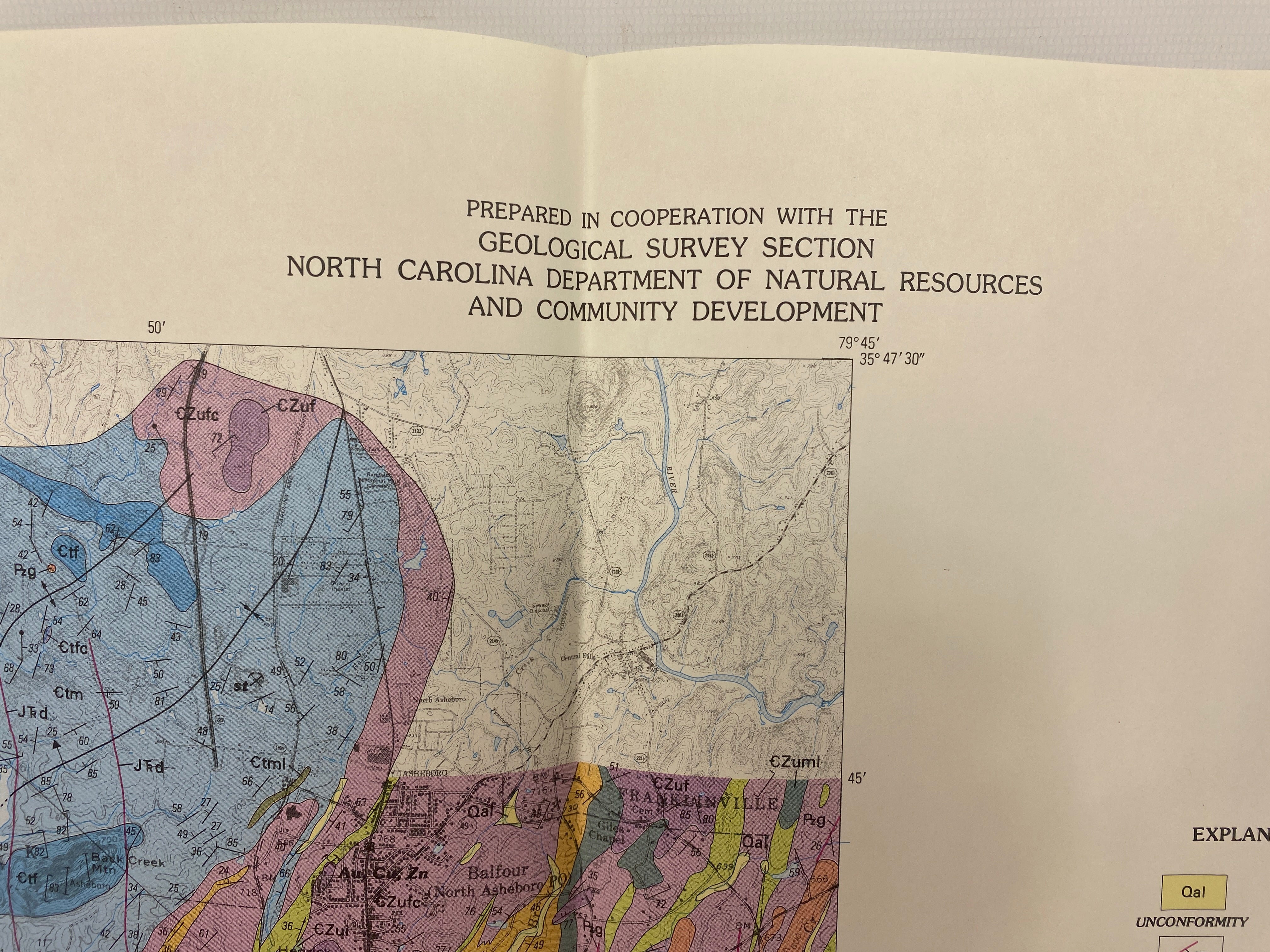
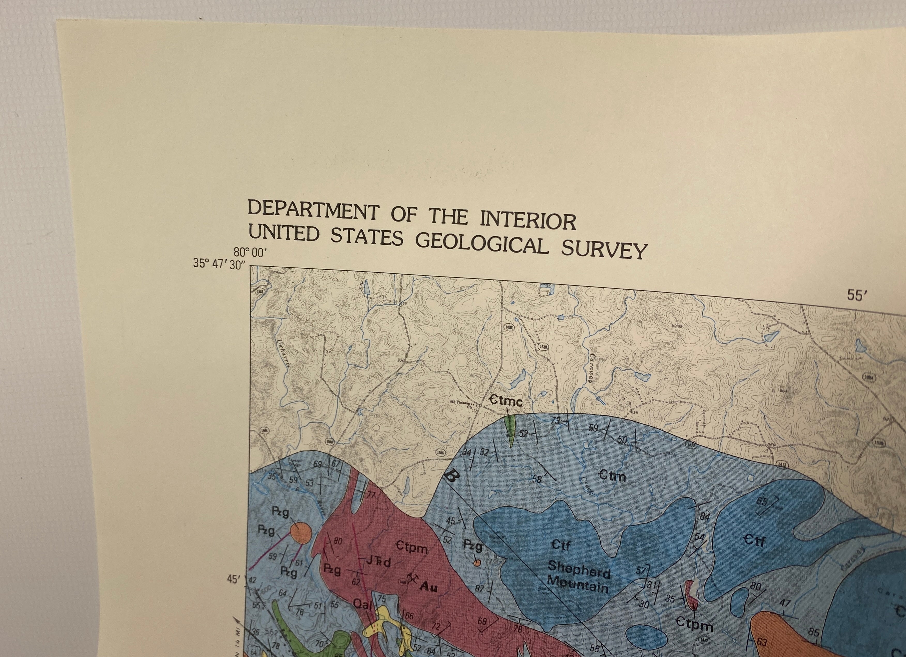
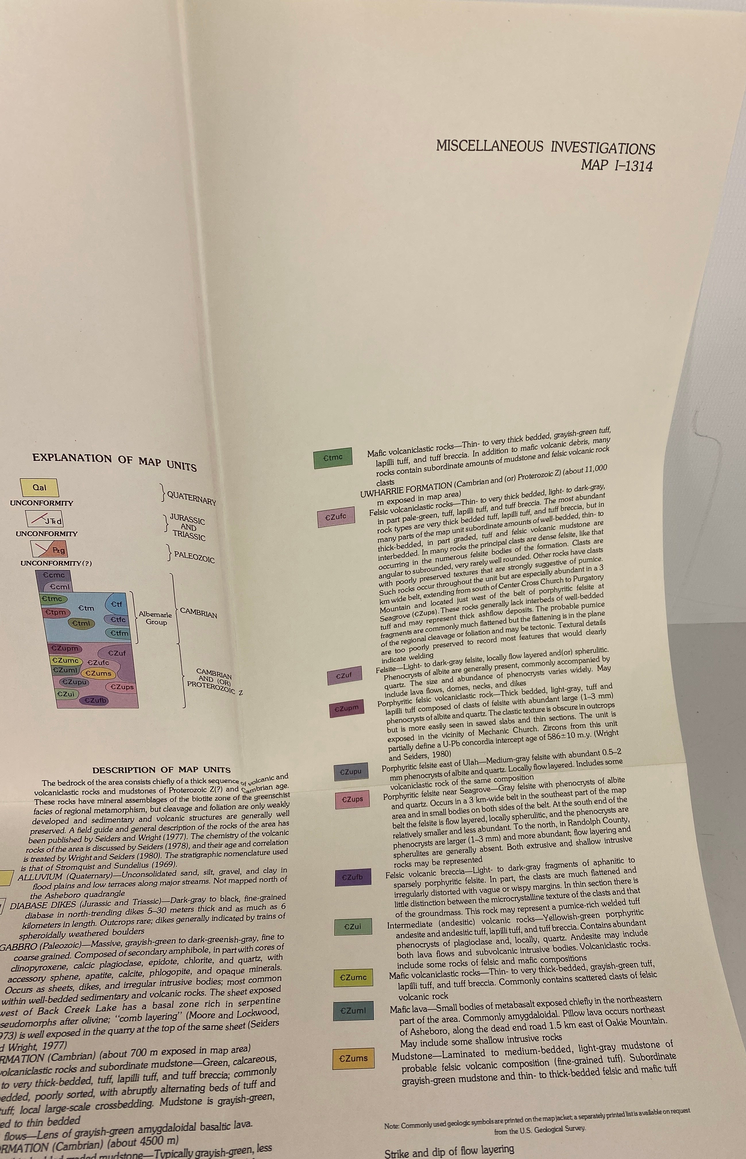
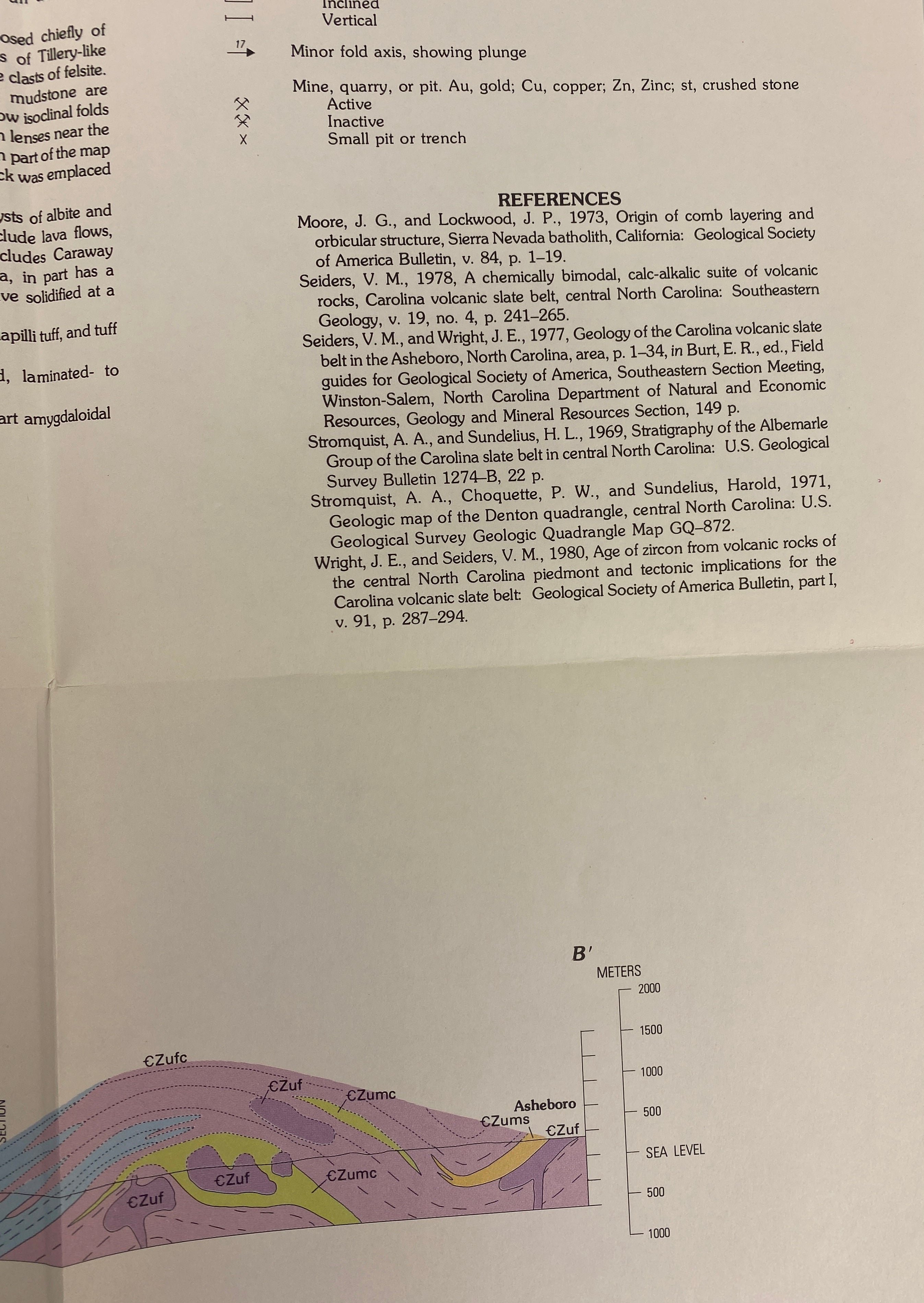
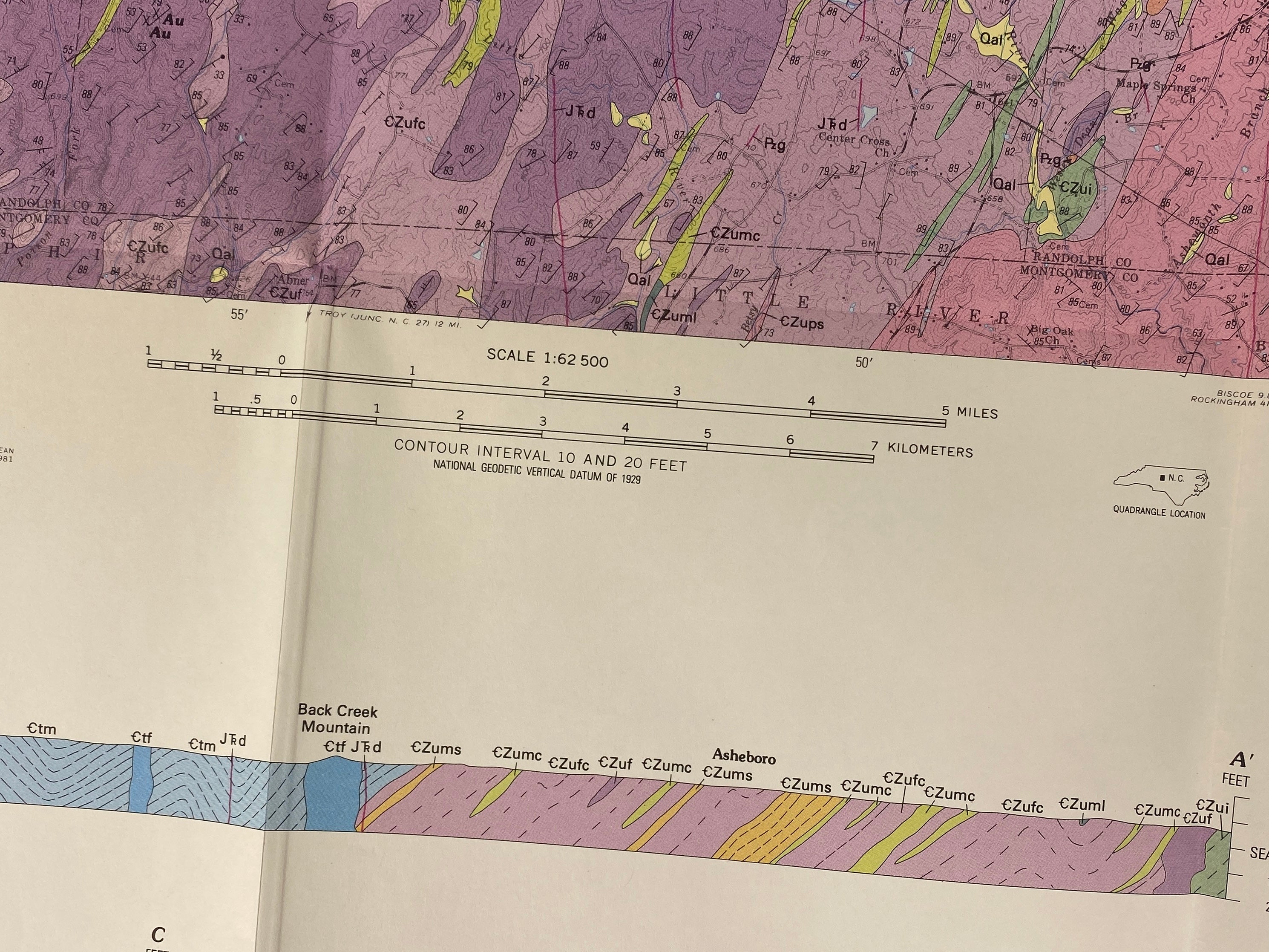
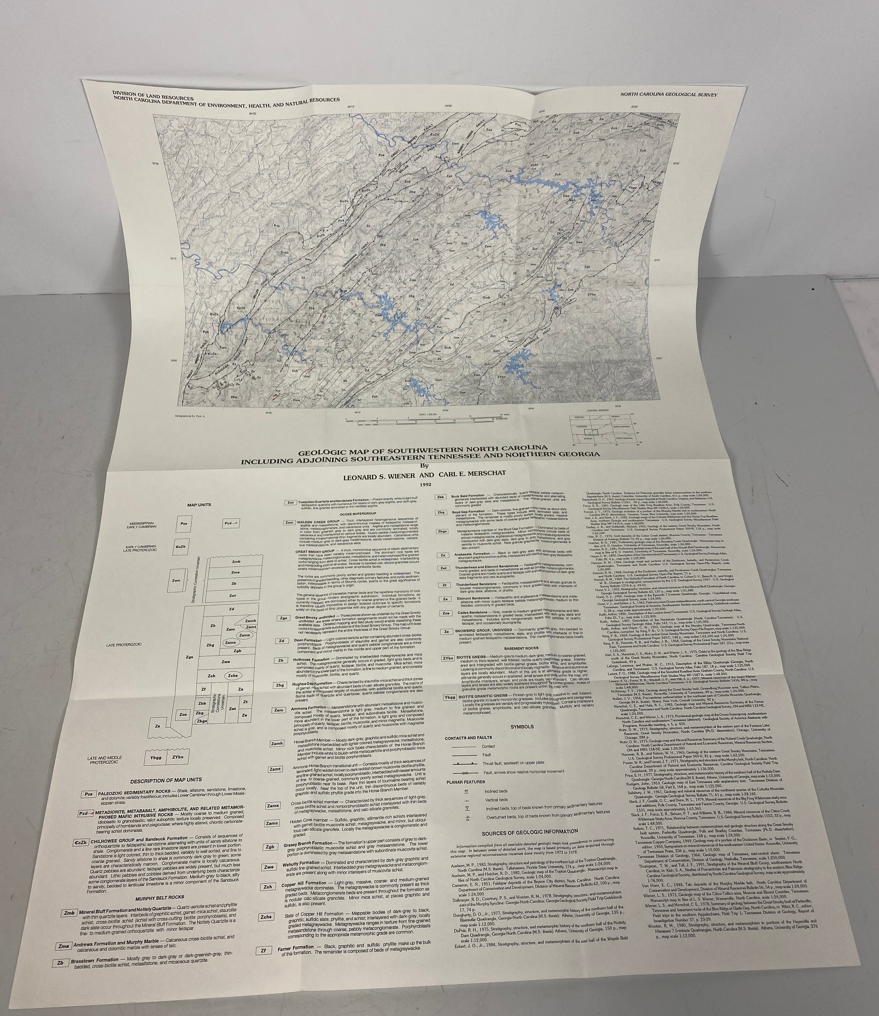
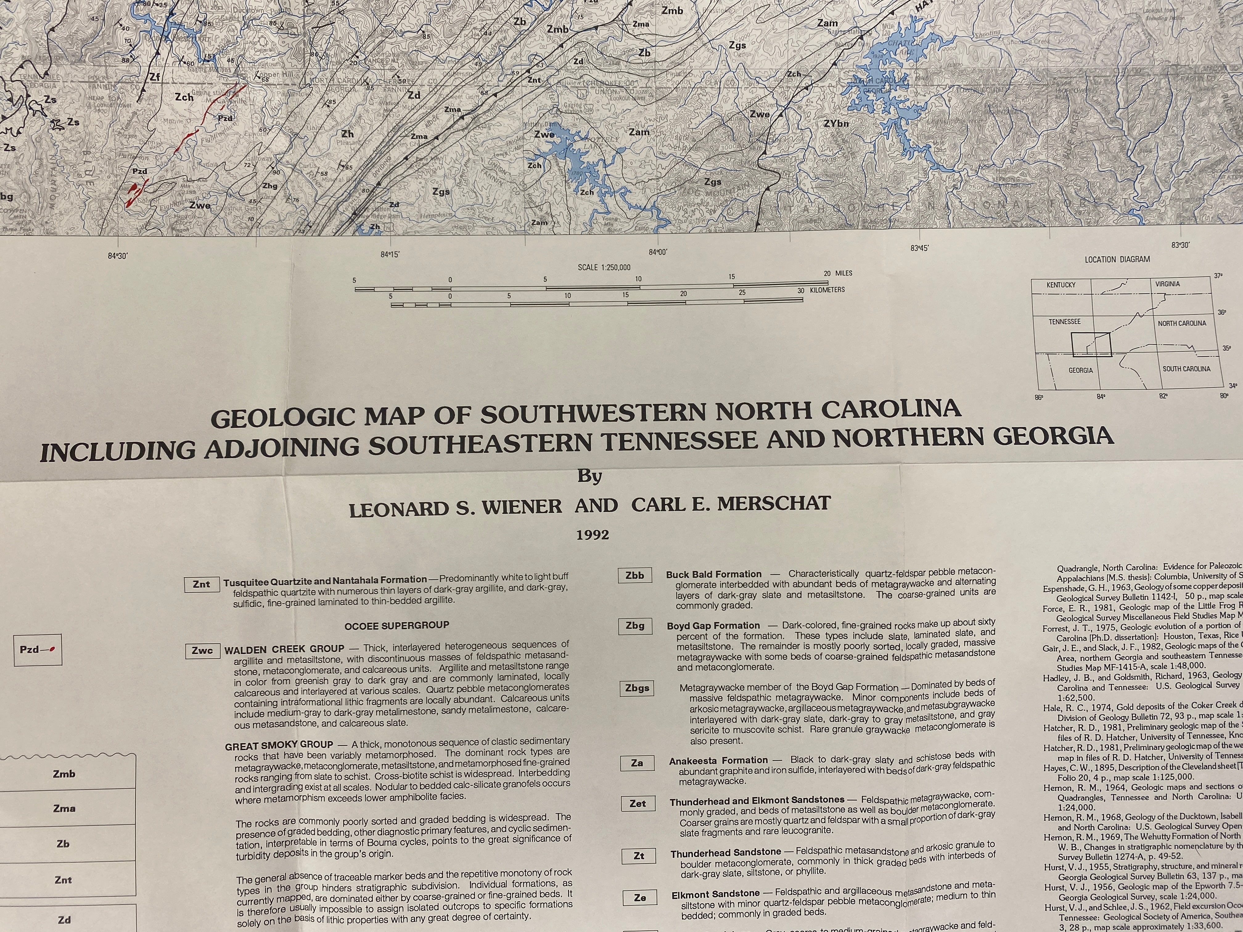
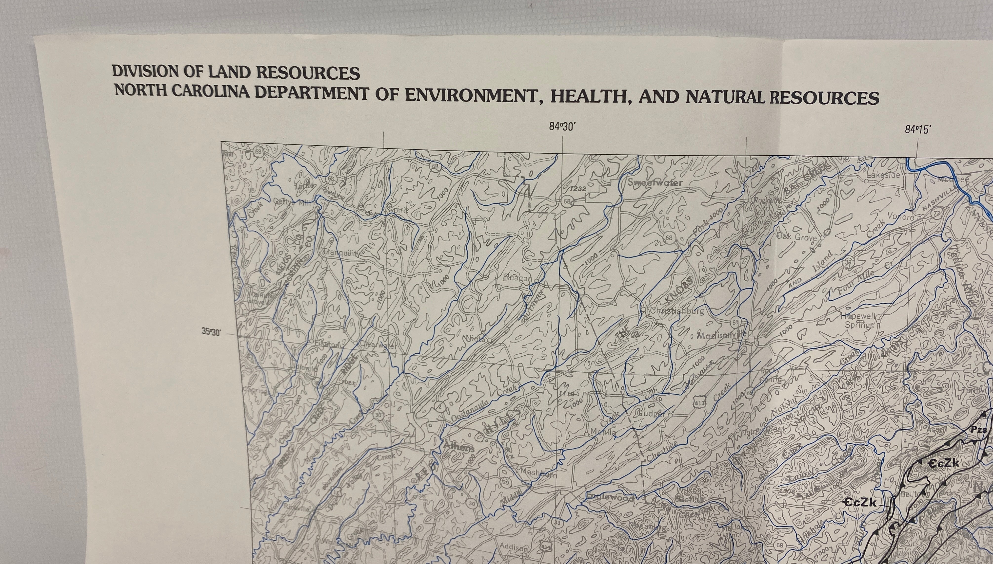
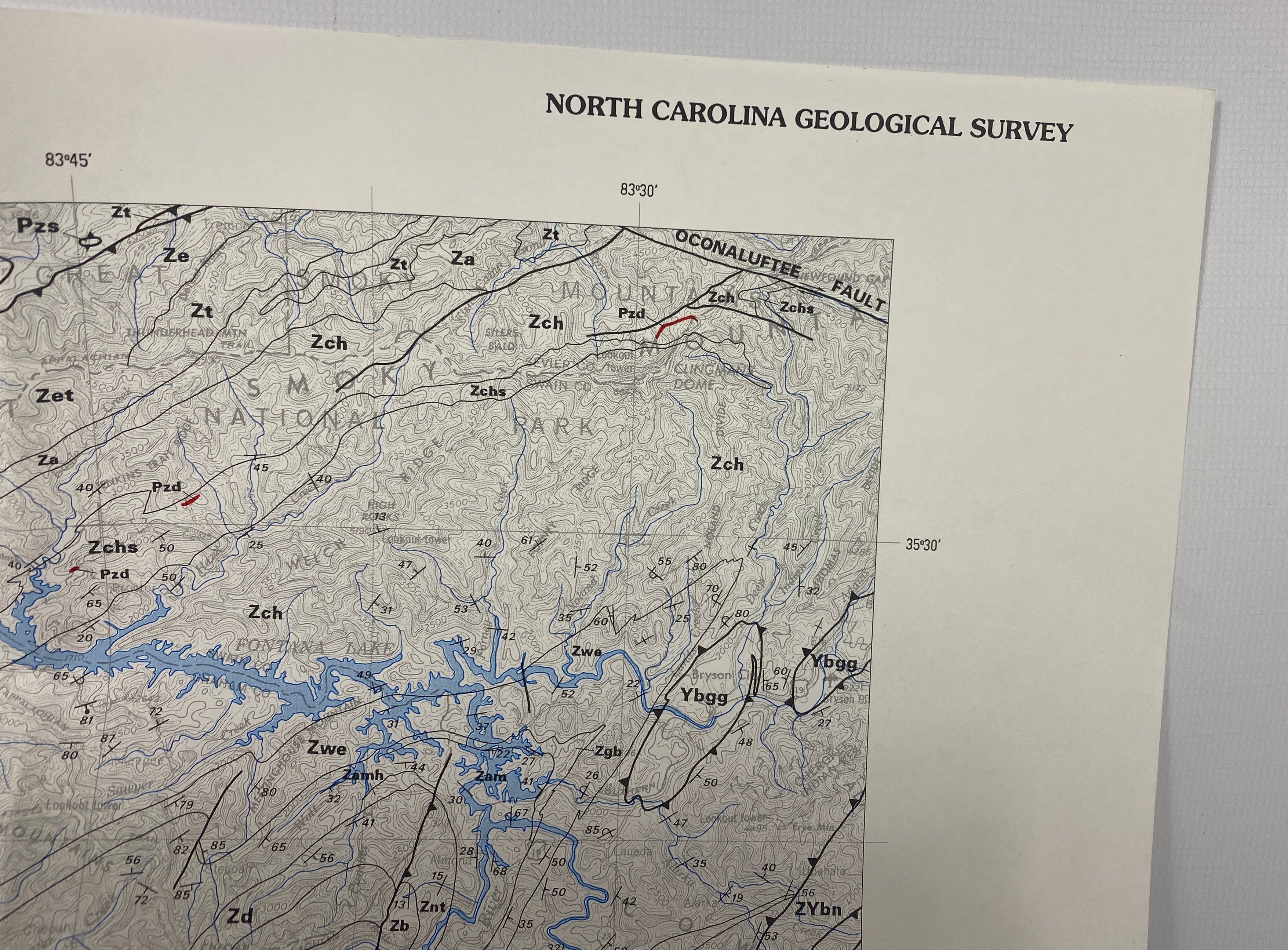
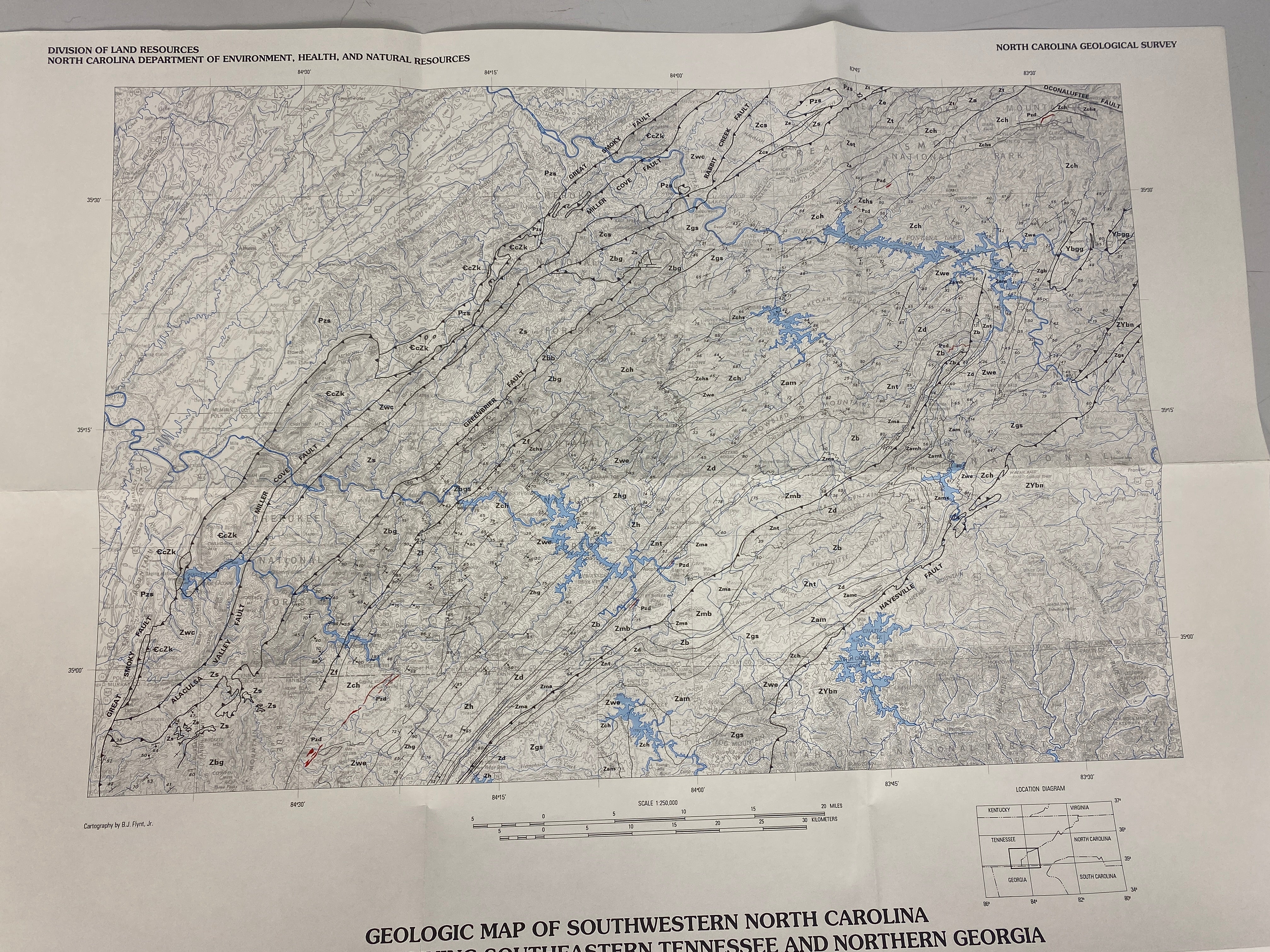
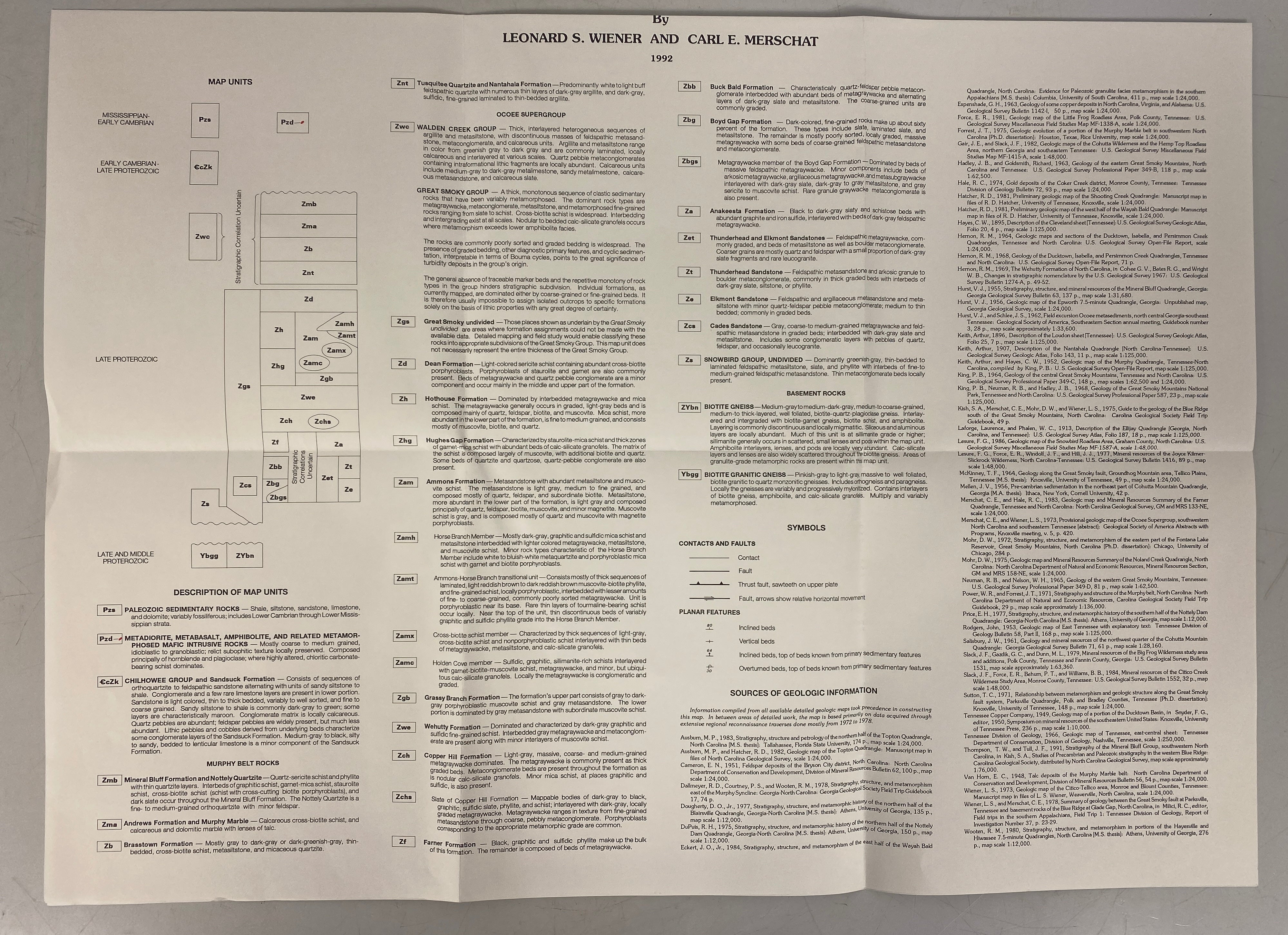
These vintage North Carolina geological survey wall maps are perfect for decoration or educational purposes. To use them, simply unfold and hang them on a wall. Make sure the surface is clean and flat. When handling the maps, wash your hands to avoid getting dirt on them. If they get a bit dirty, you can gently wipe them with a dry, soft cloth. Don't expose them to direct sunlight for long periods as it may fade the colors. When not in use, fold them carefully and store in a dry place away from humidity to keep them in good condition.