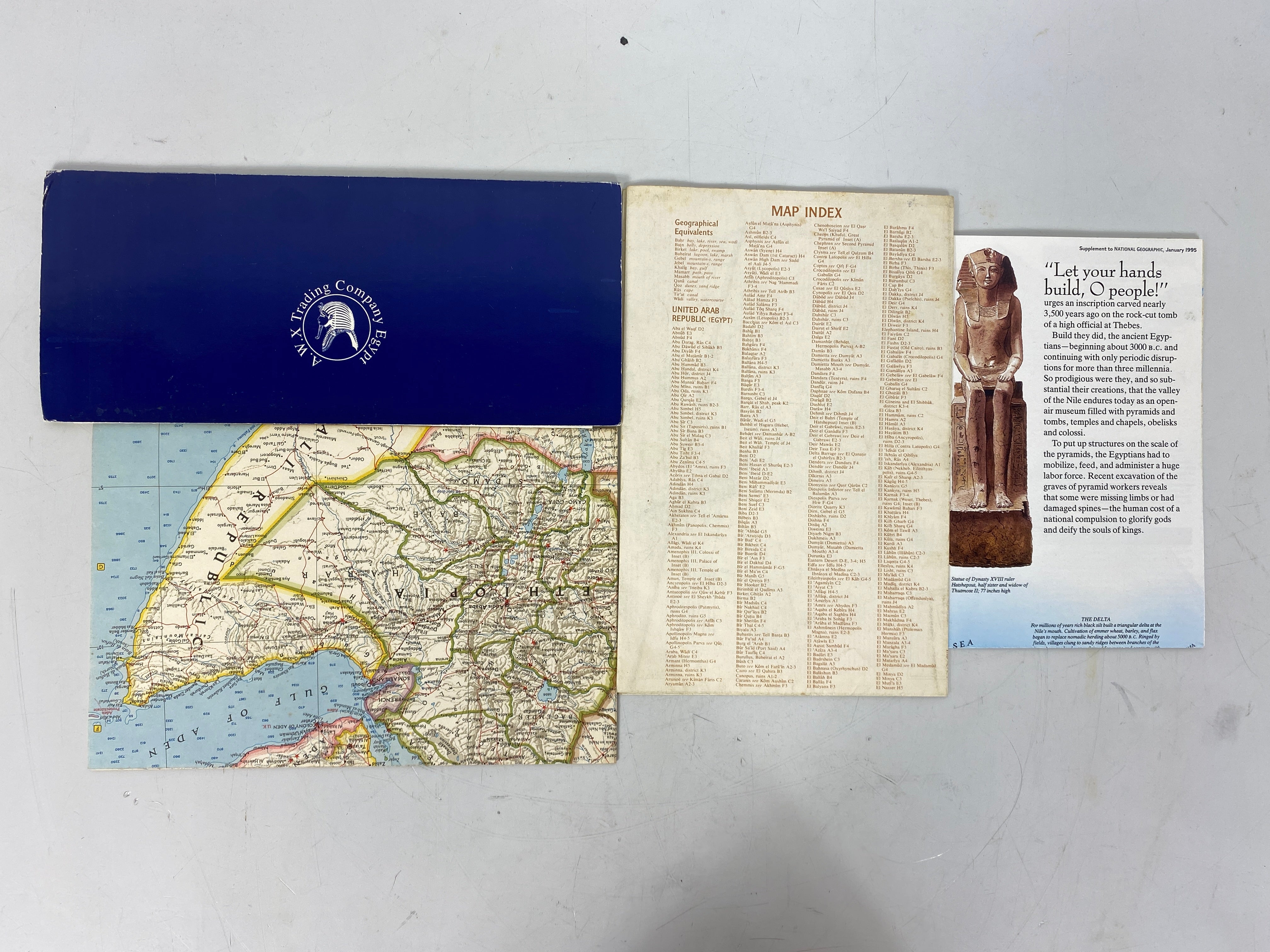
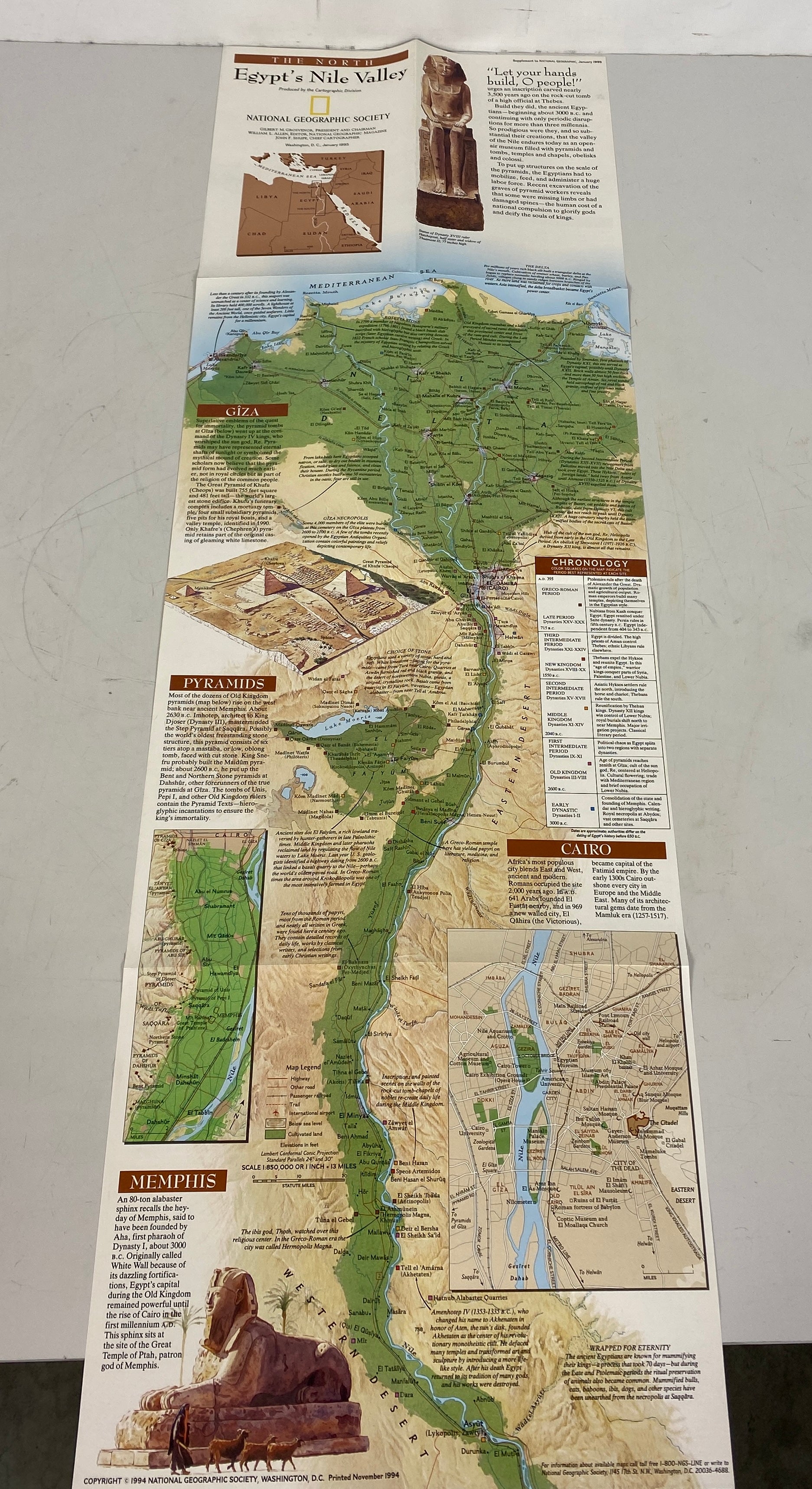
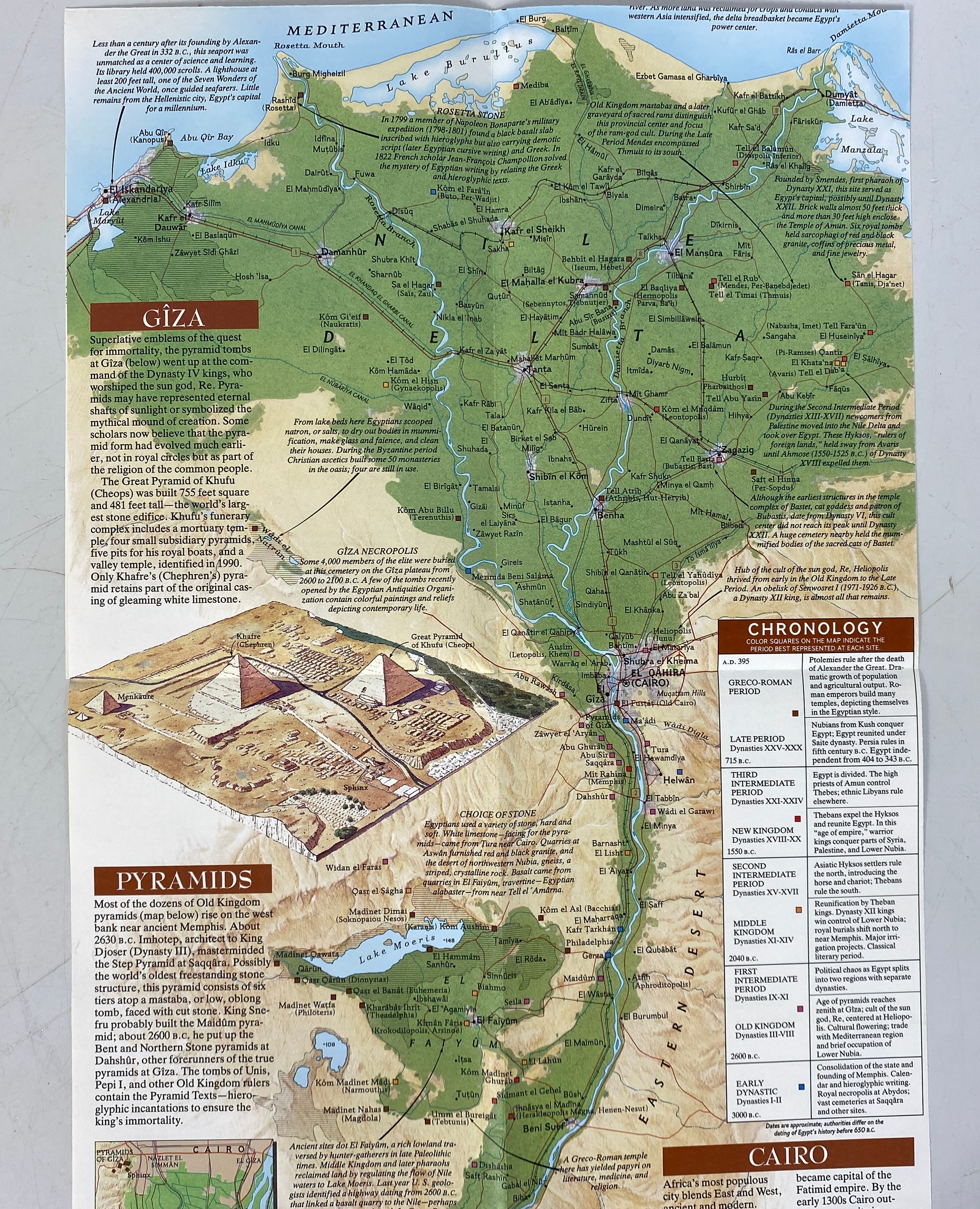
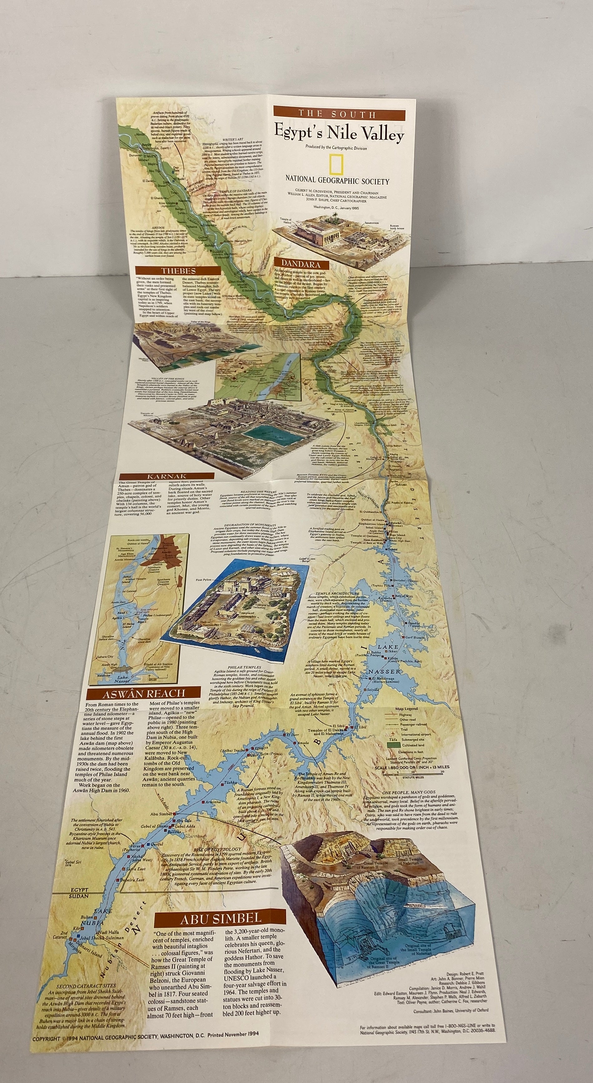
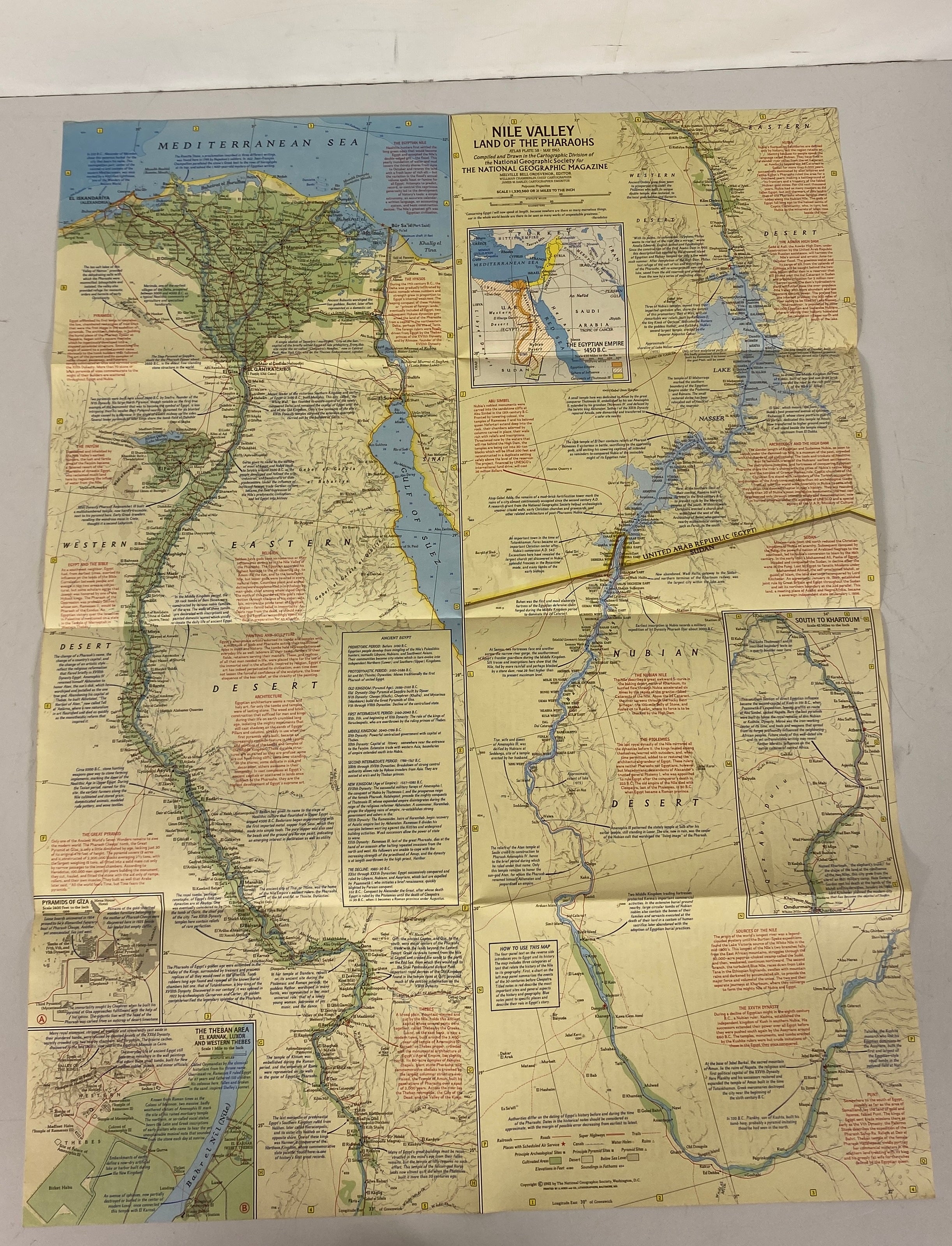
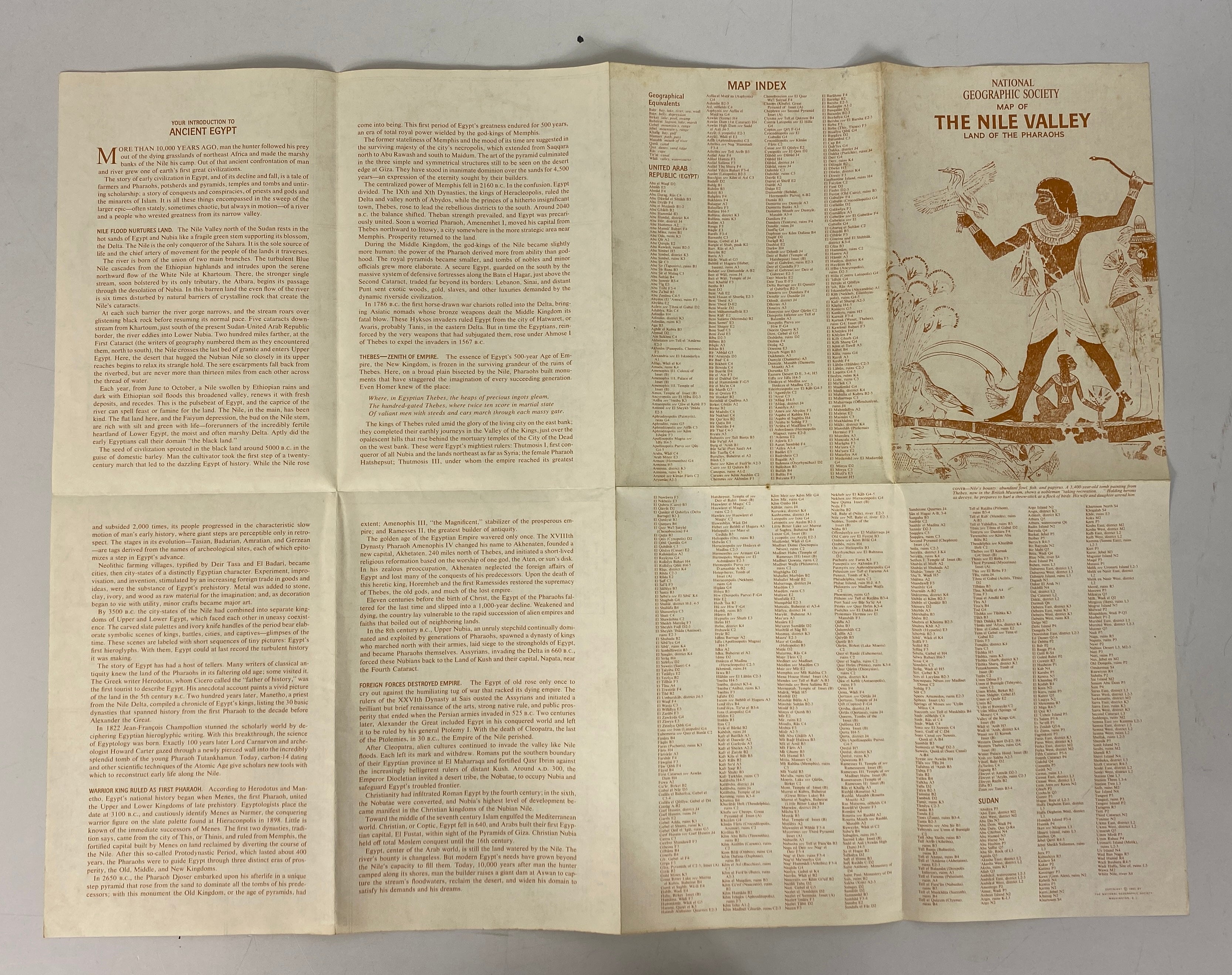
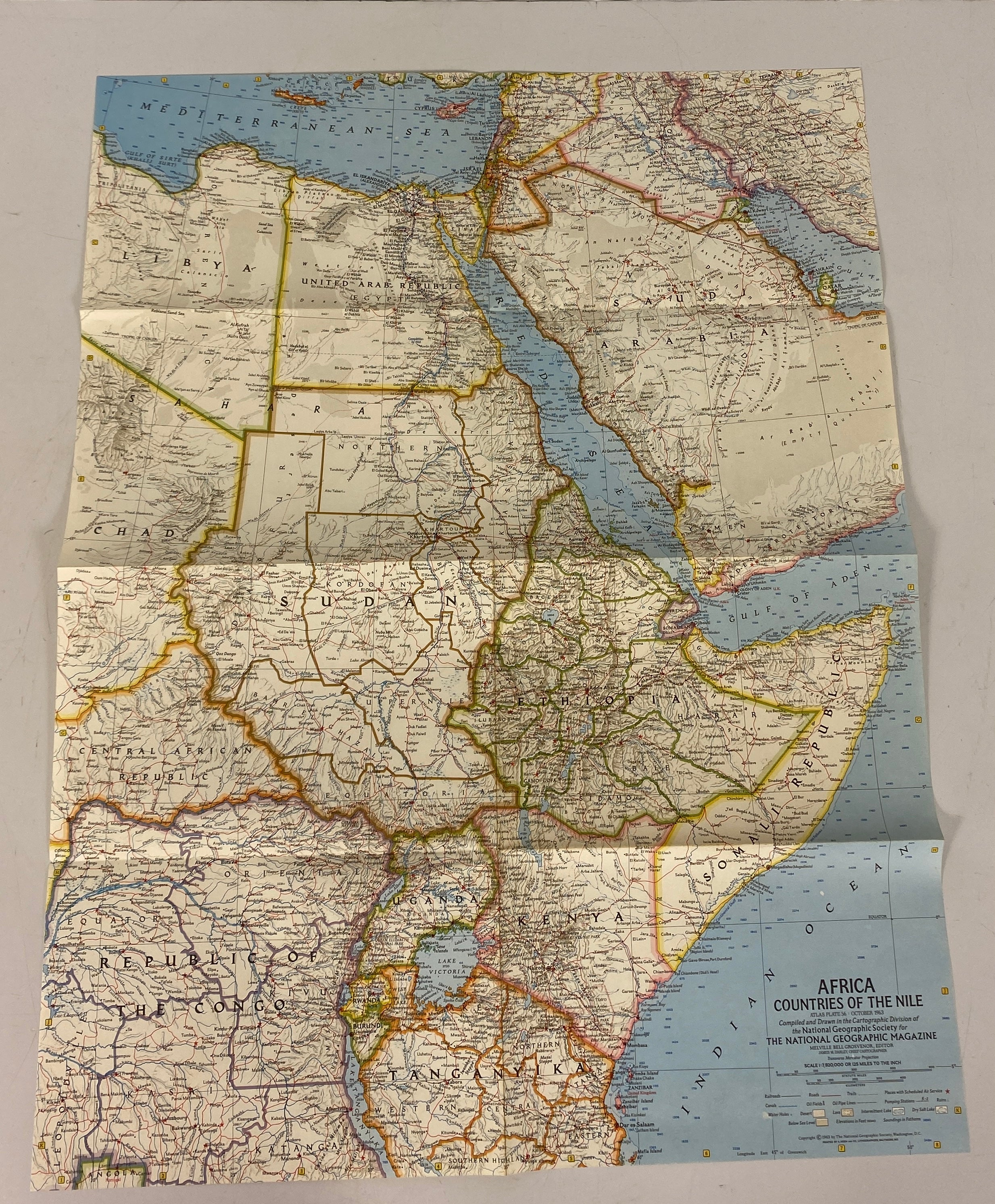
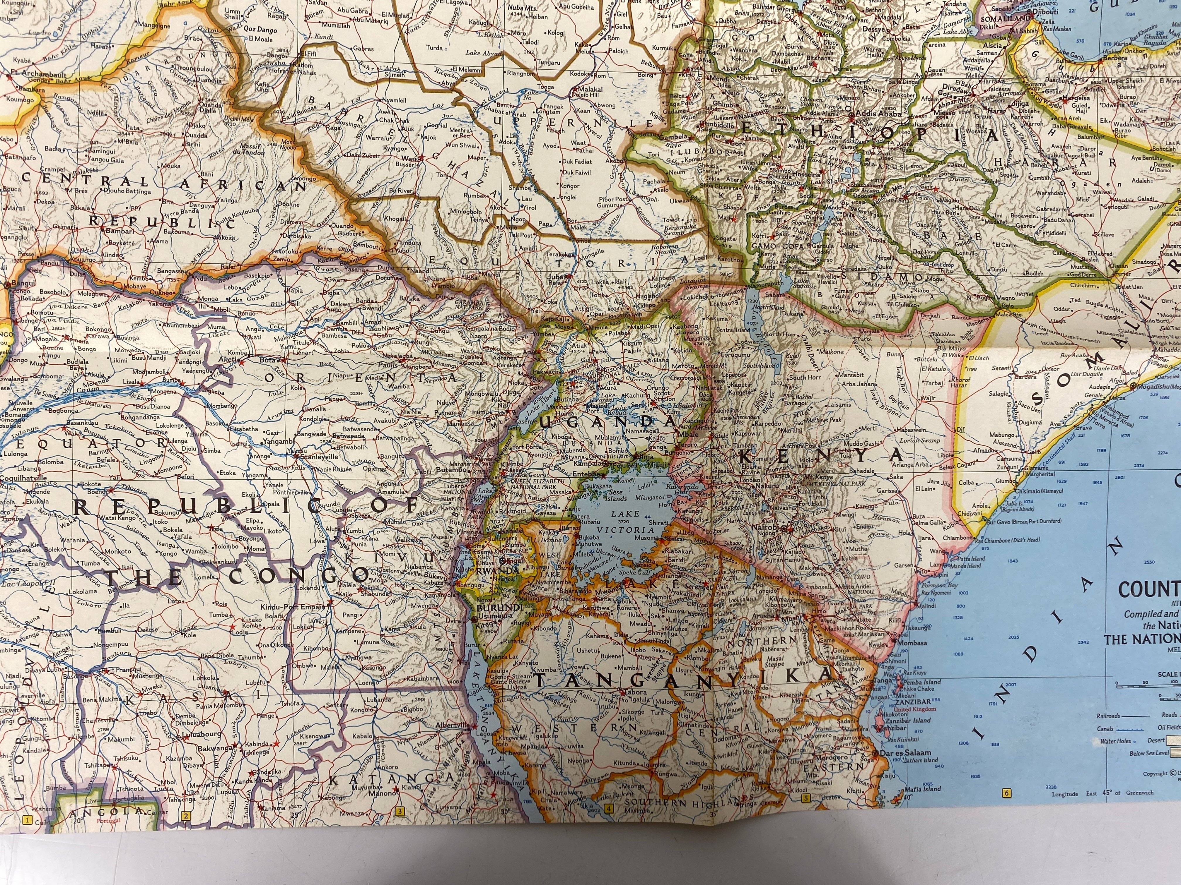
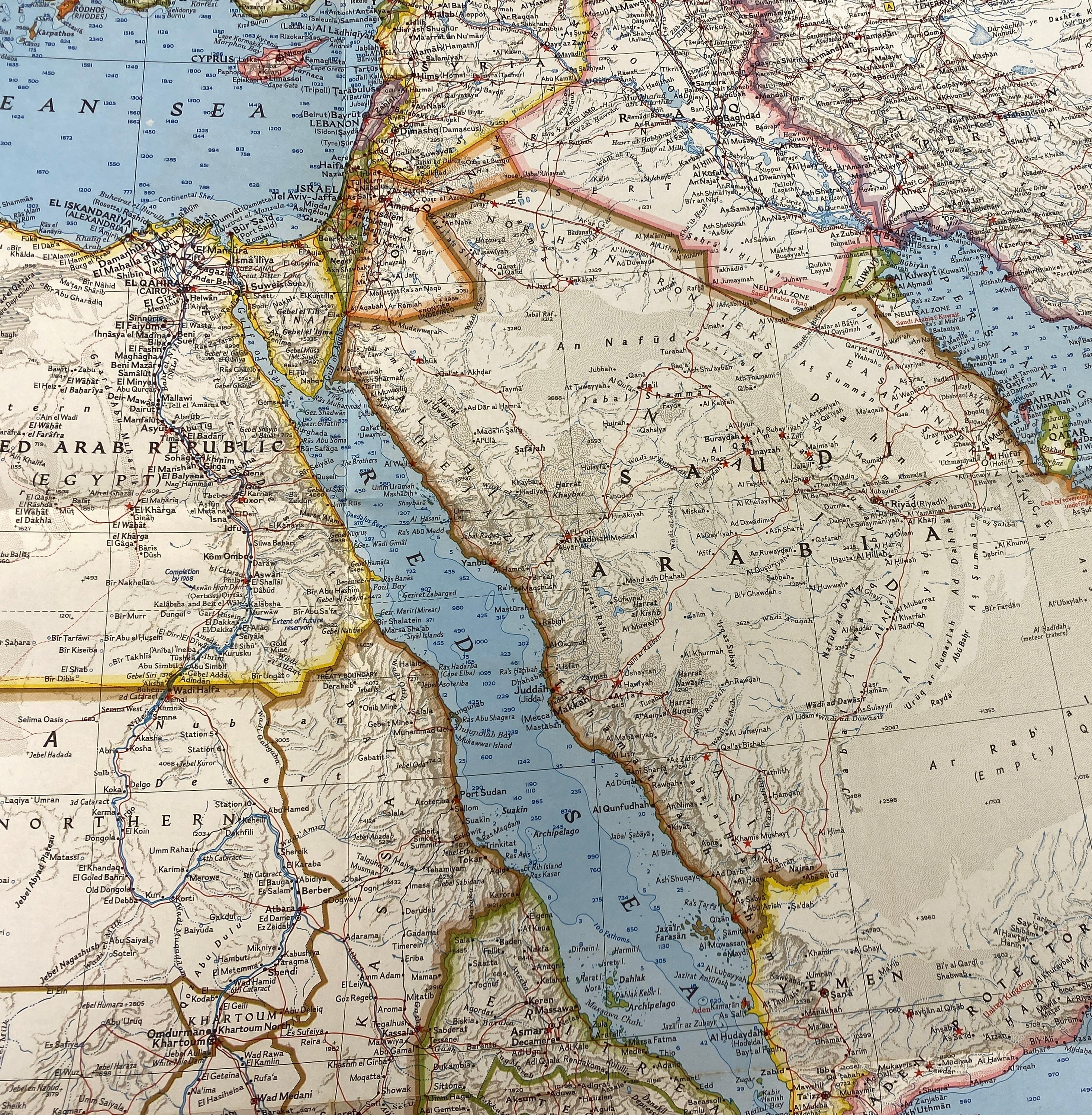
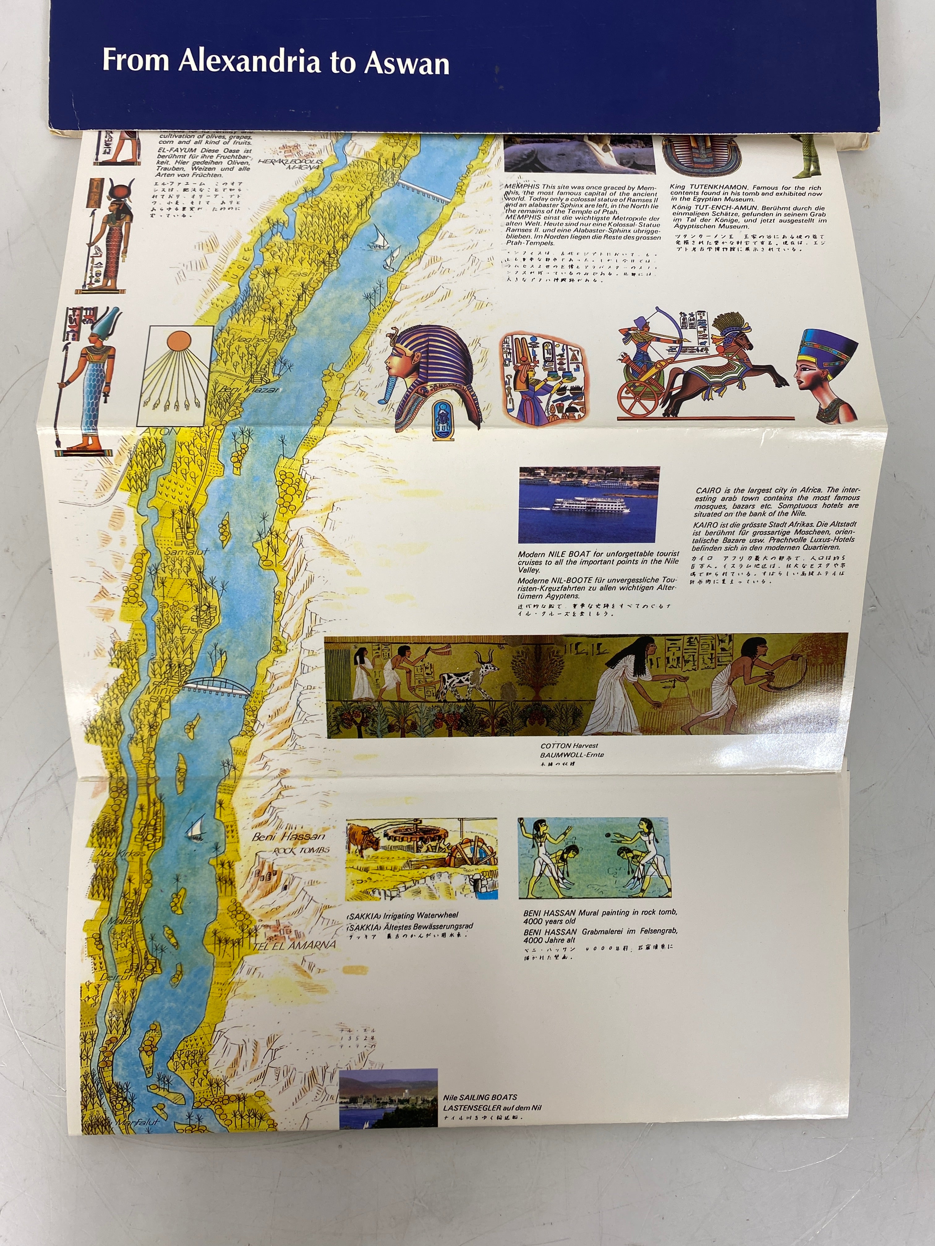
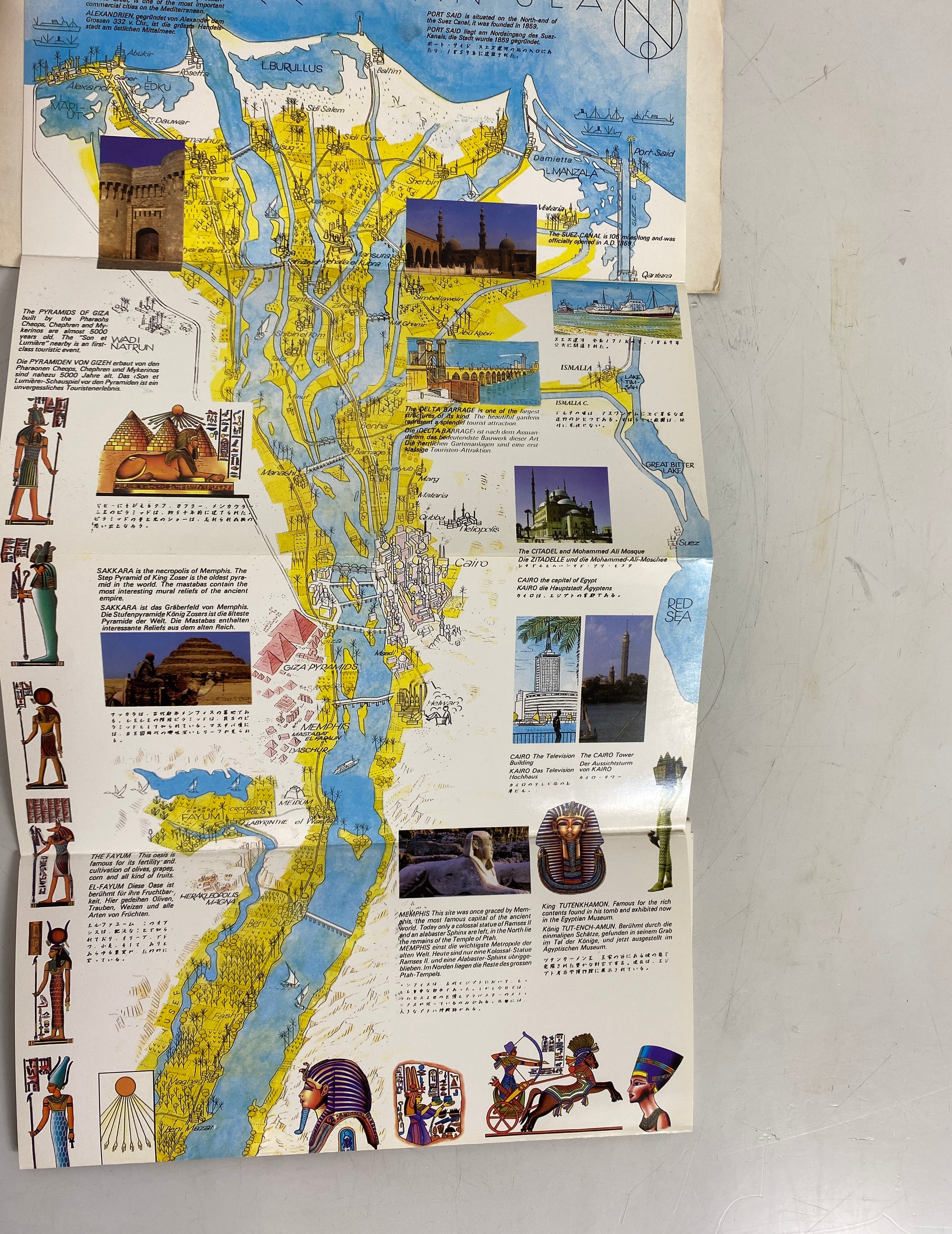
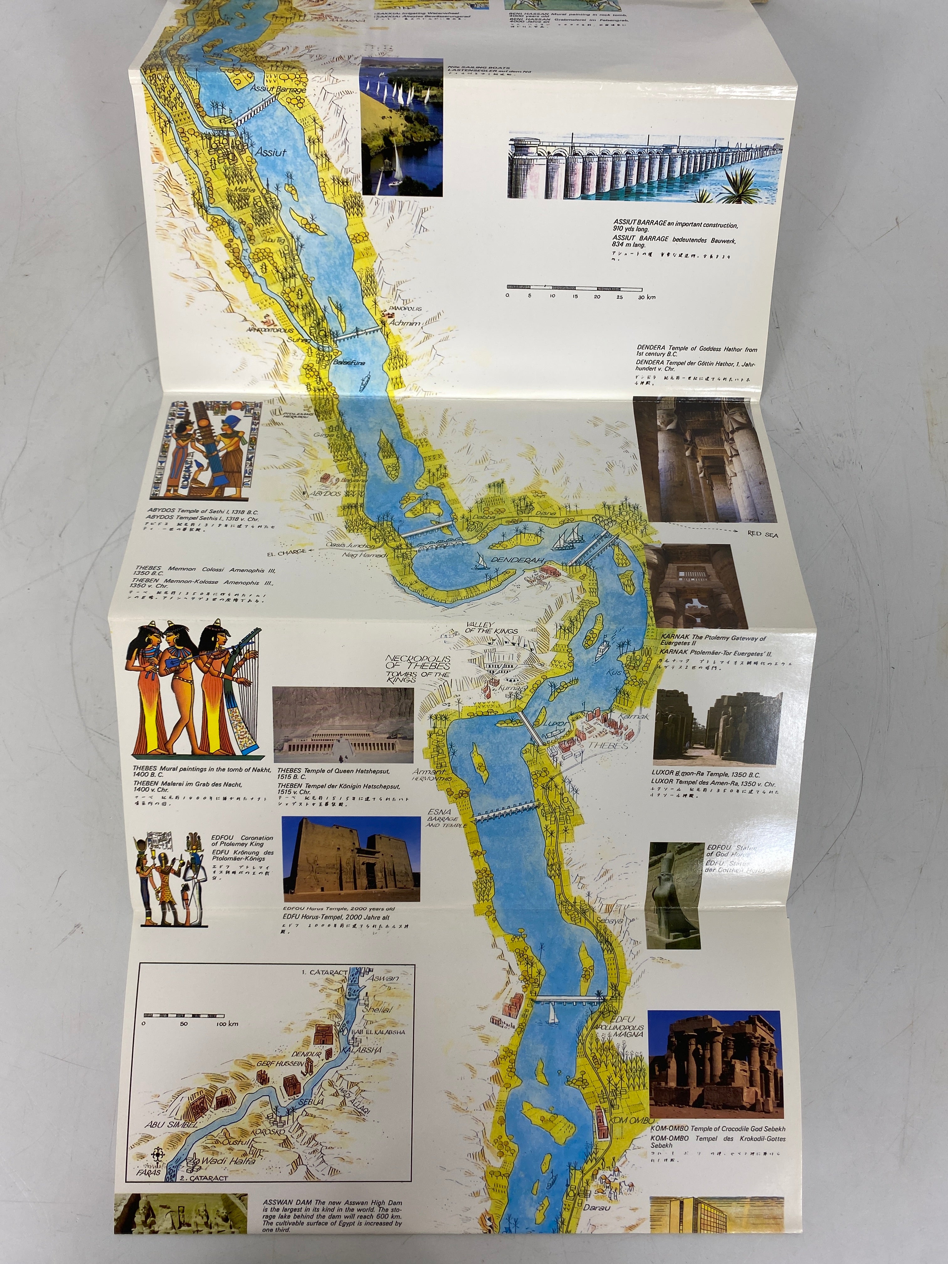
This collection includes four vintage illustrated maps of the Nile Valley. The first map titled 'Egypt's Nile Valley' was published by the National Geographic Society in January 1995, with a size of 31.5"x10". The second, 'Map of The Nile Valley Land of Pharaohs', also from the National Geographic Society, dates back to May 1965 and measures 25"x19". The third, 'Africa Countries of The Nile', published in October 1963 by the National Geographic Society, is 25"x19". The fourth, 'The Nile Illustrated Guide - Map', is from A.W.X Trading Company Egypt with an unstated copyright date and a size of 47"x9.5". The maps are in good condition. There's minor soiling, but it doesn't affect readability. There's no writing on the maps, and the front cover of 'The Nile' has a sticker. They're easy to fold, and the colors and ink are clear and vibrant.
These vintage Nile Valley maps are great for decoration or historical research. To use them, simply unfold and display them on a wall or table. When handling, make sure your hands are clean to avoid further soiling. Since they're vintage, be gentle when folding and unfolding to prevent tears. Store them in a dry, cool place away from direct sunlight to keep the colors vibrant. If you notice any dust, use a soft, dry cloth to gently wipe the surface.