Free Shipping On All Orders
Now in your cart 0 items  
Shopping Cart:  0 items
Sub-Total: $0.00
  1. Your cart is empty.
5 Nat Geo Maps: America's Federal Lands/Nat'l Parks & Monuments/Grand Canyon
  • 5 Exclusive National Geographic Maps: Federal Lands, National Parks, and Grand Canyon
  • 5 Exclusive National Geographic Maps: Federal Lands, National Parks, and Grand Canyon
  • 5 Exclusive National Geographic Maps: Federal Lands, National Parks, and Grand Canyon
  • 5 Exclusive National Geographic Maps: Federal Lands, National Parks, and Grand Canyon
  • 5 Exclusive National Geographic Maps: Federal Lands, National Parks, and Grand Canyon
  • 5 Exclusive National Geographic Maps: Federal Lands, National Parks, and Grand Canyon
  • 5 Exclusive National Geographic Maps: Federal Lands, National Parks, and Grand Canyon
  • 5 Exclusive National Geographic Maps: Federal Lands, National Parks, and Grand Canyon
  • 5 Exclusive National Geographic Maps: Federal Lands, National Parks, and Grand Canyon
  • 5 Exclusive National Geographic Maps: Federal Lands, National Parks, and Grand Canyon
  • 5 Exclusive National Geographic Maps: Federal Lands, National Parks, and Grand Canyon
  • 5 Exclusive National Geographic Maps: Federal Lands, National Parks, and Grand Canyon

FREE
NEW
HOT

5 Nat Geo Maps: America's Federal Lands/Nat'l Parks & Monuments/Grand Canyon

$16.00  $8.00
Save: 50% off

Availability : In-Stock

100% authentic products

90 Days Easy Returns View More Return Policy

Fast & reliable delivery This item ships free on all orders

Product Description

These five National Geographic maps offer a detailed look at America's federal lands, national parks, and monuments. The titles include 'Yellowstone and Grand Teton' (1989, 20.5"x15.5"), 'The Heart of the Grand Canyon & The Grand Canyon of the Colorado' (1978, 35"x22.5"), 'National Parks Monuments and Shrines of The United States and Canada' (1958, 25"x19"), 'Federal Lands in the Fifty States & United States; The Physical Landscape' (1996, 31.5"x20.5"), and 'America's Federal Lands & The United States' (1982, 42.5"x28"). All maps are in very good condition, with no writing or soiling, bright colors and ink, no tearing, and are easy to fold.
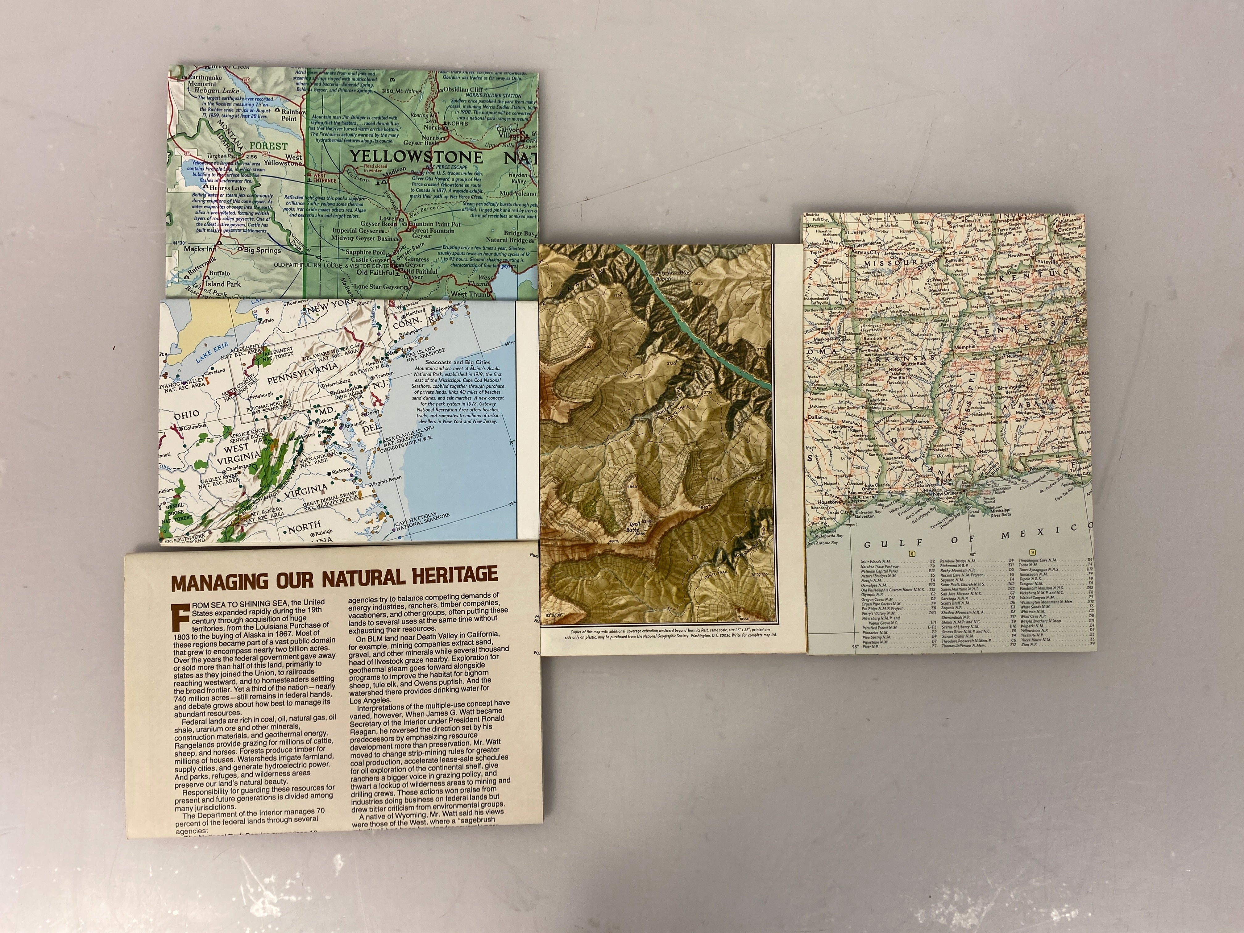
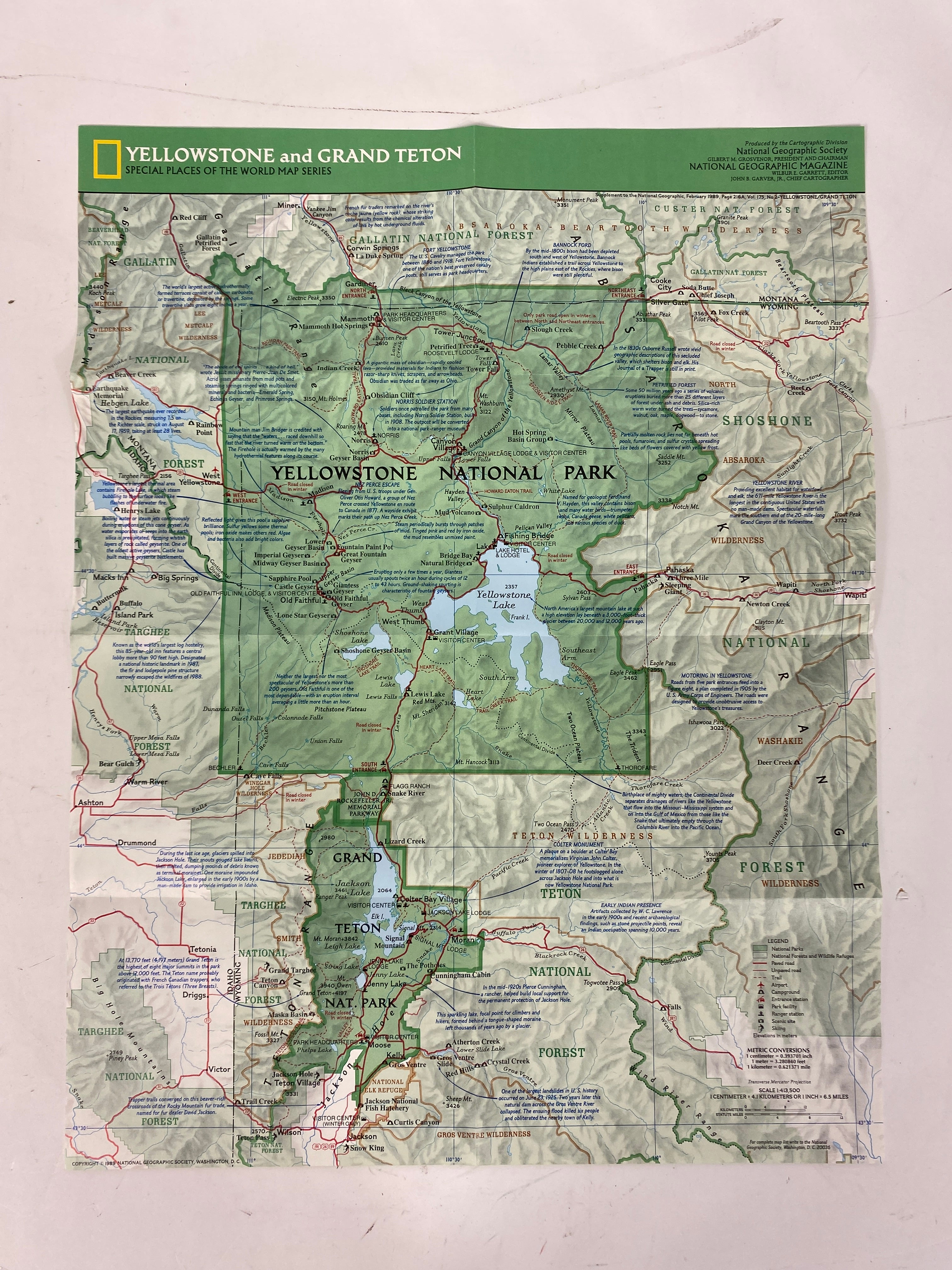
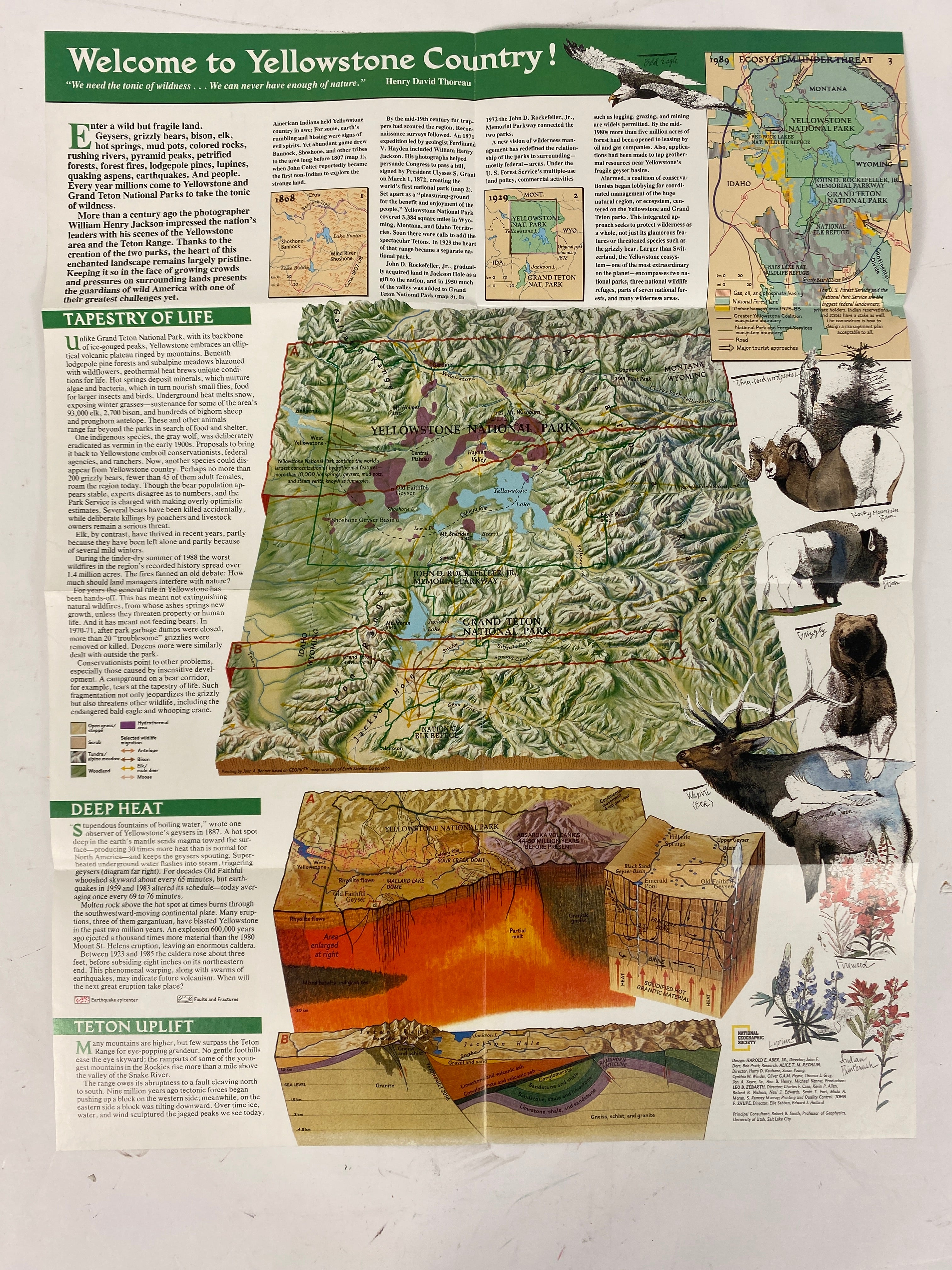
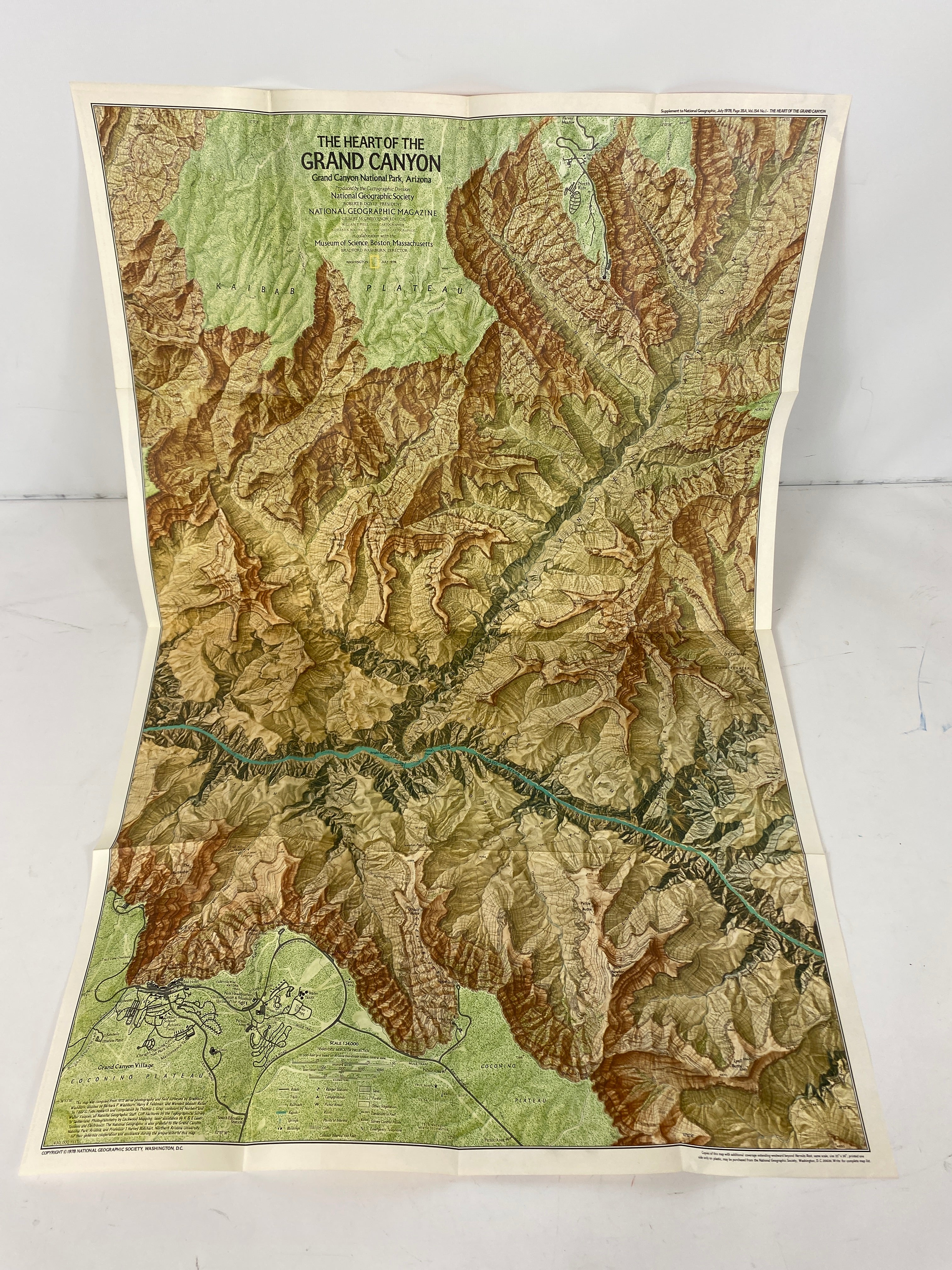
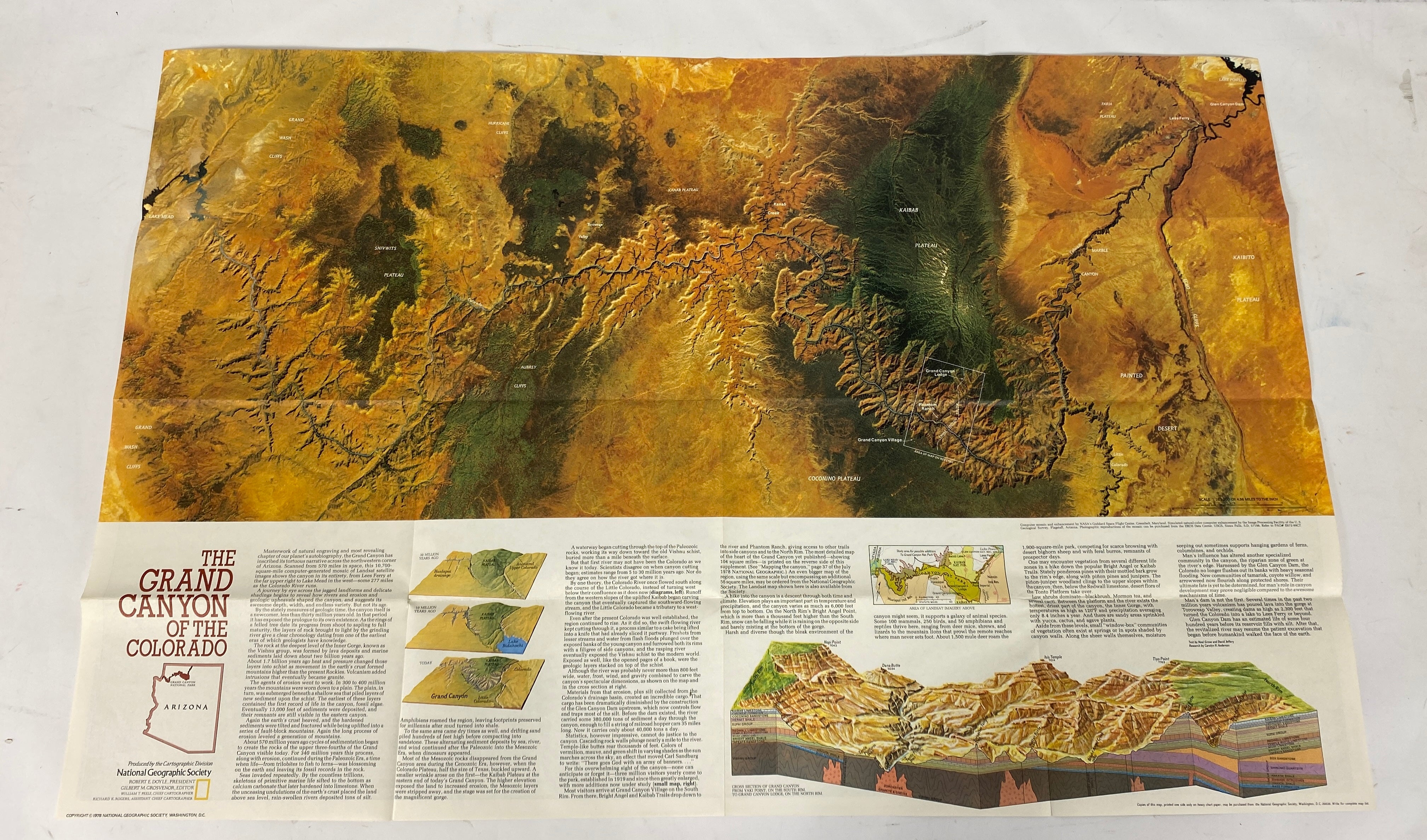
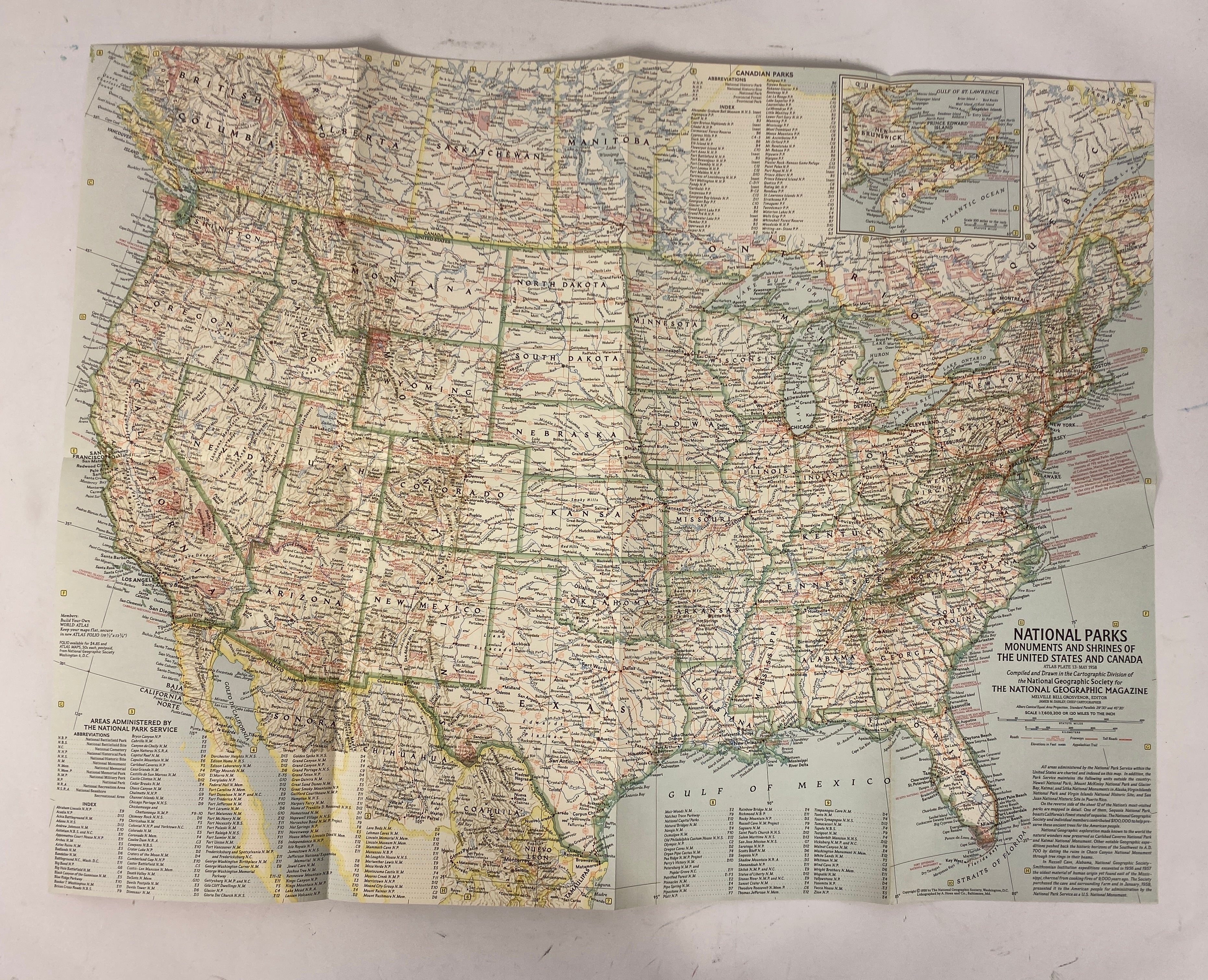
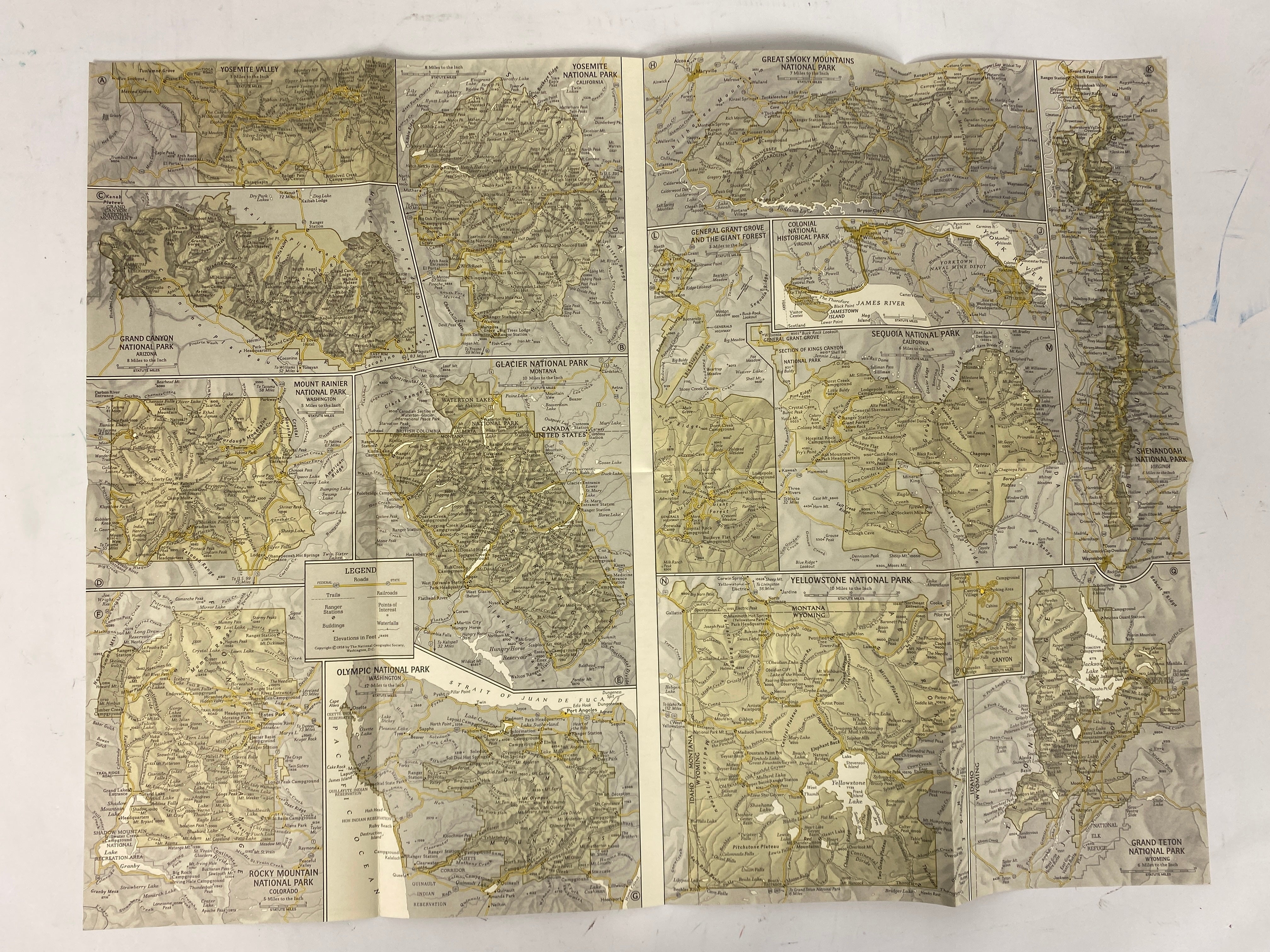
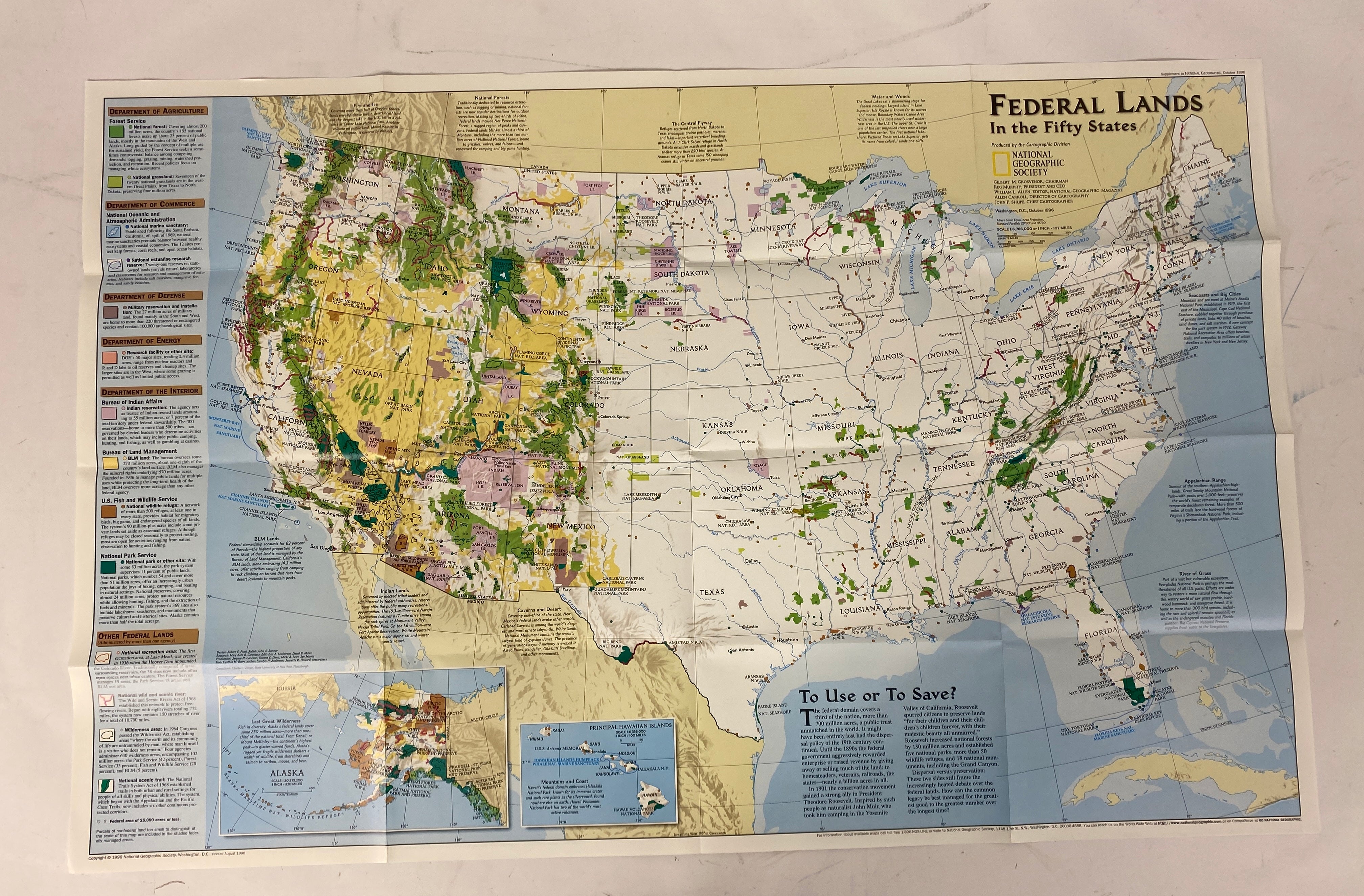
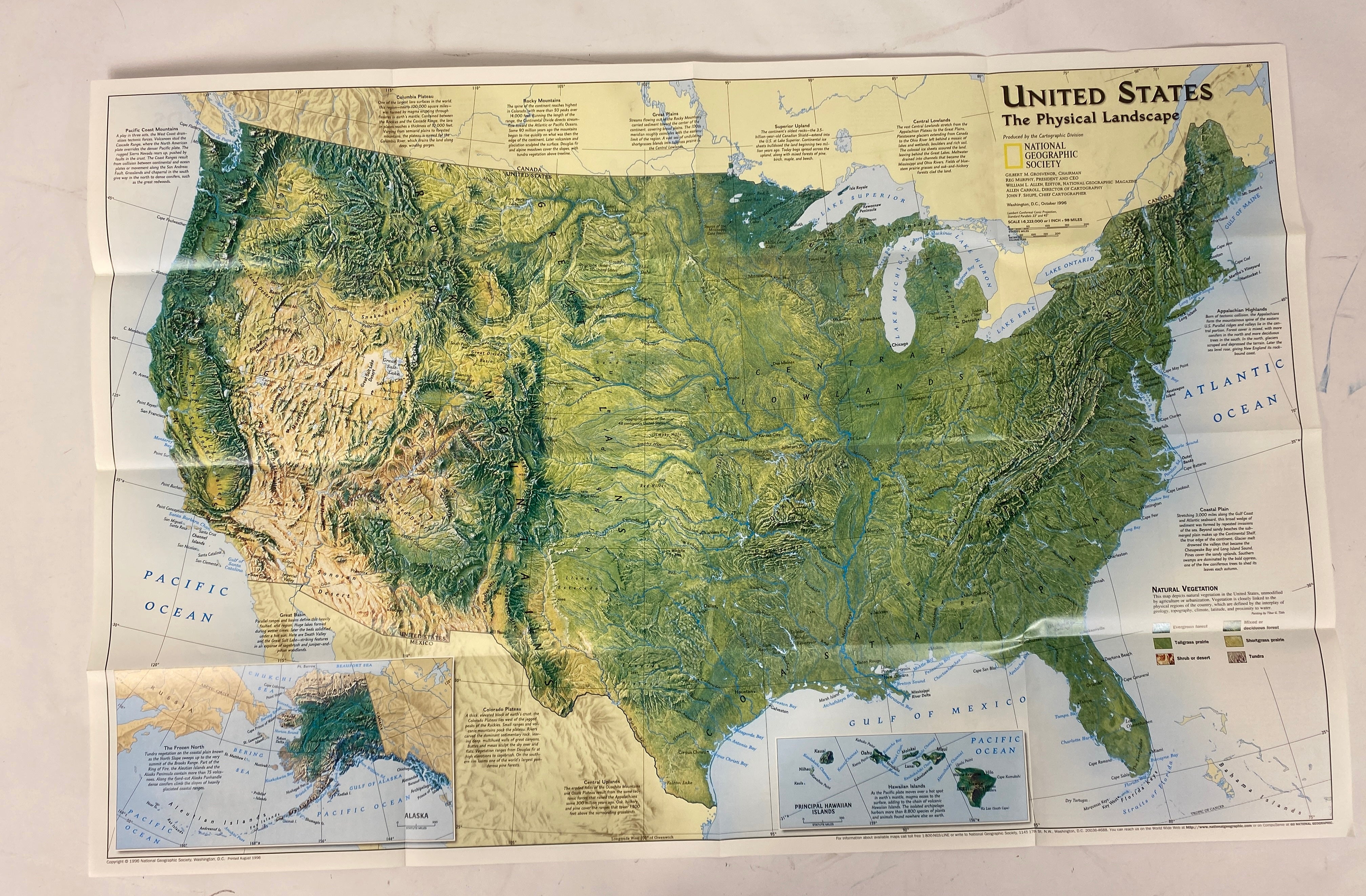
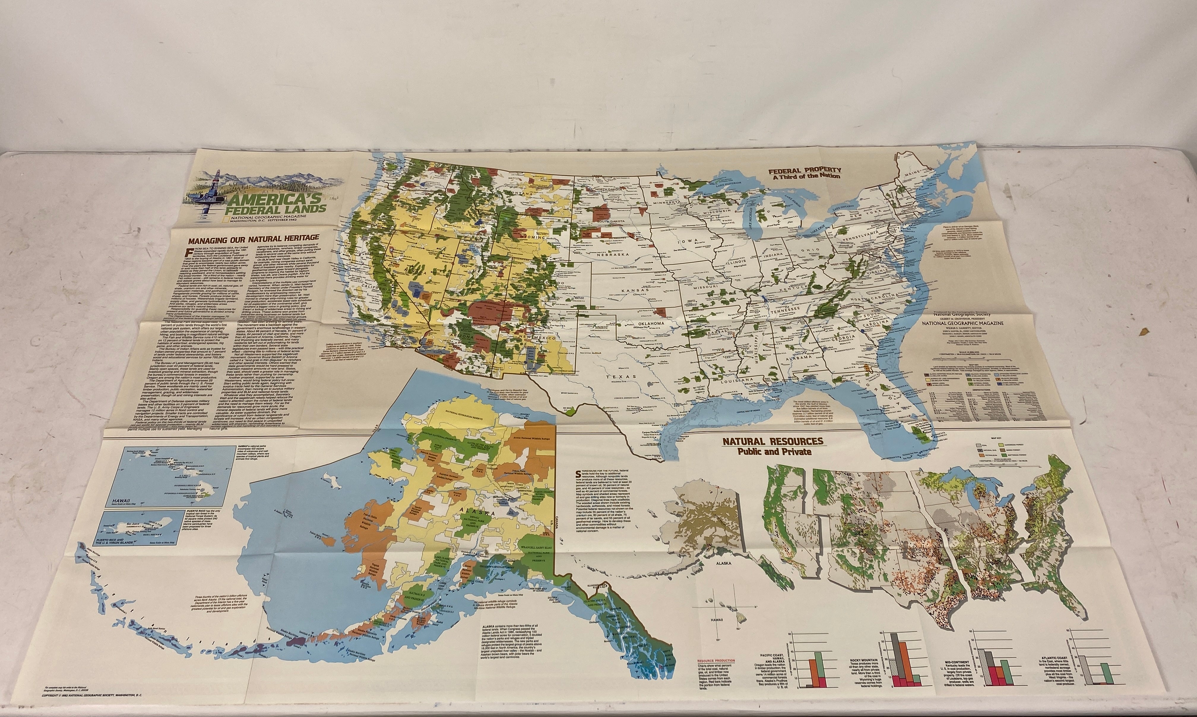
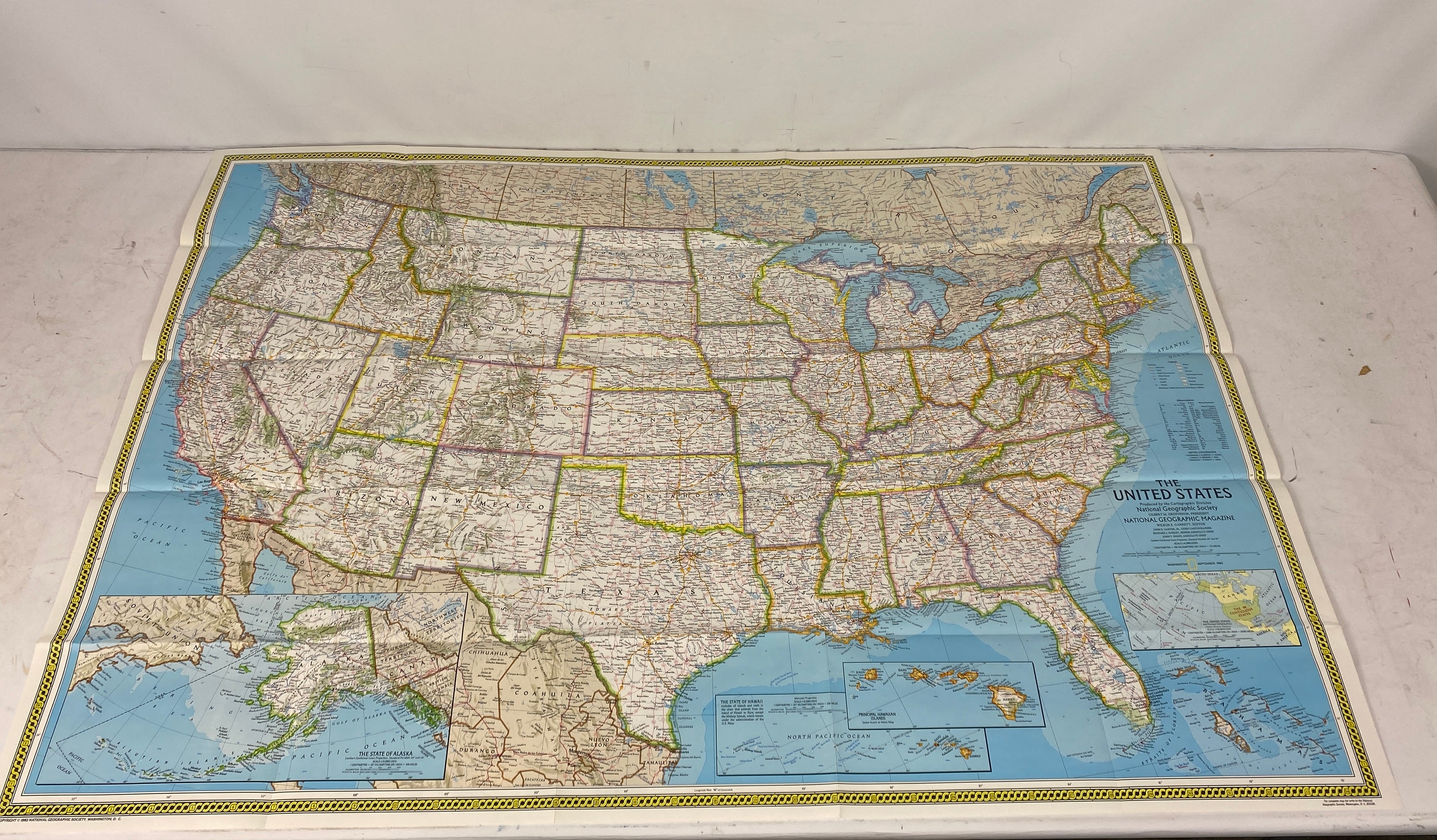
These National Geographic maps are great for exploring and learning about America's federal lands and national parks. To use them, simply unfold and lay them flat to view the detailed information. When not in use, fold them up neatly and store them in a dry place to keep them in good condition. Avoid exposing the maps to direct sunlight for long periods as it may fade the colors. If the maps get dirty, you can gently wipe them with a soft, dry cloth. With these maps, you can embark on virtual adventures and discover new places right from your home.


Copyright (C) likefindsk.com 2025 All Rights Reserved.
TOP