Free Shipping On All Orders
Now in your cart 0 items  
Shopping Cart:  0 items
Sub-Total: $0.00
  1. Your cart is empty.
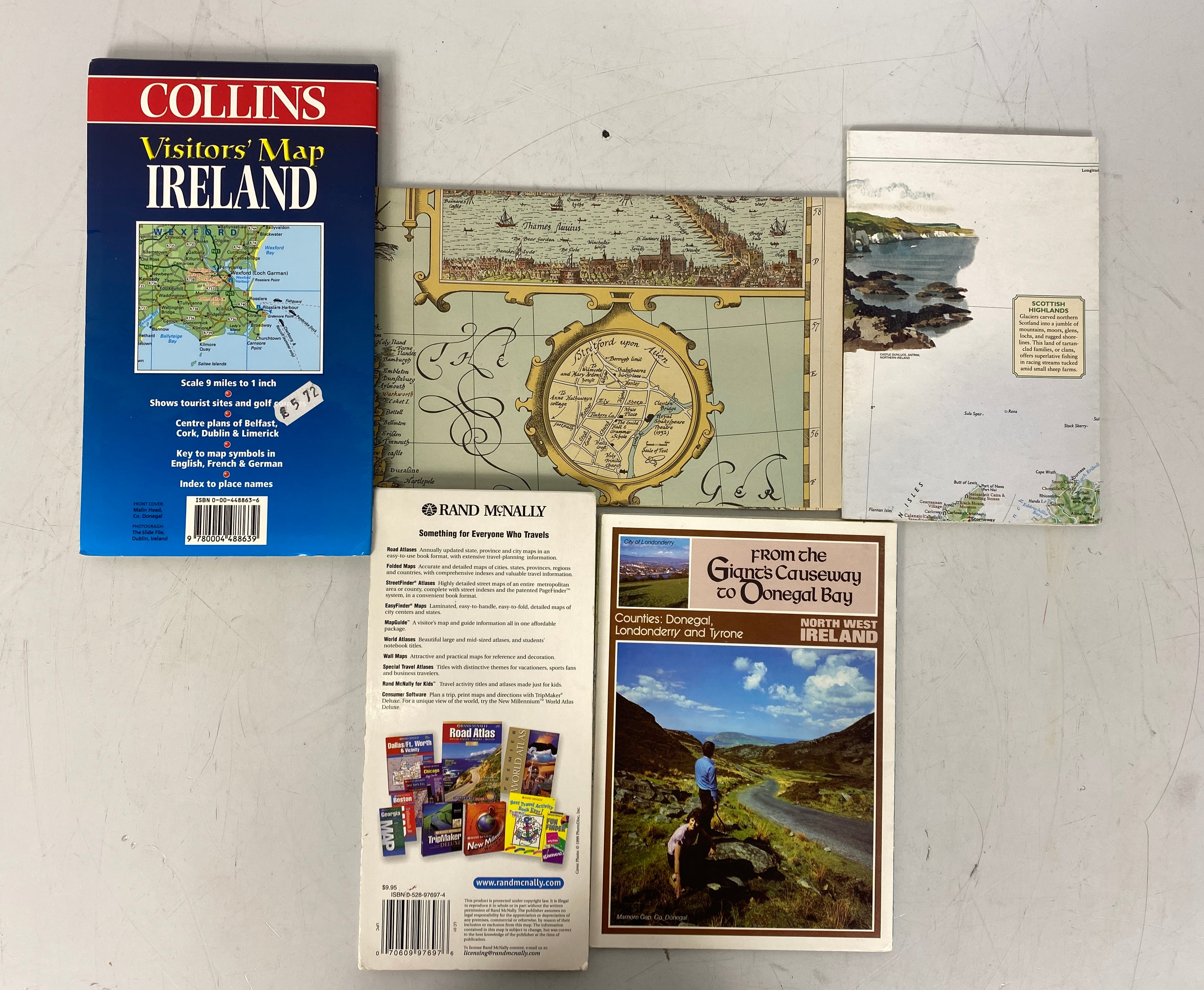
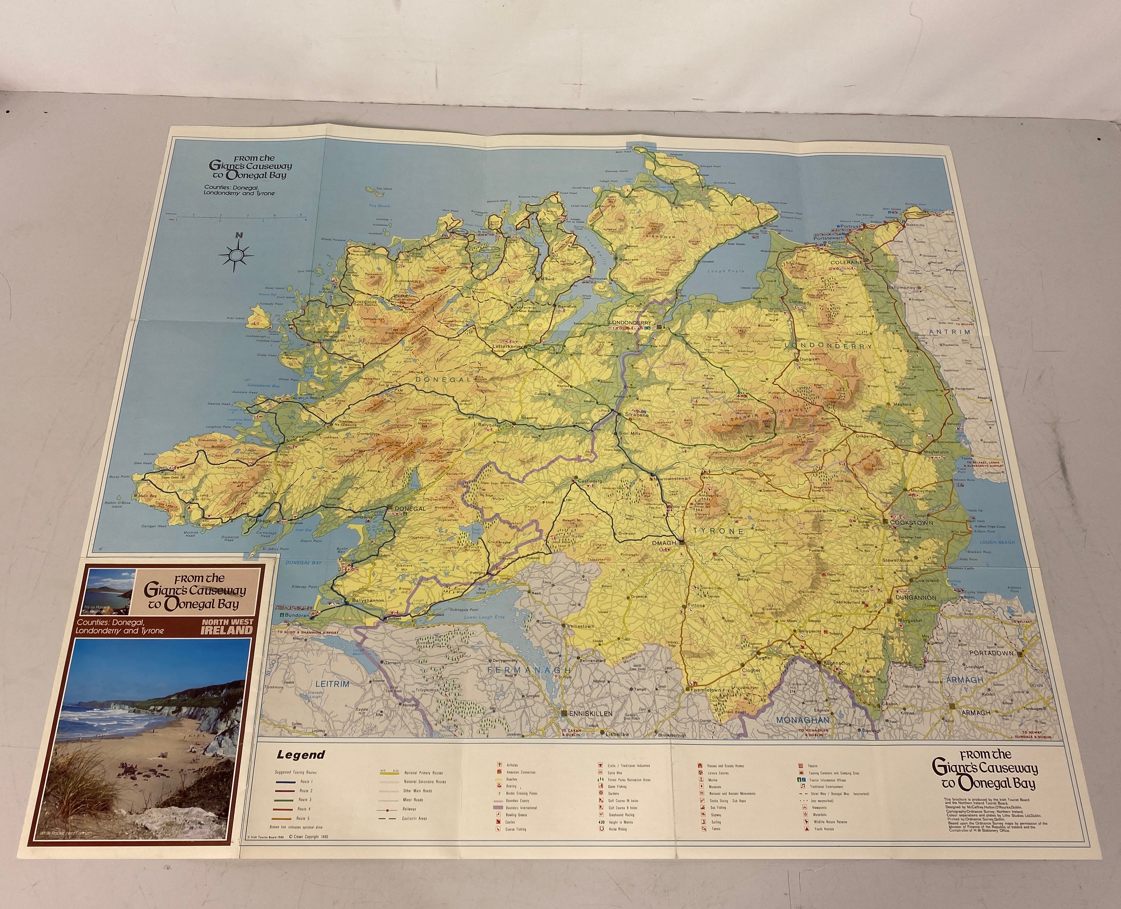
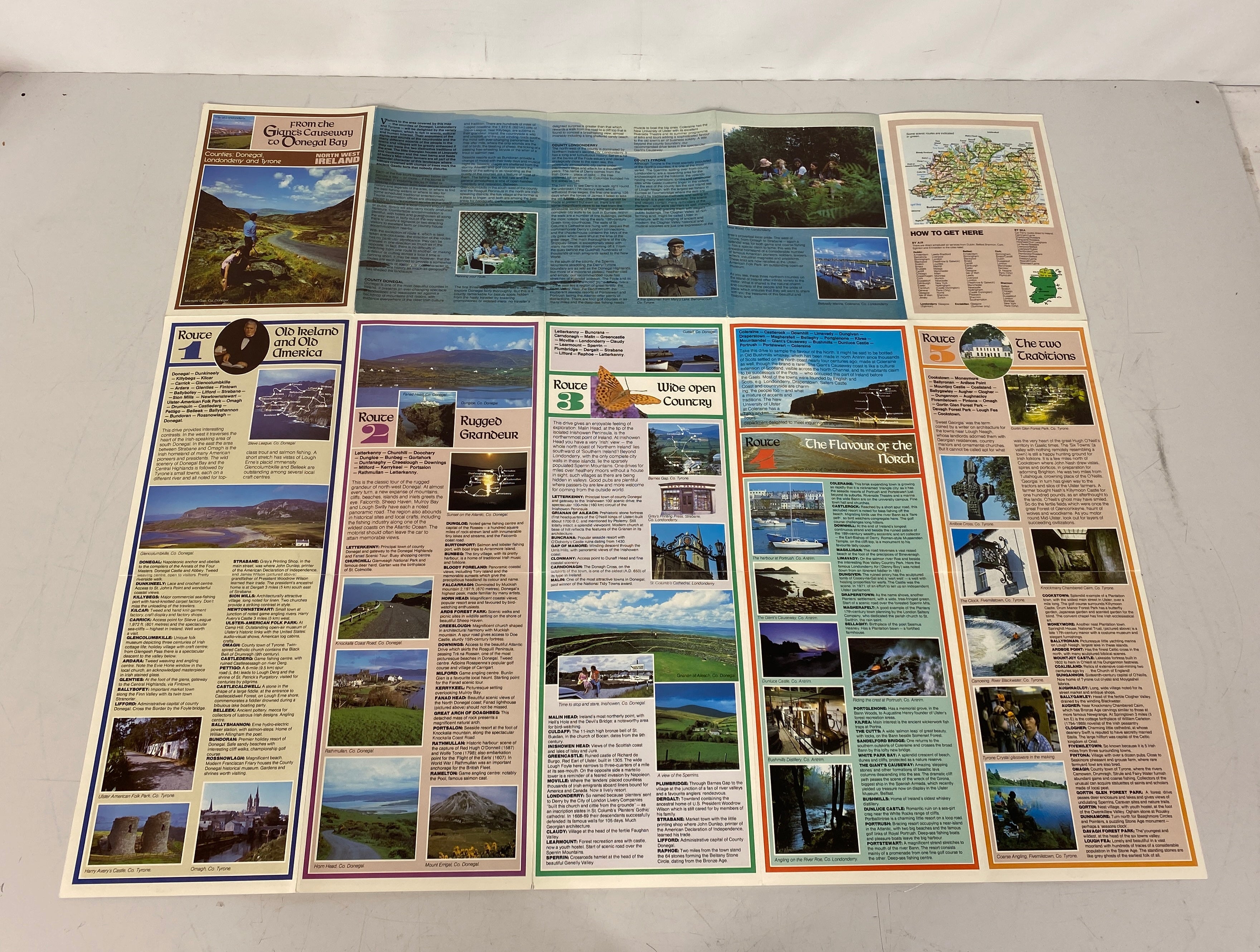
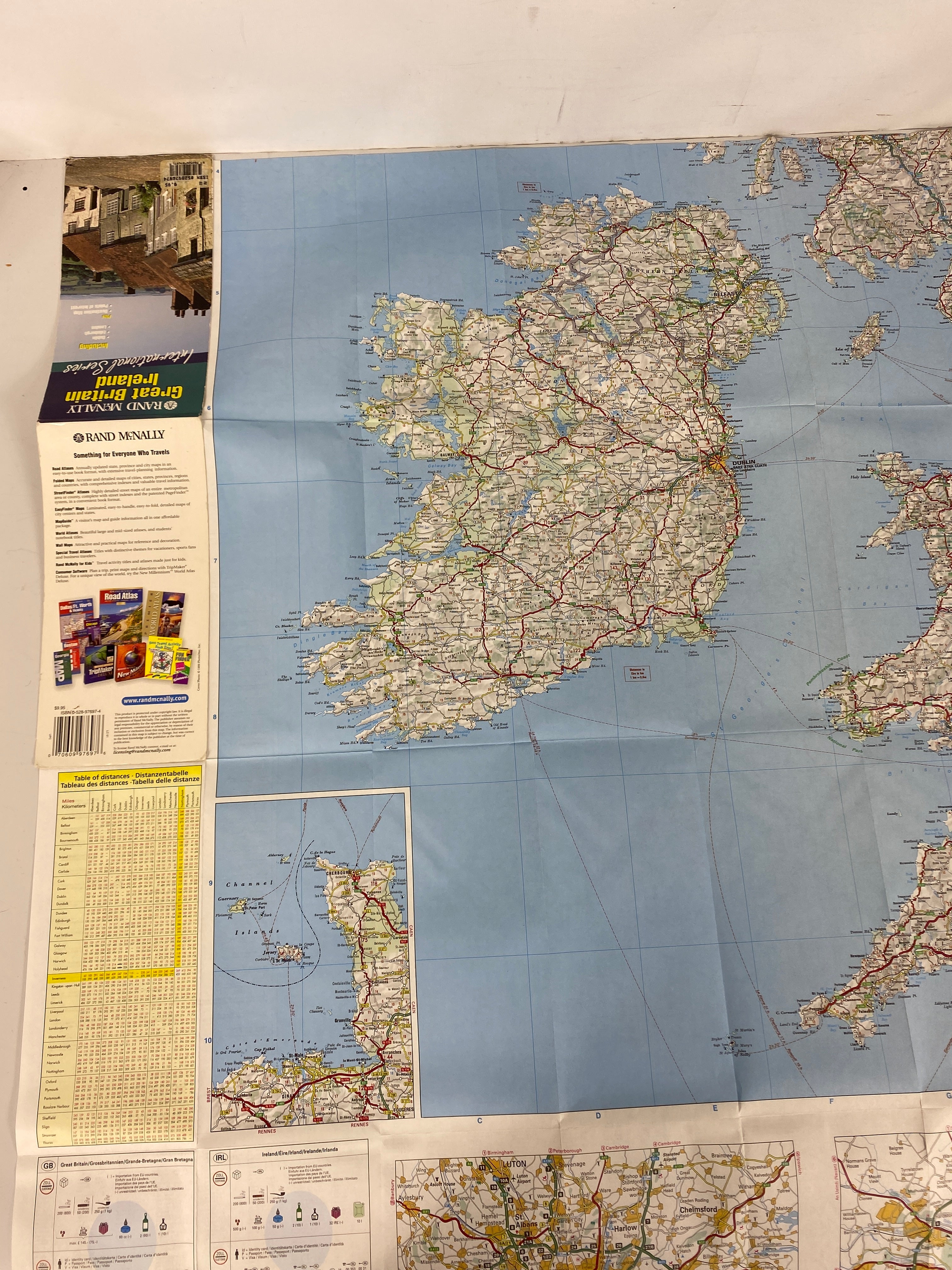
Lot of Maps: Shakespeare's Britain/Ireland Golf Courses/North West Ireland
  • Bundle of Vintage Maps: Shakespeare's Britain, Ireland Golf Courses & North West Ireland
  • Bundle of Vintage Maps: Shakespeare's Britain, Ireland Golf Courses & North West Ireland
  • Bundle of Vintage Maps: Shakespeare's Britain, Ireland Golf Courses & North West Ireland
  • Bundle of Vintage Maps: Shakespeare's Britain, Ireland Golf Courses & North West Ireland
  • Bundle of Vintage Maps: Shakespeare's Britain, Ireland Golf Courses & North West Ireland
  • Bundle of Vintage Maps: Shakespeare's Britain, Ireland Golf Courses & North West Ireland
  • Bundle of Vintage Maps: Shakespeare's Britain, Ireland Golf Courses & North West Ireland
  • Bundle of Vintage Maps: Shakespeare's Britain, Ireland Golf Courses & North West Ireland
  • Bundle of Vintage Maps: Shakespeare's Britain, Ireland Golf Courses & North West Ireland
  • Bundle of Vintage Maps: Shakespeare's Britain, Ireland Golf Courses & North West Ireland
  • Bundle of Vintage Maps: Shakespeare's Britain, Ireland Golf Courses & North West Ireland
  • Bundle of Vintage Maps: Shakespeare's Britain, Ireland Golf Courses & North West Ireland
  • Bundle of Vintage Maps: Shakespeare's Britain, Ireland Golf Courses & North West Ireland
  • Bundle of Vintage Maps: Shakespeare's Britain, Ireland Golf Courses & North West Ireland
  • Bundle of Vintage Maps: Shakespeare's Britain, Ireland Golf Courses & North West Ireland

FREE
NEW
HOT

Lot of Maps: Shakespeare's Britain/Ireland Golf Courses/North West Ireland

$16.00  $8.00
Save: 50% off

Availability : In-Stock

100% authentic products

90 Days Easy Returns View More Return Policy

Fast & reliable delivery This item ships free on all orders

Product Description

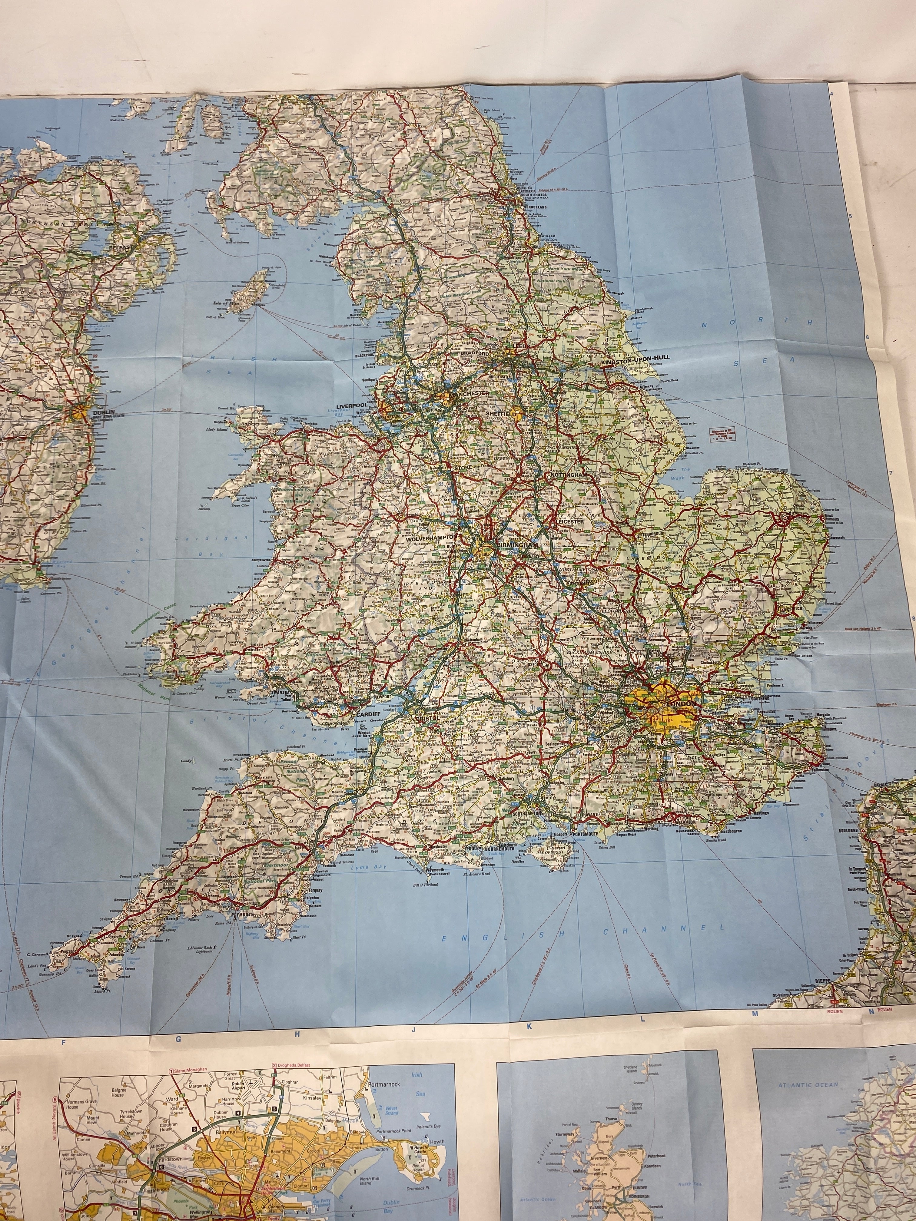
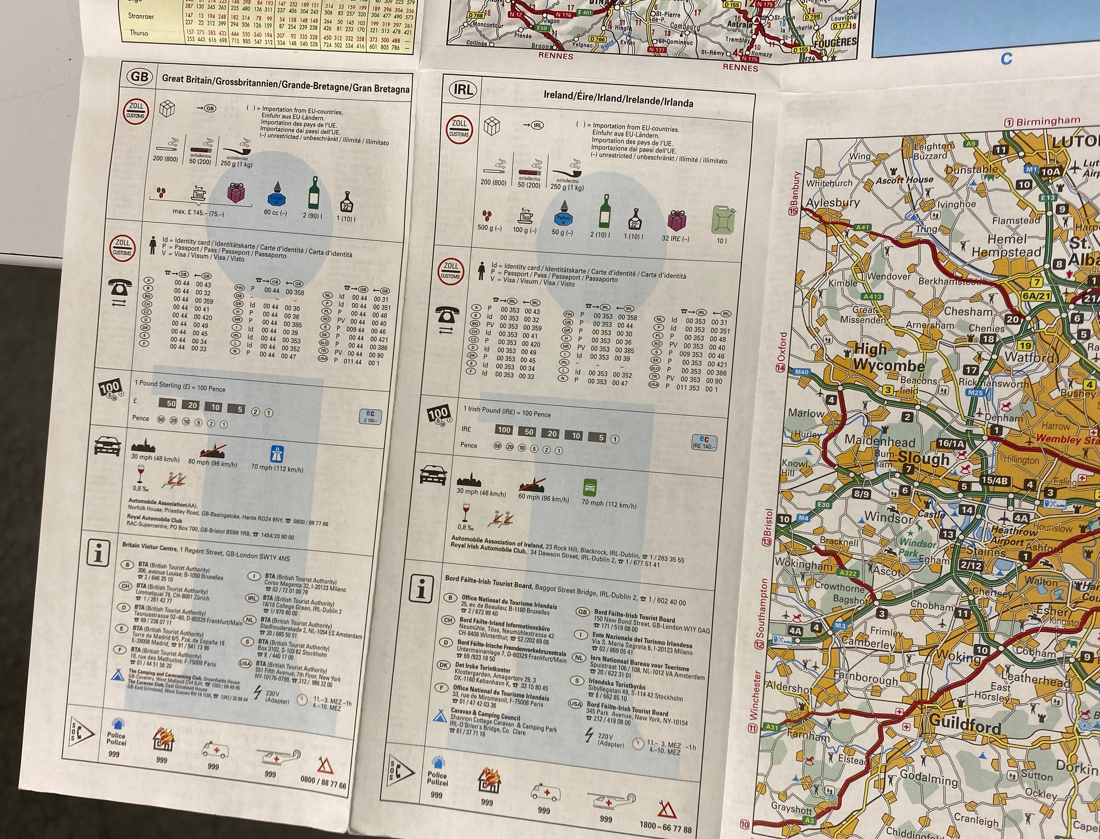
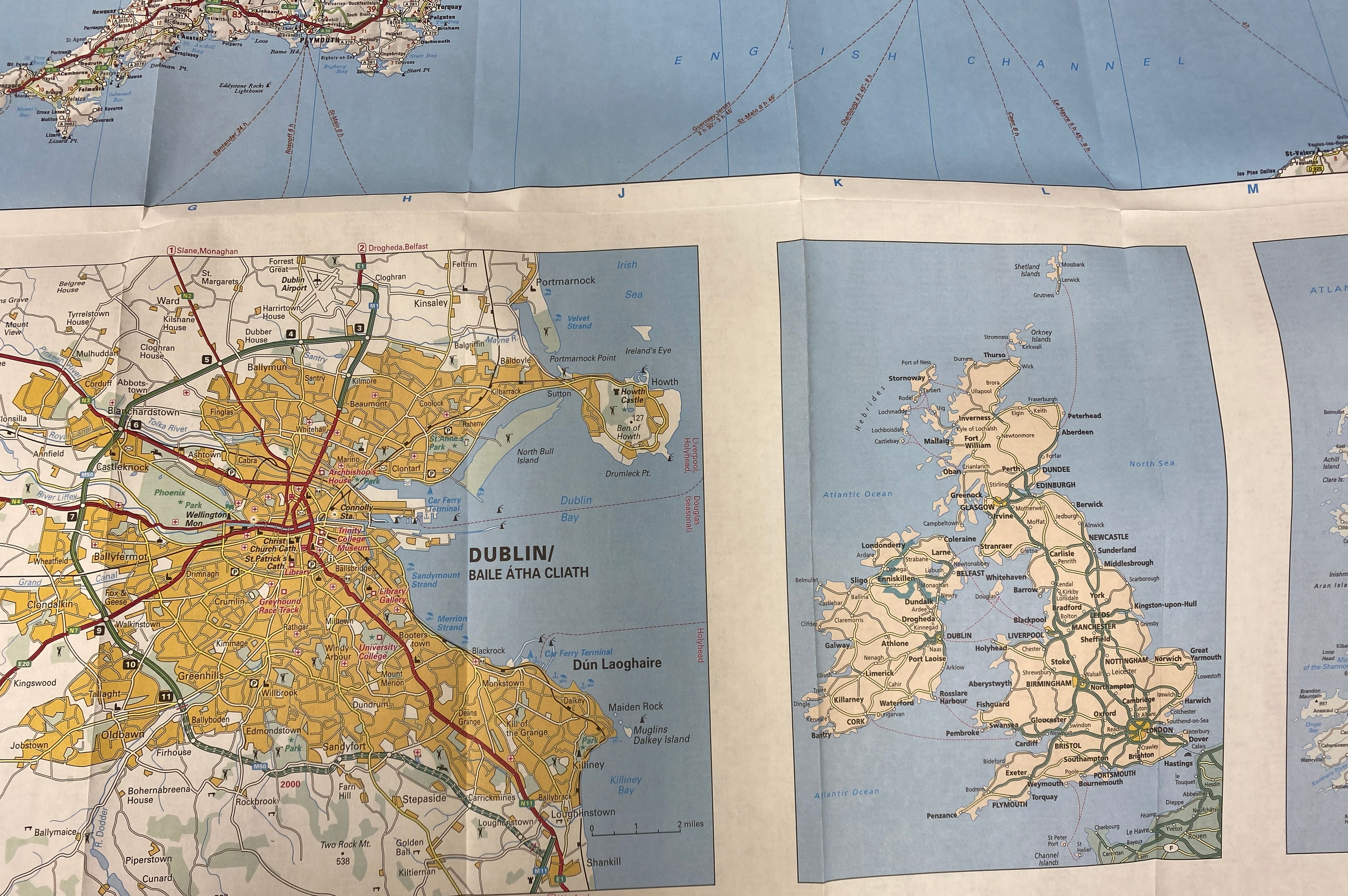
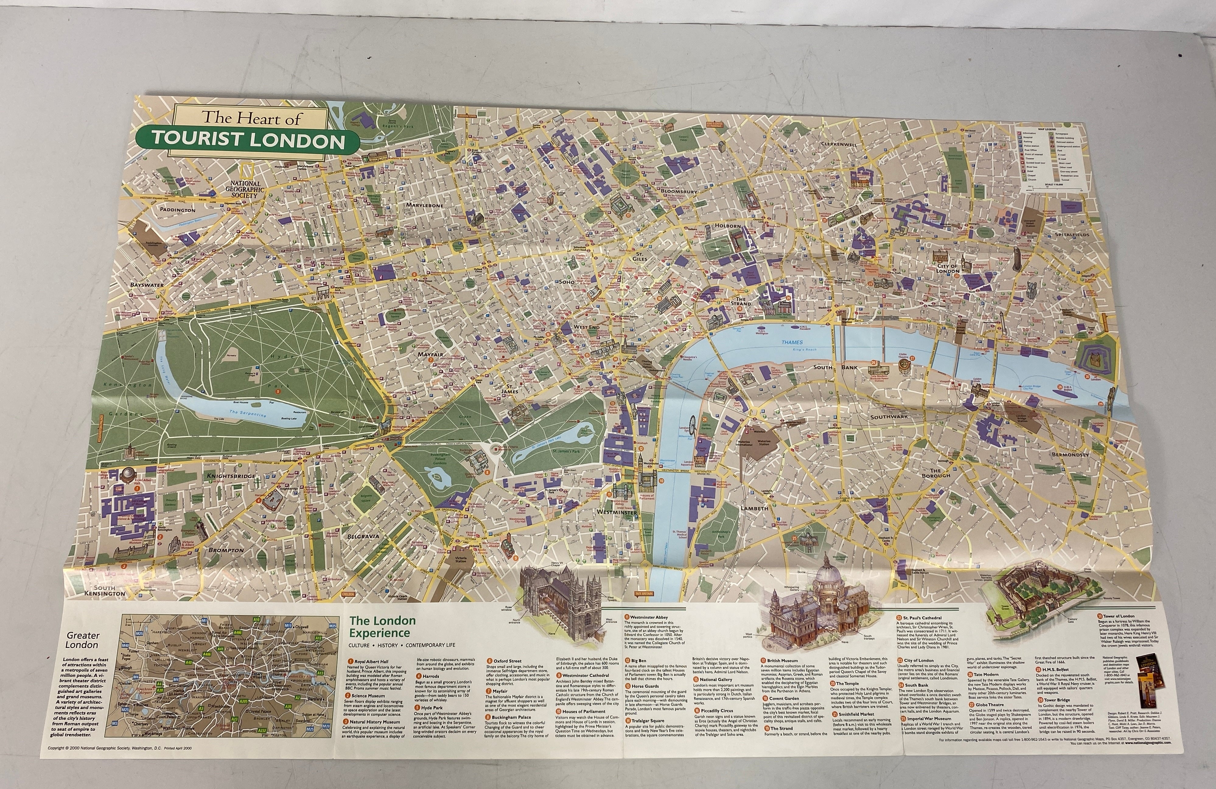
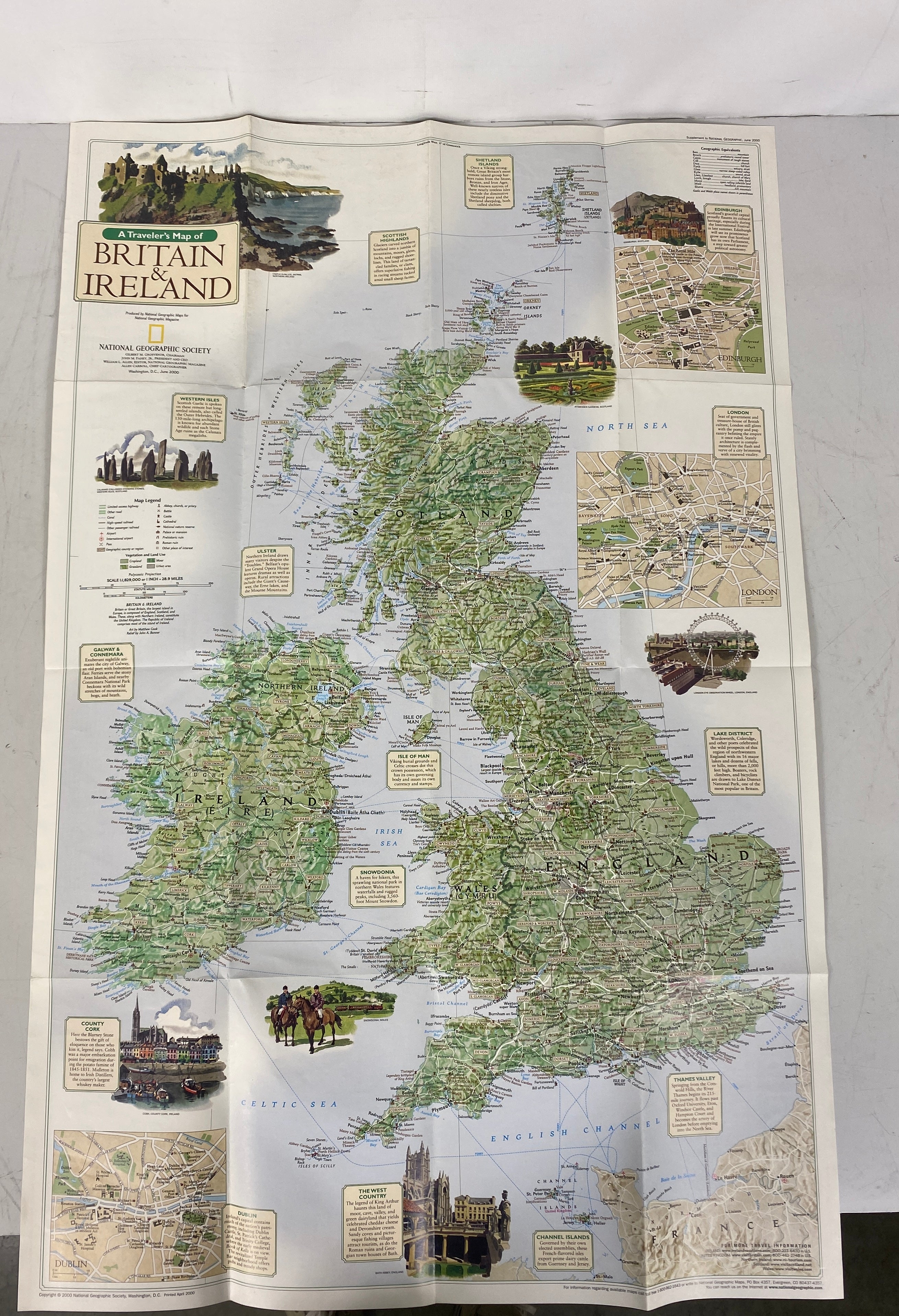
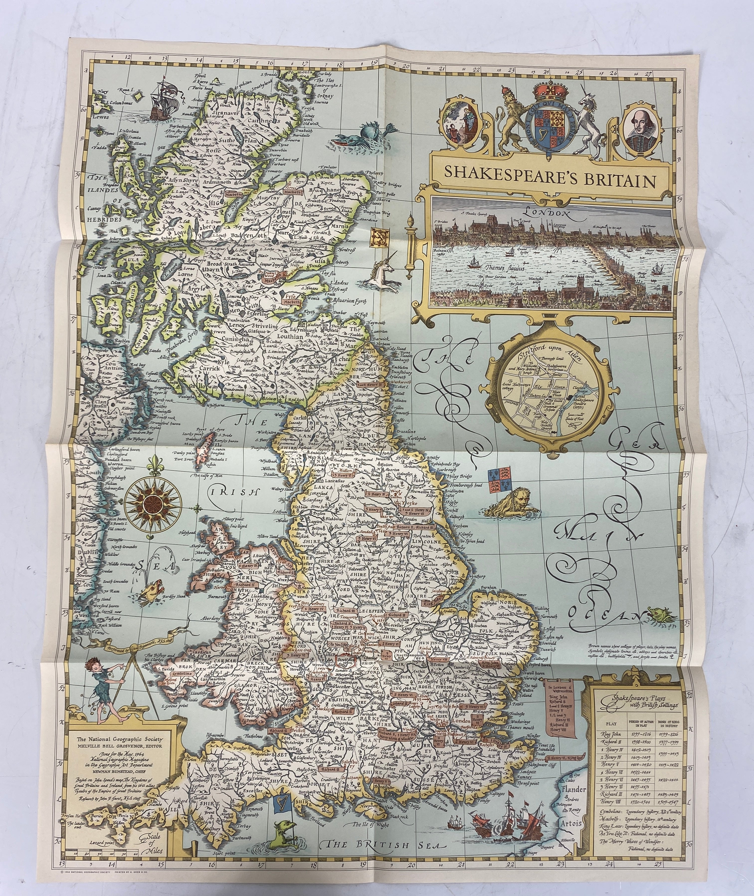
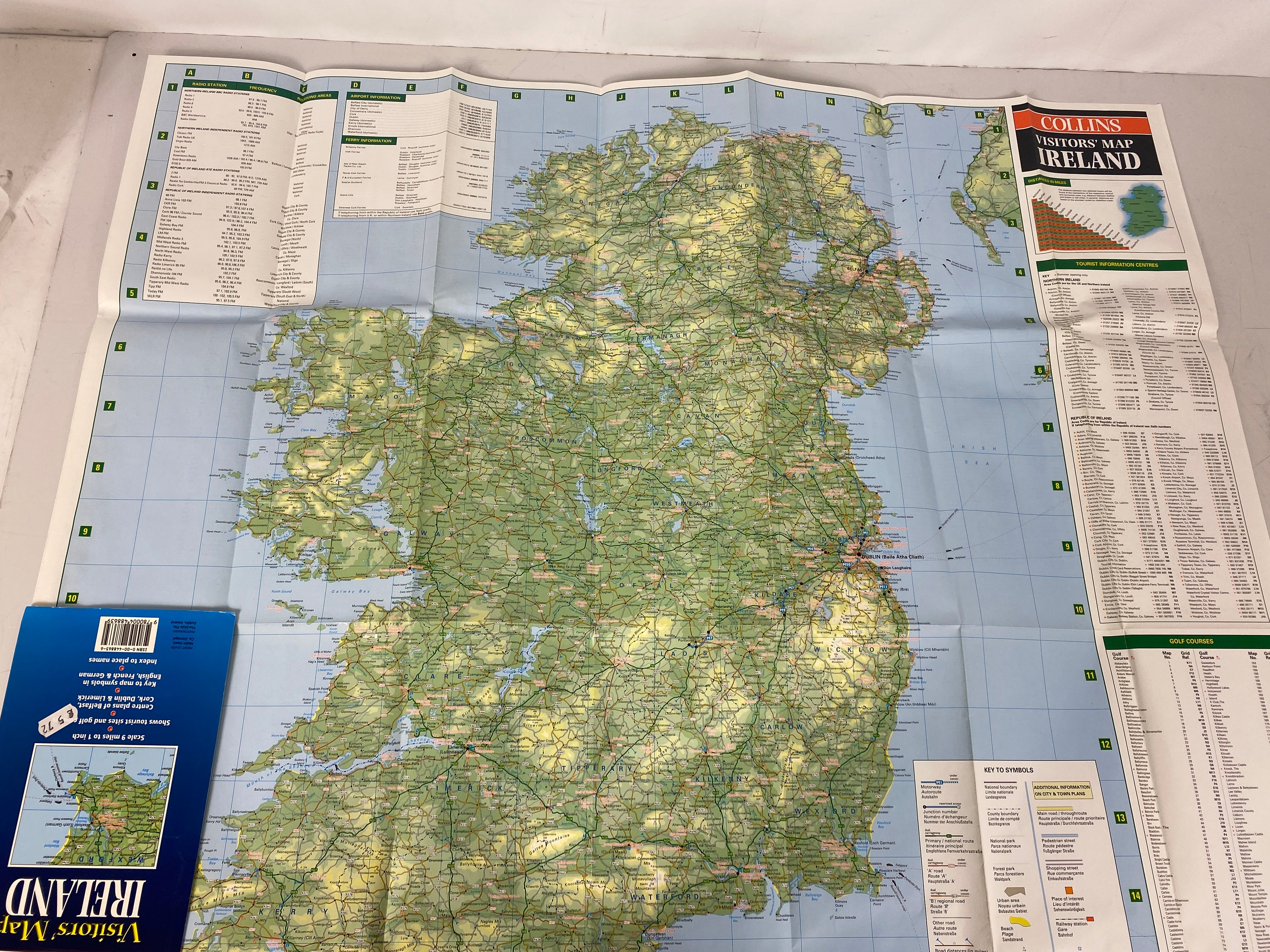
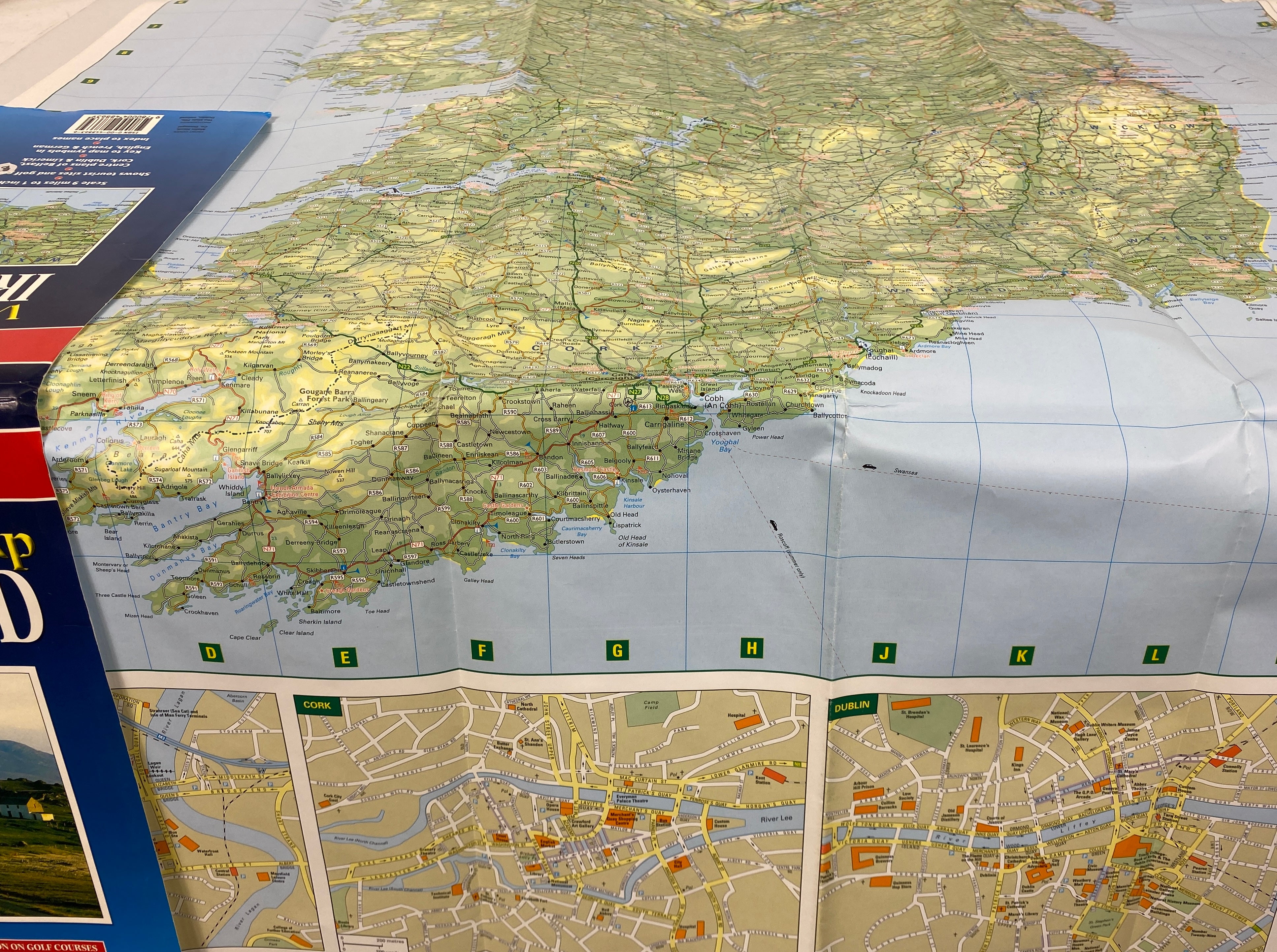
This lot includes a variety of high - quality maps. First, 'From the Giant's Causeway to Donegal Bay' by Irish Tourists, copyrighted in 1980, sized 29"x24.5". Second, 'Great Britain Ireland' by Rand McNally, with no copyright year noted, sized 41.5"x36". Third, 'A Traveler's Map of Britain and Ireland, & The Heart of Tourist London' by the National Geographic Society, copyrighted in June 2000, sized 31"x20". Fourth, 'Shakespeare's Britain' also by the National Geographic Society, copyrighted in May 1964, sized 24.5"x19". Fifth, 'Visitor's Map Ireland' by Harper Collins, copyrighted in 1999, sized 37.5"x33.5". The maps are in good condition, with minor soiling that doesn't affect readability. There is no writing, tearing, and the creasing is not along the fold lines. They are also easy to fold, perfect for travel and collection.
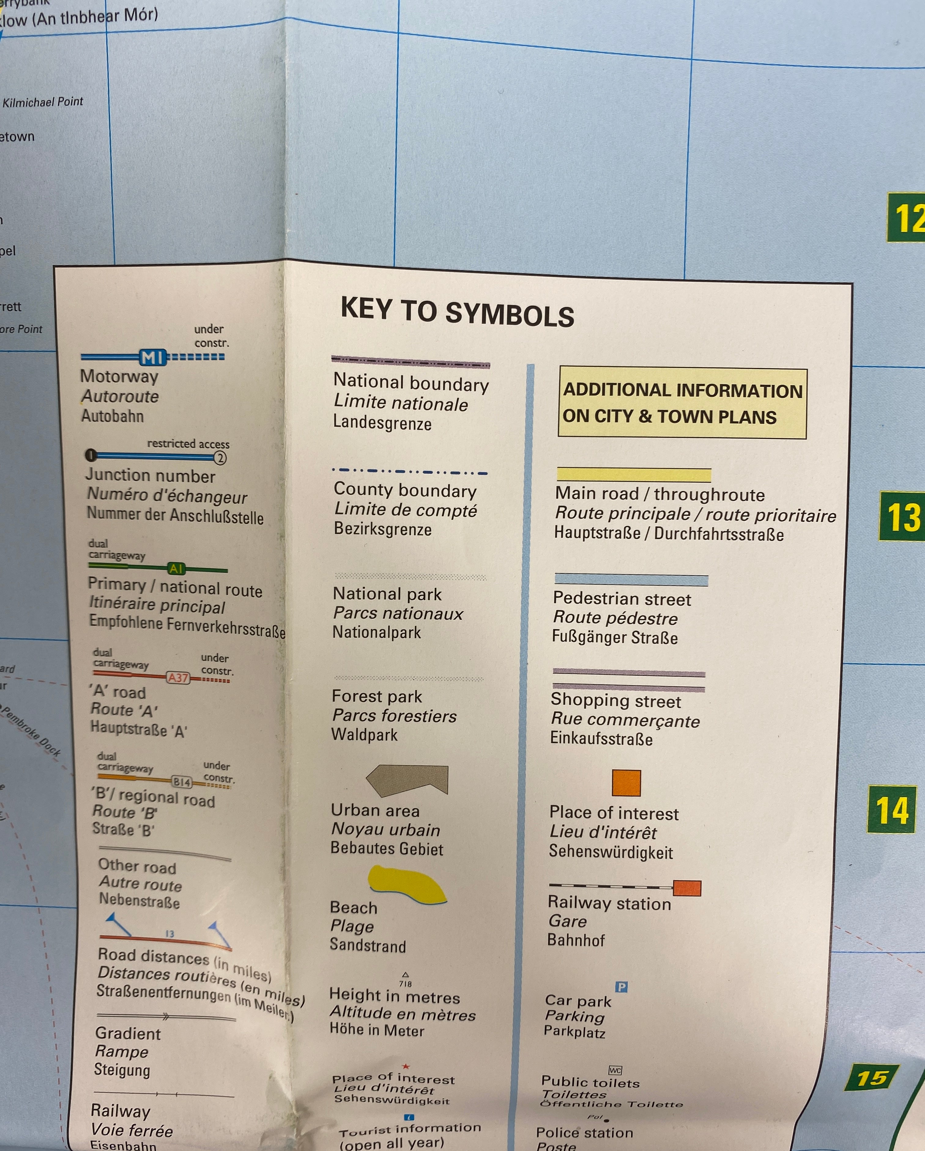
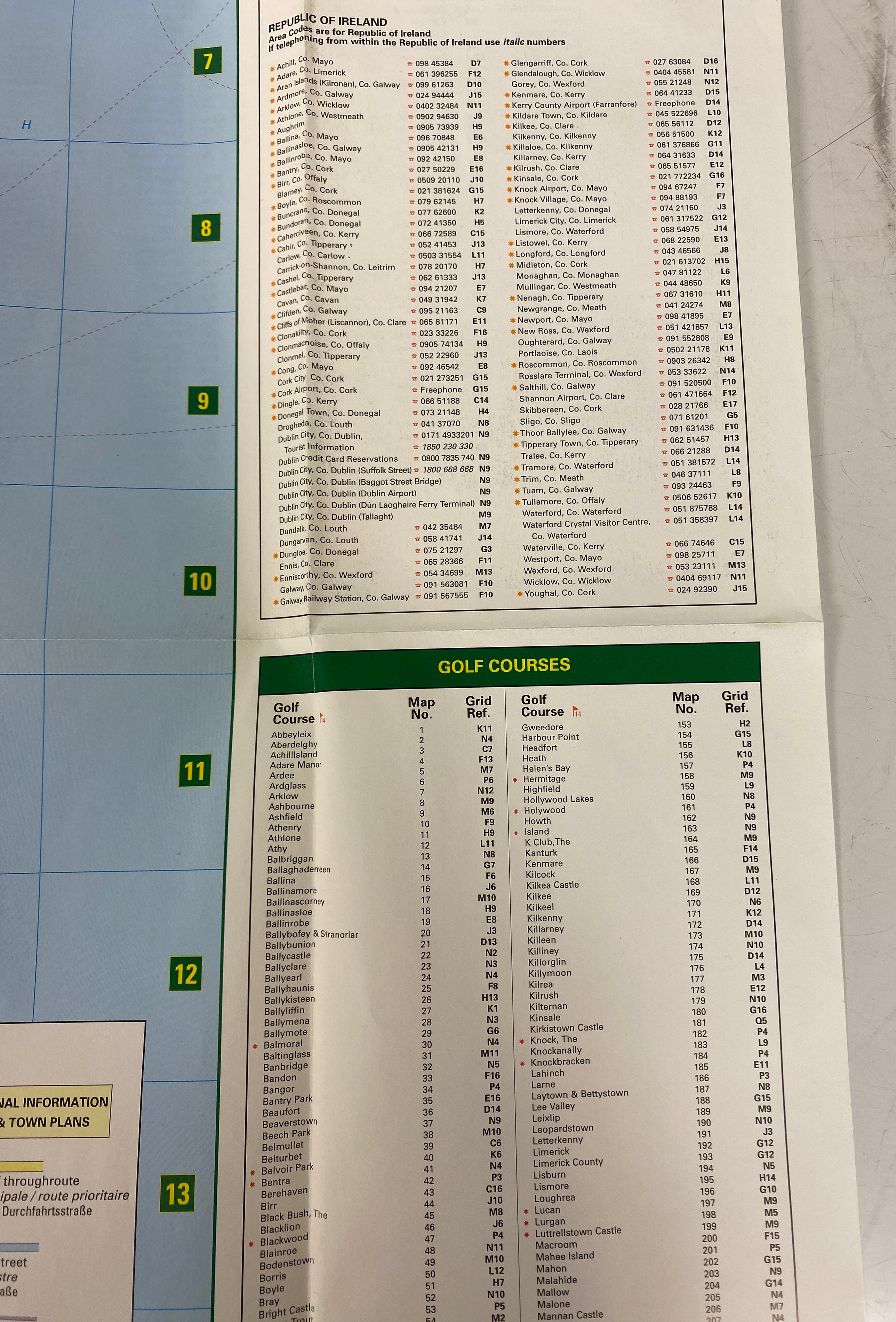
These maps are great for travel planning or adding to your collection. To use them, simply unfold and lay them flat to view the detailed geographical information. When traveling, you can fold them up and carry them in your bag. For storage, it's best to keep them in a dry and cool place to prevent damage. Avoid getting them wet, as it may cause the ink to run. If they get a bit dirty, you can gently wipe them with a dry cloth. Be careful when folding and unfolding to prevent tearing, especially along the edges. Enjoy exploring Britain and Ireland with these vintage maps!


Copyright (C) likefindsk.com 2025 All Rights Reserved.
TOP